Elsa Guðbjörg Vilmundardóttir’s name is etched into Icelandic scientific history as the country’s pioneer female geologist. Her lifelong commitment to earth sciences made a quiet revolution, not just for her discipline but for the presence of women within it.
From Vestmannaeyjar to scientific firsts
Born in 1932 on the windswept Vestmannaeyjar, the Westman Islands, Elsa faced early challenges. Following a family move to Siglufjörður, loss marked her childhood when her father died in an accident. Raised in part by her grandparents, and later with her mother in Reykjavík, Elsa grew up during a period of rapid social change in Iceland.
After completing her secondary education in Reykjavík in 1953, she travelled to Stockholm in 1958 to specialise in geology, at a time when few Icelandic women studied natural sciences abroad. Her academic path led her into intense field study during summers, supporting geological investigations vital to Iceland’s growing interest in hydropower.
Mapping the ground beneath Iceland
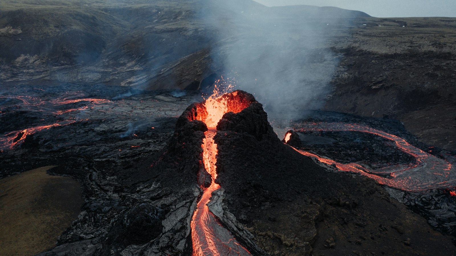
When Elsa returned home, she began professional fieldwork that would last her entire career. Initially self-employed, she contributed to the earliest geological assessments supporting power station projects in the southern highlands. Her special attention was drawn to the unique volcanic terrain of Tungnáröræfi, known for vast lava flows and tuff, hardened volcanic ash, that overlay the landscape.
By the late 1960s, she took a post with the National Energy Authority (Orkustofnun), staying with the institute until her retirement in 2004. Elsa oversaw key mapping initiatives, particularly in the Þjórsá river basin, collaborating with Landsvirkjun, Iceland’s main power company, to produce coordinated geological maps. Between 1983 and 1999, her supervision fostered the production of more than twenty detailed maps, laying the foundation for modern understanding of Iceland’s southern geology and helping guide both researchers and energy planners.
Her research extended throughout Iceland, with much of it concentrated north of Vatnajökull’s glacier and along the eastern volcanic belt. Elsa meticulously mapped moss, bedrock, sediment, and ancient eruptions, contributing to knowledge about how Iceland’s explosive forces shaped the land. Her studies of prehistoric Hekla volcano activity also provided vital data on the island’s dynamic geological past.
Legacy of science and service
Elsa’s work was widely recognised in both scientific and community spheres. As a co-founder and chair of the Icelandic Earth Association, she supported generations of geologists. Her roles extended to the Red Cross in Kópavogur and the Health Circle, where she worked to advance the cause of public health and emergency preparedness.
The many publications she authored or contributed to included a collaborative effort documenting 100 important geological sites in southern Iceland. Yet it is perhaps the detailed geological maps, the result of countless days in the field and years of analysis, for which her impact may endure the longest. Elsa passed away in 2008, but the thoroughness of her scientific work continues to shape the study and management of Iceland’s land today.
Sources
- Wikipedia
- Wikipedia (Icelandic) in Icelandic


