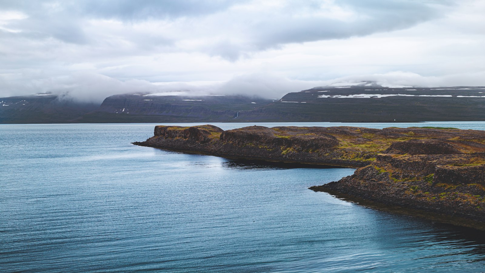
The Norwegian Sea lies between Norway, Iceland, and the Faroe Islands, playing a pivotal role in the interface between the Atlantic and Arctic regions. Its boundaries extend from the Norwegian coast up to Svalbard and Jan Mayen Island in the north, stretching westwards toward Iceland and the Greenland Sea.
A sea of depth and shifting plates
Unlike many neighbouring seas resting on shallow continental shelves, the Norwegian Sea’s floor drops to an average of around 2,000 metres beneath the surface. Much of its basin sits well outside any continental shelf and contains some of the deepest reaches in this part of the world, with its southern basin plunging between 3,500 and 4,000 metres.
This chasm was shaped through slow continental drift, about 250 million years ago, the Eurasian and North American tectonic plates slowly separated, and the sea widened and deepened as a result. The present-day continental slope off Norway marks an ancient rift that once joined the country to Greenland. Later, during the last ice age, colossal glaciers carved the rugged coastline, dragging much of Norway’s crust into the sea and forming dramatic fjords along the coast, especially between Helgeland and the Lofoten Islands.
Currents, climate and marine wealth
Four large ocean currents converge in the Norwegian Sea. Warm, salty waters enter from the North Atlantic, mixing with colder, less saline Arctic currents sweeping south from the Barents and Greenland seas. The North Atlantic Current is particularly influential; its warmth keeps the Norwegian Sea ice-free throughout the year, with average temperatures in winter between 2 and 7°C and climbing to about 8 to 12°C in summer.
Sea water in the upper layers is dynamic. Flow from the Atlantic can be twice as strong in winter as in summer, with water passing over the Vøring Plateau at depths of up to 700 metres near the Lofoten Islands before continuing into the Arctic Ocean. Marine scientists have found that the enormous heat stored by the Norwegian Sea’s deep layers is central to the mild climate experienced in Norway, more so than the often-cited Gulf Stream.
The sea’s diverse currents meet and mix, creating rich fishing grounds. Spawning cod, herring and other fish continue to make these continental slopes and trenches crucial habitats. Herring, for example, spawn in coastal waters in March; their eggs drift to the surface, carried northwards by current, and some adult populations spend the summer in the Barents Sea before returning to spawn again.
Beyond fish, the Norwegian Sea shelters deep-water coral reefs, such as those of Lophelia pertusa, which provide sanctuary for marine life. These reefs, however, face threats, from trawl fishing, for example, which damages their fragile structures.
Beneath its seabed, the Norwegian Sea holds substantial reserves of oil and natural gas. Norway began offshore drilling here in 1993, despite the difficulties and dangers posed by deep water and rough weather. One of the country’s largest gas developments, Ormen Lange, lies in water of 800–1,100 metres and began producing gas in 2007.
Sources
- Wikipedia
- Wikipedia (Icelandic) in Icelandic


