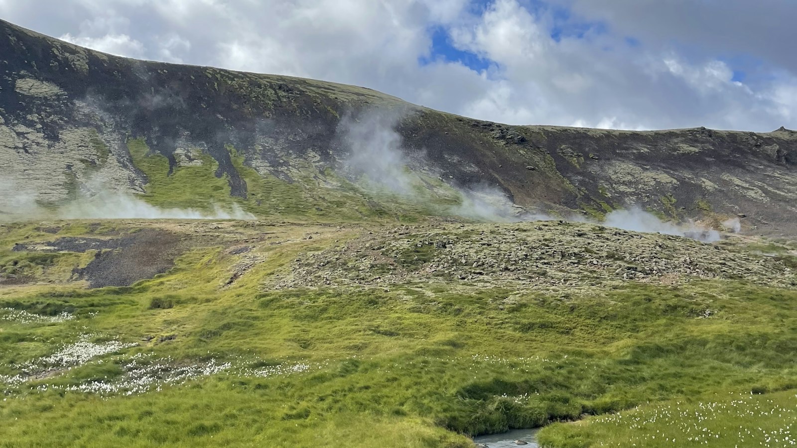
Hveragerði, whose name means “hot-spring yard” in Icelandic, is a small town in the south of Iceland, situated about 45 kilometres east of Reykjavík along Route 1. Covering 9 square kilometres, it is among the country’s smallest municipalities by area and has grown from a handful of residents to a community of nearly 2,800 as of 2021. The surrounding landscape, shaped by the Hengill central volcano, is marked by frequent geothermal activity and minor earthquakes.
The Varmá river, its name recalling warmth, flows through the centre of the town. Hveragerði has long benefited from natural hot springs, which have been essential to daily life for centuries. As early as the early 1700s, records note that these springs were used for bathing, laundry, cooking and even baking bread in the warm earth beside the springs. The village’s history is intertwined with this geothermal energy, which attracted both settlers and businesses.
A community built on geothermal innovation
In 1923, Iceland’s first greenhouse was built in Hveragerði, a milestone that established the area as a leader in horticulture. Harnessing hot water from volcanic springs, residents created greenhouses that remain central to the town’s identity. Even today, Hveragerði is often called the “flower town”, and horticulture continues to thrive here. The development of hydrothermal heating for homes began in 1929.
Hot springs are more than just practical resources. Some, like Sandhólshver, formed during a violent earthquake in 1896, stand as reminders of the region’s seismic past. Certain micro-organisms found in these springs are extremophiles, thriving at temperatures where few others could survive. A fenced-off geothermal park in the town provides a close look at the bubbling earth and fumaroles that define Hveragerði’s geography.
Hveragerði’s growth accelerated in the years after World War II, with the population rising from 121 in 1940 to about 400 by 1946. By the late twentieth century the town had expanded steadily, awarded municipal rights in 1987. Notably, residents felt the force of a magnitude 6.3 earthquake in May 2008, which caused injuries and damaged many buildings.
Community, culture and resilience
The town blends modernity with tradition. The Hveragerðiskirkja church, constructed from 1967 to 1972, reflects contemporary Icelandic architecture. Nearby, Listasafn Árnesinga, the local art museum, exhibits around 500 works of art, showing the creative side of this geothermal town. Parks such as Hveragarðurinn, with its spring-fed features and informative displays, and Lystigarðurinn Fossflöt, home to a hydroelectric station built in 1902, offer communal green spaces.
Education and culture are also part of daily life, from local schools to the brass band of Hveragerði. Skyr production has its own legacy in the town, with the first local skyr (a traditional Icelandic dairy product) and yogurt made here in the mid-20th century.
Sport and recreation hold a place too. Hamar, the town’s football club, competes in the lower tiers of Icelandic football, while Hveragerði’s swimming pool at Laugaskarð is one of Iceland’s largest, matched only by Reykjavík’s Laugardalslaug.
Hveragerði’s location, history and use of geothermal energy create a uniquely Icelandic blend of resilience and adaptation, its daily life shaped by the living earth beneath it.
Sources
- Wikipedia
- Wikipedia (Icelandic) in Icelandic


