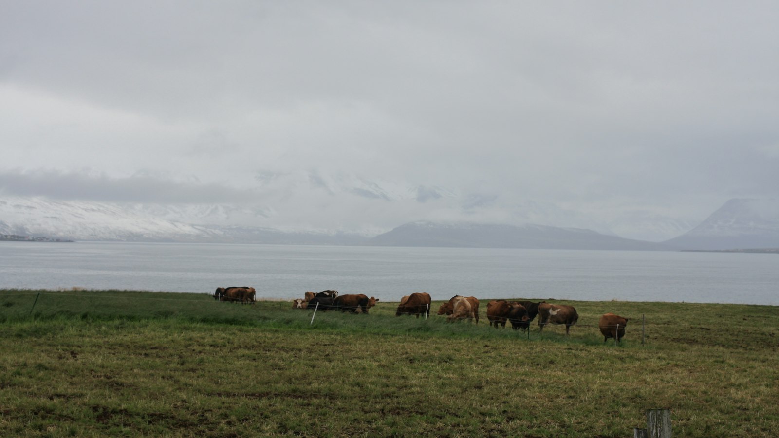
Skefilsstaðahreppur was one of the old Icelandic municipalities, or hreppur, that dotted the map of north Iceland for centuries. Named after the farm Skefilsstaðir, it occupied the eastern side of the Skagi peninsula, a region marked by steep valleys, remote roads and an economy once tied to farms and cattle.
Landscapes divided by nature
The boundaries of Skefilsstaðahreppur contained two naturally distinct areas: the valley of Laxárdalur and the protruding landform of Skagi itself. The outer Laxárdalur valley stretched southwards from the peninsula, with the Laxá river running its full length. Mountains define these lands, Hrafnagilsfjall stands between Laxárdalur and Hallárdalur to the west, while the Tindastóll ridge marks the eastern edge of the valley and extends north to meet the ocean’s edge along Skagafjörður. To the west, Skefilsstaðahreppur bordered Vindhælishreppur, separated by stretches of sea.
Settlements and travel routes were shaped by challenging geography. Old roads from Laxárdalur made their way over mountain passes such as Laxárdalsheiði and Þverárfjall, providing passage to neighbouring communities like Sauðárkrókur and Blönduós. Some paths were suitable only in winter or when tides were out, particularly the dangerous coastal track north of Tindastóll towards Reykir. The arrival of bridges and later roads in the early 20th century, including the first drive across Laxárdalsheiði in 1933, finally made regular car travel possible.
From cattle dues to local councils
Life in Skefilsstaðahreppur revolved around its farms and pastures. Records from 1802 detail the sale of important estates once belonging to the church at Hólar, including Hraun, Neðranes, Malland, Keta, and others. These transactions included measurements in kúgildi, a form of currency based on the value of cattle, reflecting how central livestock was to local wealth and obligation. Skefilsstaðahreppur’s old local assembly met at Skefilsstaðir, reinforcing the significance of these historic settlements.
Through the decades, Skefilsstaðahreppur saw changes in governance and population. The council’s history dates from 1874, with a succession of chairpersons representing both the shifting fortunes and enduring traditions of this rural society. Like many Icelandic regions, Skefilsstaðahreppur’s population dropped steadily across the 20th century; by 1997, the year before unification, just 45 people were recorded as residents.
Financially, the municipality was notable for its stability. In 1997, it was described as the richest among the local governments soon to combine, with debt-free finances and a per capita balance significant for such a small community. On 6 June 1998, Skefilsstaðahreppur joined with ten others to form the larger Skagafjörður municipality, closing a long chapter in local history.
Sources
- Wikipedia
- Wikipedia (Icelandic) in Icelandic


