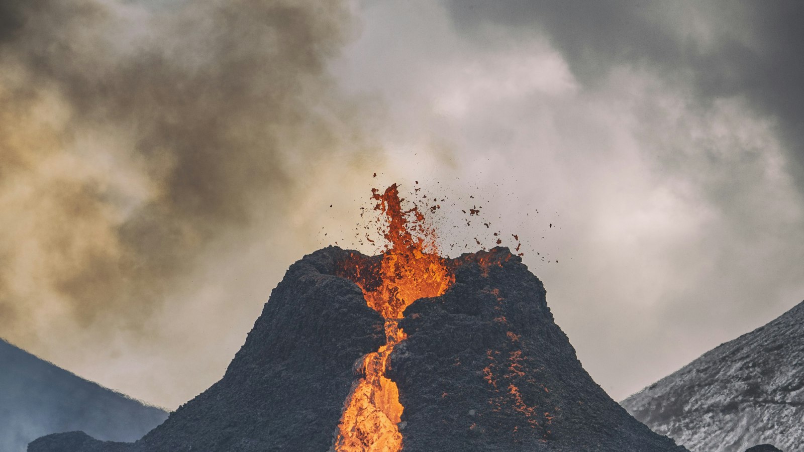
From late August 2014 to February 2015, Iceland’s Bárðarbunga volcanic system was the site of an unusual eruption that captured the world’s scientific attention. Known for its immense subglacial volcano beneath the Vatnajökull ice cap, Bárðarbunga had been under close watch as seismic activity in the region escalated for years before the eruption broke through the surface in the Holuhraun lava field.
Escalating earthquakes and shifting ground
Seismic indicators of unrest began building as early as 2007, with a marked increase in activity through 2014. GPS stations in the region recorded 14 cm of ground displacement since unrest started, far surpassing Iceland’s general background tectonic movement of about 2 cm in the same period. This movement traced the slow separation of the Eurasian and North American tectonic plates. By mid-August 2014, a swarm of up to 1600 earthquakes struck in a single night, most beneath the Dyngjujökull glacier and to the east of Bárðarbunga’s central caldera. Some tremors exceeded magnitude 5, the strongest Iceland had seen since 1996.
As the days passed, a magma-filled dyke, an underground channel, stretched outward from Bárðarbunga for some 40 km, reaching a depth between 5 and 8 km below the surface. Earthquakes clustered around the tip of this intrusion, indicating magma was advancing. By late August these seismic signals had prompted the authorities to raise their aviation alert code first to yellow, then orange, and for a brief time, red, reflecting the potential risk of an eruption under ice and the possibility of ash and flooding.
A rare surface eruption and its impact
On 29 August 2014, seismic measurements and a surveillance flight confirmed what many had anticipated: lava had breached the surface north of the Dyngjujökull glacier in Holuhraun, far from the main crater. The fissure extended up to 1.5 km at its longest. Over the following days, lava spread quickly, covering about 12 square kilometres by 5 September.
Despite the dramatic outpouring of molten rock, the eruption was classified as a Hawaiian type, marked more by rivers of lava than explosive ash. However, intense emissions of sulphur dioxide gas harmed air quality in Iceland, posing challenges to local communities and livestock. In contrast to the ash-rich Eyjafjallajökull eruption of 2010, the 2014–2015 Bárðarbunga event had no effect on flights beyond the immediate area, since there was minimal volcanic ash produced.
Meanwhile, scientists observed major physical changes in the region. The glacier within the Bárðarbunga caldera subsided by 15 metres, the greatest measured in Iceland since record keeping began in the mid-1900s. Depressions appeared on Dyngjujökull, hinting at possible short-lived eruptions beneath the ice.
The eruption eventually ceased at the end of February 2015, after nearly six months. The event provided Icelandic and international researchers with extensive data on plate tectonics, volcanic gas emissions, and interactions between magma, ice and river systems. Its legacy is visible in the changed landscape of Holuhraun and in local memory of weeks spent tracking earthquakes and sulphur-laden skies.


