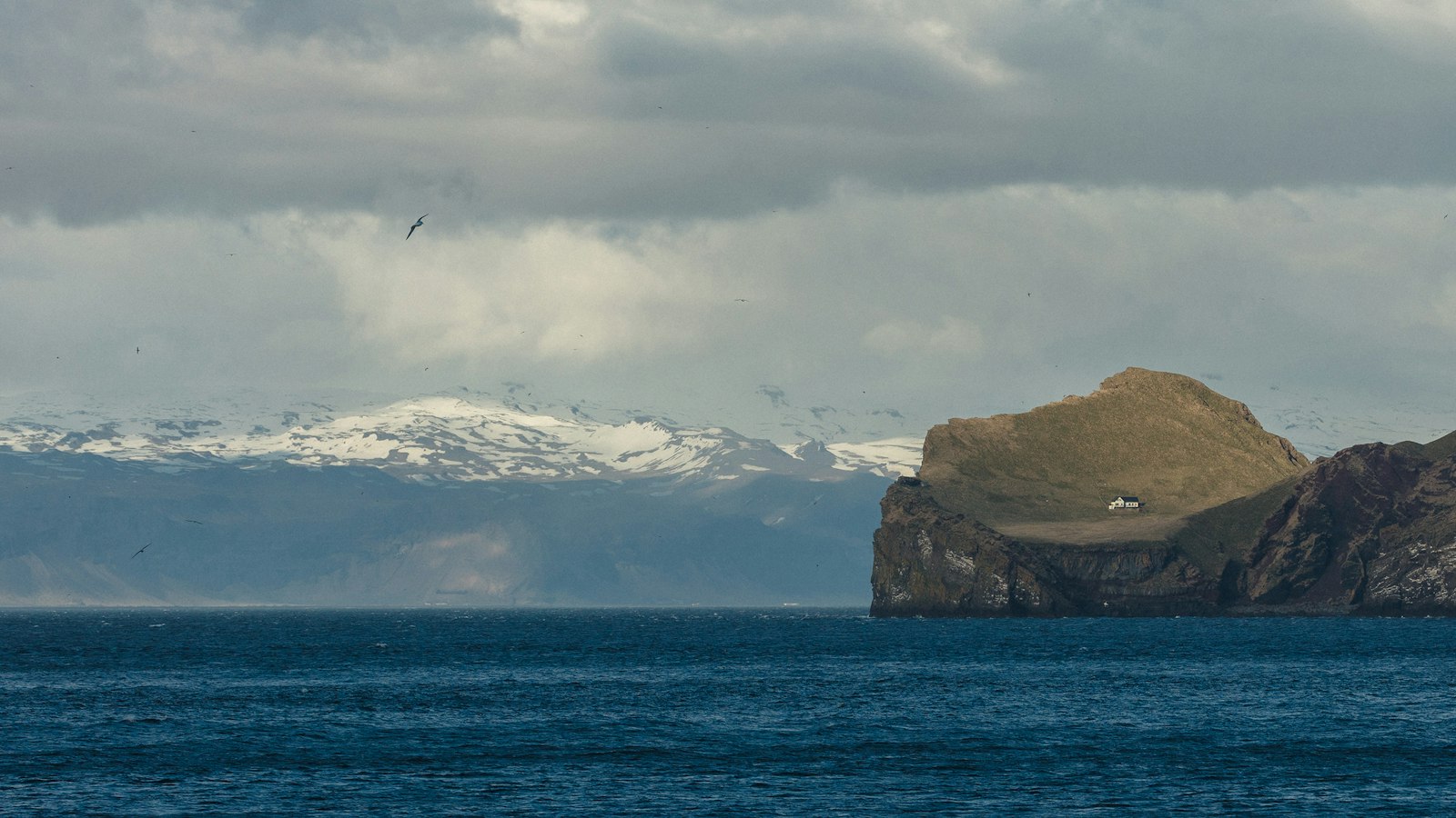
Off Iceland’s southern coast, Surtsey rises as the country’s southernmost point, a feature that did not exist until the mid-20th century. Part of the Vestmannaeyjar archipelago, Surtsey’s emergence is a rare event in modern history, a new landmass built in plain view through volcanic power and oceanic resilience.
An island’s fiery beginning
Before dawn on 14 November 1963, a fishing trawler spotted an unusual column of dark smoke southwest of its position. The source was not a fire aboard another ship, as first suspected, but ash and explosions marking the start of Surtsey’s birth. These eruptions began 130 metres beneath the sea, gradually accumulating volcanic material until it breached the surface.
Seismic stations in southwest Iceland first recorded weak tremors between 6 and 8 November 1963, but the eruption became visible only days later. By the time the column of ash and steam became apparent to mariners, repeated magma flows had raised a mound that the Atlantic could no longer suppress. Within days, an island of scoria, dark, porous volcanic rock, had formed, initially over 500 metres long and already 45 metres above the waves.
The eruption, sometimes violently explosive where sea met rising lava, sent ash clouds up to 10 kilometres into the atmosphere and scattered rocks as far as a kilometre away. Over time, these eruptions focused on a single vent, shaping the loose, fast-eroding mound into a more consolidated island structure.
From volcanic birth to island science
After months of activity, Surtsey’s eruptions produced hard, erosion-resistant layers atop the initial loose tephra (fragmental volcanic material). By February 1964, the island measured over 1,300 metres in diameter. Lava flows replaced explosive activity, expanding the island to its maximum size of 2.7 square kilometres by the time volcanic action ceased on 5 June 1967.
Surtsey was named for Surtr, the fire giant of Norse mythology who is said to cover the world in fire at Ragnarök (the end of days). In its early weeks, even a group of journalists from France landed briefly and humorously declared it French, though Iceland quickly established sovereignty.
The birth of Surtsey was not a solitary event. Other temporary islands such as Jólnir and Syrtlingur also formed nearby, but constant wave action quickly reclaimed them beneath the sea. Surtsey’s endurance is owed to the lava’s eventual ability to resist the pounding Atlantic waves.
Since its formation, Surtsey has been protected by strict regulations, designated as a nature reserve since 1965 and included in the UNESCO World Heritage List from 2008. Apart from occasional researchers with special permits, access is forbidden to preserve its role as a natural laboratory for studying plant and animal colonisation, as well as geological processes.
Wave and wind erosion have steadily reduced its surface area, shrinking from 2.7 to around 1.3 square kilometres by 2012. The island continues to be measured and monitored; scientists estimate Surtsey will persist above sea level at least until the end of this century.
Sources
- Wikipedia
- Wikipedia (Icelandic) in Icelandic


