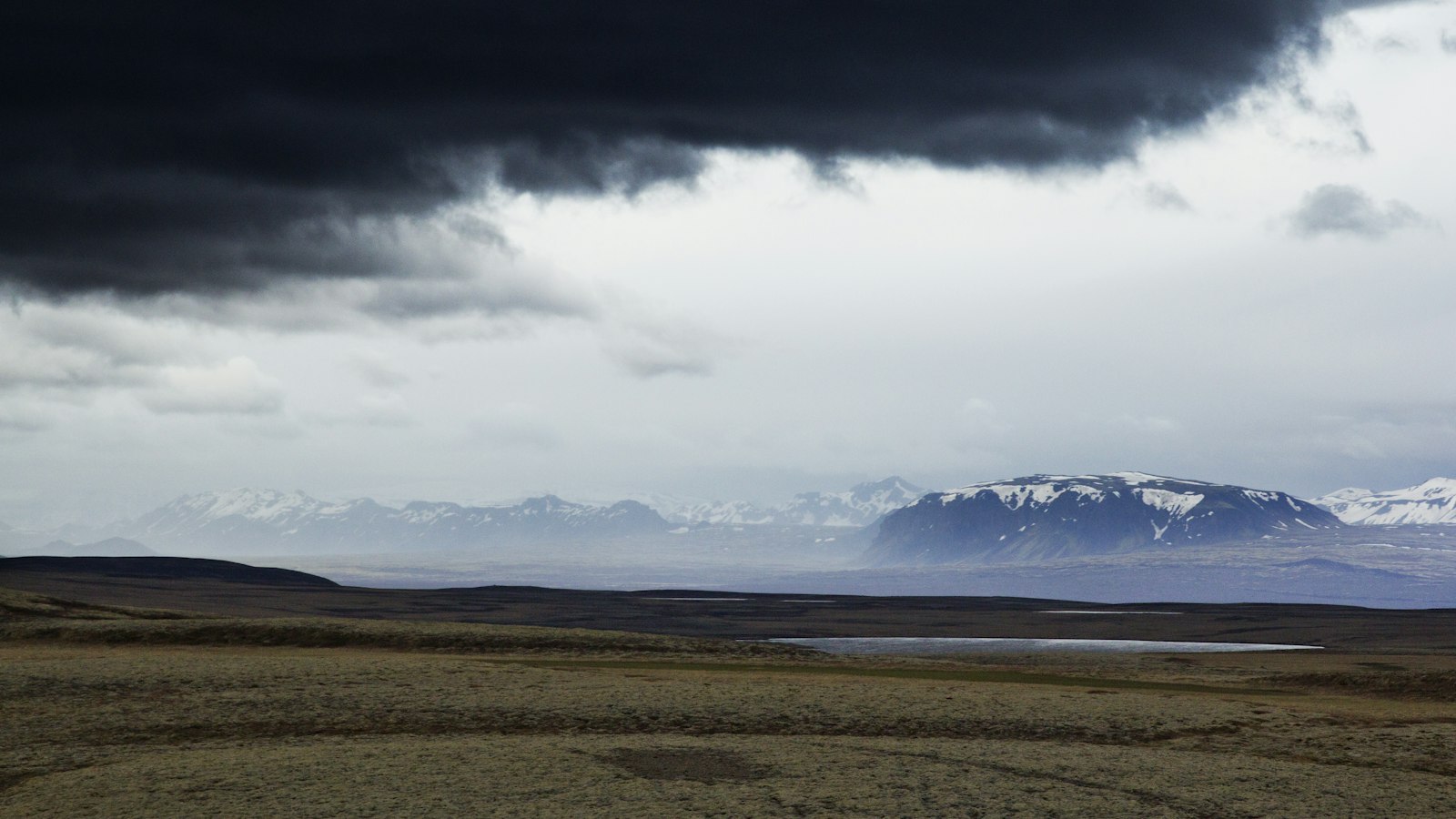
Large parts of Iceland face severe weather as the Icelandic Meteorological Office has issued yellow and orange storm warnings for Wednesday into Thursday, according to Sunnlenska and other local news outlets. The warnings cover nearly all regions, with particular attention on Suðurland (South Iceland) and Suðausturland (Southeast Iceland), as well as the remote Westfjords and Norðurland vestra (Northwest Iceland).
On Wednesday morning, a yellow warning will cover Suðurland and Suðausturland between 06:00 and 12:00, but this has been updated to orange from 05:00 to 10:00 for Suðurland. The most severe conditions are expected in the Westfjords and Norðurland vestra, where orange warnings will take effect from late Wednesday and continue into Thursday morning.
Forecasts expect east to northeast storm winds generally in the range of 15–25 metres per second, with sharp gusts possible. Some forecasts list locally stronger winds of 18–28 m/s for Suðurland and gusts exceeding 40 m/s in some areas. These conditions are likely to cause significant transportation disruptions, especially where yellow and orange warnings are in place.
Police in Vestmannaeyjar (the Westman Islands, off Iceland’s south coast) have specifically urged extra caution for children and young people travelling to school during the orange warning in Suðurland. Authorities across the country warn of heavy precipitation, difficult road conditions, and heightened avalanche or landslide risk, especially in the Eastfjords. A yellow landslide warning is active for the Austfjörðir due to short, intense rainfall, and another was issued for Strindir and the Westfjords, linked to warm air and increased runoff.
Sources
- Sunnlenska (first reported) in Icelandic
- Vísir in Icelandic
- RÚV in Icelandic
- DV in Icelandic
- Feykir in Icelandic
- Austurfrétt in Icelandic
- Eyjafréttir in Icelandic
- Sunnlenska in Icelandic
- RÚV in Icelandic
- mbl.is in Icelandic
- Vísir in Icelandic


