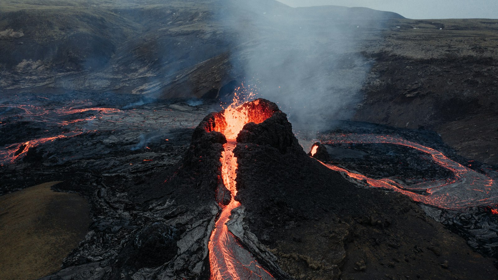
Just outside Reykjavík, in the shadow of the city’s expanding suburbs, a landscape both colourful and strange rises from the lava fields. These are the Rauðhólar, meaning “Red Mounds” in Icelandic, a vivid cluster of volcanic features at the fringe of the Heiðmörk nature reserve.
The making of red mounds
The red tint that gives Rauðhólar its name is caused by oxidised iron in the rocks. But the origins of this landscape reach back about 5000 years to a time when molten lava from a shield volcano, Leitin, swept down from Hellisheiði. As the lava, now called Leitahraun, spilled across what was once a lake near present-day Elliðavatn, the scene was set for something extraordinary.
Unlike classic volcanoes, these cones, sometimes known as pseudocraters or gervigígar in Icelandic, were not vented directly from earth’s crust. Instead, when the hot lava covered wet ground and shallow water, the sudden interaction led to explosions of steam. These bursts created regularly shaped craters, built from fragments of scoria and capped with welded spatter.
A living record of ancient eruptions
Early surveys before the twentieth century counted around 150 cones stretching over the Elliðaárhraun lava field, itself about 2 km wide and extending for 27 km in length. The largest Rauðhólar cone once spanned 212 metres and rose 22 metres above the surrounding plain. Their internal layers record eruptive phases, from the original lakebed mudstone through up to seven metres of lava and five metres of volcanic scoria.
Grouped mostly in lines or close clusters, the cones’ placement may reveal the paths taken by lava beneath the earth at the time, and the varying water content below. Some individual cones contain more than one crater, and their formations show decreasing explosivity over time as accessible water was depleted.
While Iceland is dotted with similar rootless cones, such as those at Mývatn in the north, such features are rare worldwide. Remarkably, structures with similar shapes have been identified on Mars, opening new avenues for understanding volcanic and water activity on other worlds.
From gravel pit to protected landscape
In more recent centuries, the Rauðhólar mounds played a very different role. Their gravel was in high demand for construction, particularly around World War II for projects including Reykjavík Airport and local roads. This extraction drastically reduced the number of cones, from more than 100 to far fewer today.
Since 1961, however, the area has enjoyed protected status and is part of the larger Reykjavík nature reserve of Heiðmörk. The Rauðhólar remain a reminder not only of volcanic power, but of Iceland’s evolving relationship with its landscape.
Sources
- Wikipedia
- Wikipedia (Icelandic) in Icelandic


