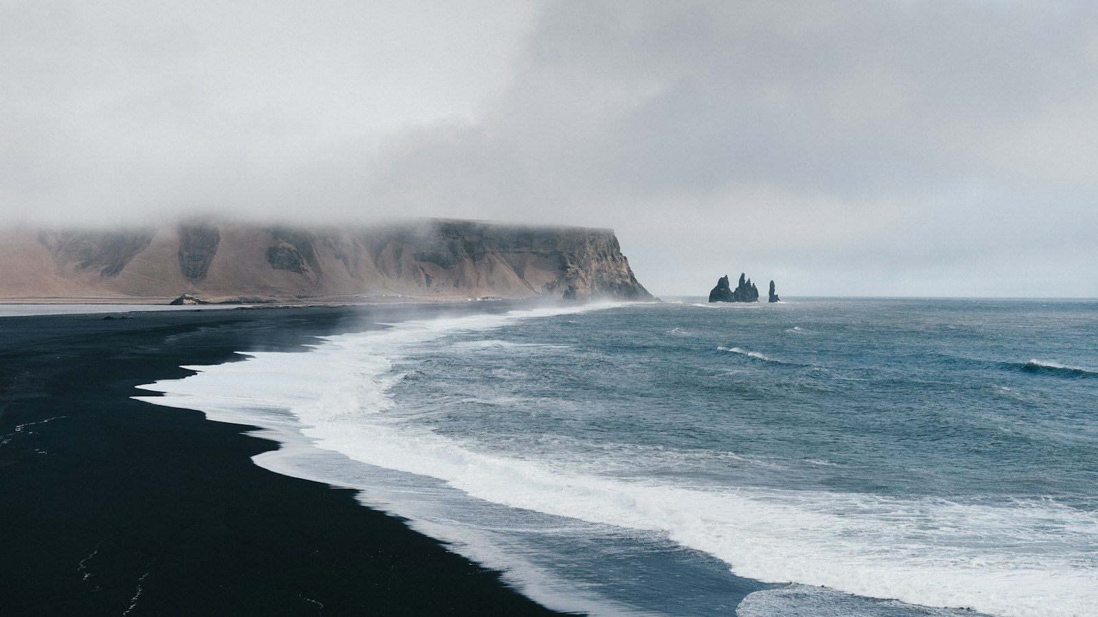
Mýrdalssandur, which means “Mýrdal’s sand plain” in Icelandic, stretches across the south coast of Iceland. Framed by the Kúðafljót river in the east and the Múlakvísl in the west, this expanse marks the point where the mighty Mýrdalsjökull glacier sends meltwater to the Atlantic. The plain’s coastline runs 35 kilometres and reaches Iceland’s southernmost tip at Kötlutangi.
A landscape shaped by volcanoes and floods
The creation of Mýrdalssandur is a story written in water and fire. Over centuries, repeated jökulhlaups, glacial outburst floods, have swept across the region following eruptions of the Katla volcano underneath Mýrdalsjökull. The most dramatic instance occurred in 1918, when an explosive event triggered a flood estimated at 200,000 to 300,000 cubic metres per second. Earlier eruptions and floods have been recorded as far back as 894, with major events in the years 1000, 1311, 1416, 1580, 1612, 1625, 1660, 1721, 1755, 1823, 1860, and notably 1918. These cataclysms not only shaped the black sand plain but also buried entire settlements.
Jökulhlaups have repeatedly pushed the coastline outward, bringing sand to places which once held deep fjords. Fjörður, an Icelandic word for fjord, describes how there was once a long inlet extending inland beside Hjörleifshöfði, a solitary mountain rising 231 metres from the sand.
Settlements, legends, and a lost monastery
The land south of today’s Ring Road, which now crosses 25 kilometres of the plain, was once dotted with farms. Medieval records indicate that around the year 1000, four parishes existed in a district known as Álftaver. Frequent volcanic disasters, floods, and ashfall eventually forced most farmers to abandon their homes by the 15th century. A handful of farms persisted into the 21st century near Álftaver.
Local legend lingers around features such as Kerlingarfjörður, once a fishing lake at the mouth of Múlakvísl. Its Icelandic name means “the old woman’s fjord” and recalls the fate of a settler’s elderly companion swept away by water.
Religious life also left its mark on Mýrdalssandur. In 1168, the Augustinian monks founded a monastery at Þykkvabær í Veri. The monastery, later known as Þykkvabæjarklaustur, was under the leadership of Saint Thorlak, who went on to serve as bishop in Skálholt and is considered a national saint. The monastery continued as a wealthy farm after the Reformation in 1550, but was finally abandoned in 1945.
Hjörleifshöfði takes its name from Hjörleifr Hróðmarsson, one of Iceland’s first settlers, said to have arrived with Ingólfr Arnarson. Not far off, the isolated peak of Hafursey stands 582 metres above the sands.
Modern echoes in popular culture
The stark, open landscape of Mýrdalssandur has become a striking location for international filmmakers. Scenes from “Rogue One: A Star Wars Story” were filmed here, using the plain’s alien terrain to stand in for distant planets.
Sources
- Wikipedia
- Wikipedia (Icelandic) in Icelandic


