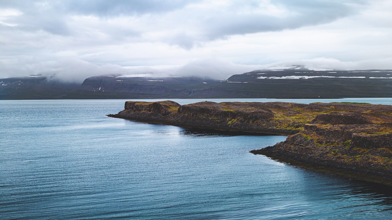
Far out in the Greenland Sea, a small basalt outcrop named Kolbeinsey stands as Iceland’s northernmost point. Positioned 105 kilometres from the mainland and 74 kilometres northwest of Grímsey, Kolbeinsey rises just above the Arctic Circle but is rapidly succumbing to the relentless forces of the ocean.
A fragment of history and geology
Kolbeinsey derives its name from Kolbeinn Sigmundarson, a figure in the “Svarfdæla saga” who is said to have perished at the islet with his crew after their ship ran aground. First recorded in the saga literature and 1616 measurements, the islet once measured an impressive 700 metres in length and 100 metres in width. By the turn of the 20th century, it had already dwindled to half its initial size. Modern assessments confirm a much-reduced form: in 2001, Kolbeinsey spanned just 90 square metres, with a maximum elevation of 8 metres. By 2021, only two skerries, small rocky islets, remained visible at low tide.
Composed entirely of dark basalt, Kolbeinsey is a geological product of the Mid-Atlantic Ridge, a tectonic boundary that shapes much of Iceland’s landscape. The islet represents the only portion of the Kolbeinsey Ridge (a volcanic ridge extending northward) to break the ocean’s surface. The formation is believed to date from the late Pleistocene or Holocene, with evidence of submarine eruptions in the area as recently as 1999.
Changing boundaries and fading wildlife
Despite its modest size, Kolbeinsey has played a surprising role in Iceland’s modern history. In 1952, Iceland identified it as a baseline for defining exclusive fishing rights. When Iceland declared a 200-nautical-mile exclusive economic zone (EEZ) in 1975, Kolbeinsey’s presence extended fishing and resource claims in the region. This led to disputes, particularly with Denmark and Greenland, until a 1997 agreement resolved boundaries in the area and ended efforts to fortify the islet. Previously, a concrete helipad was constructed in 1989 to aid access, but wave erosion soon rendered it unusable.
Kolbeinsey lacks vegetation and once attracted large numbers of seabirds, such as murres and gulls. In earlier years, the birdlife was so docile that people could reportedly capture birds by hand, but breeding ceased, possibly due to egg collection by outsiders. The harsh location, frequently surrounded by pack ice and known for seals and whales in the area, means Kolbeinsey is more visited by animals than humans.
As Kolbeinsey continues to erode, its days appear numbered. It remains a natural marker at the edge of Iceland’s territory, a site where geology and human claims meet and fade together in the shifting Arctic waters.
Sources
- Wikipedia
- Wikipedia (Icelandic) in Icelandic


