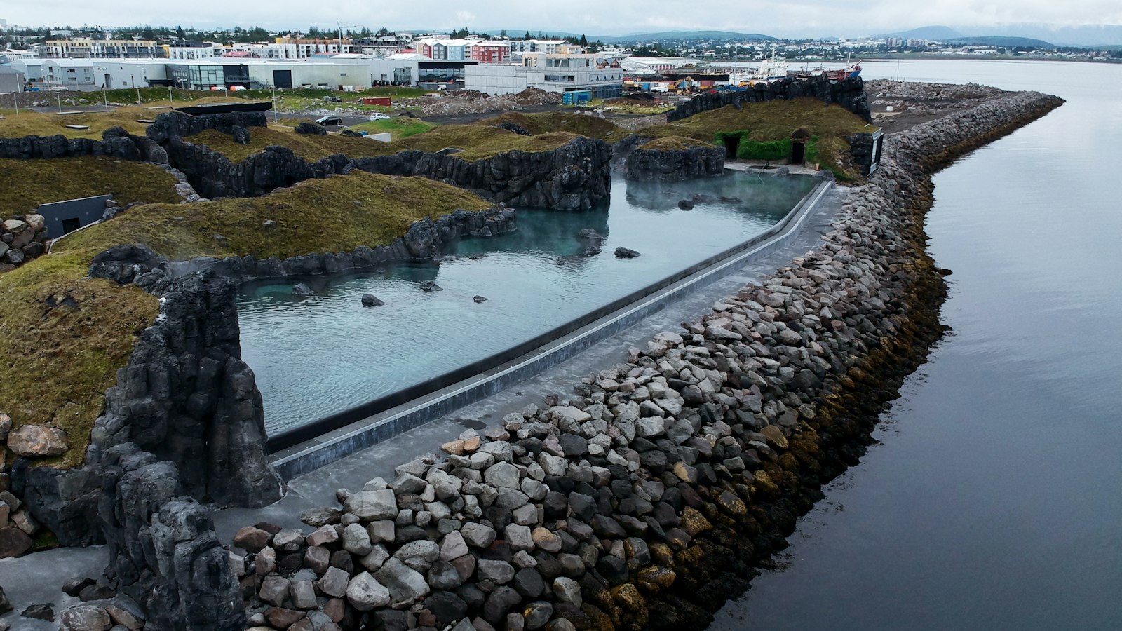
On the northern edge of Skagafjörður lies Reykir, once the outermost farm of the Reykjaströnd district. Though now abandoned, this site has layers of history, folklore and geological interest that stretch from the Viking age to the present day.
Saga, legend and the story of Grettislaug
Reykir makes a memorable appearance in Grettis saga, a cornerstone of Icelandic literature. According to the saga, the outlaw Grettir sterki (the strong) Ásmundarson swam from the island of Drangey to the mainland, a feat known as Drangeyjarsund or Grettissund. After his gruelling crossing, Grettir warmed himself in a natural hot spring just above the tide line at Reykir. The spring later came to be known as Grettislaug, which means “Grettir’s pool.”
The place-name Reykir itself points to its geothermal nature, as reykir is an Icelandic word also meaning “fumes.” Until the early twentieth century, two notable warm springs existed near the farm. Reykjalaug, lined with stones, was used for laundry, while Grettislaug was smaller in size. A fierce storm in the autumn of 1934 destroyed both pools when a sandbar shifted, causing their geothermal waters to be lost to the sea.
After almost six decades, Grettislaug was rebuilt in 1992 under the direction of the local farmer Jón Eiríksson, known as the “Earl of Drangey.” Stones lined the new pool, and a breakwater was built to shield it from the North Atlantic surf. The spring is about 4.5 by 3.75 meters, roughly 80 centimetres deep, and has a temperature near 42 degrees Celsius (113 Fahrenheit). A small harbour nearby serves as a starting point for visitors travelling to Drangey island.
Chalcedony shores and traces of the past
Reykir’s coastline, under the steep flanks of Tindastóll mountain, includes the cove Glerhallavík. The name means “glass hall bay” and refers to the white chalcedony, quartz stones, that were once abundant on its shore. Polished by the relentless movement of the sea, these quartz amygdules would appear at low tide, their presence a result of geological processes over thousands of years. Today, most have vanished, collected by people over time, despite strict prohibition.
The area’s mineral wealth is also seen at Sandfell near Reykir, which once hosted an Iceland spar mine. This transparent calcite, valued for its optical qualities, was among the unique geological resources found in the region.
Grettislaug, Glerhallavík and the abandoned farm site together offer a window into both the natural forces and the saga traditions that shape the identity of north Iceland.
Sources
- Wikipedia
- Wikipedia (Icelandic) in Icelandic


