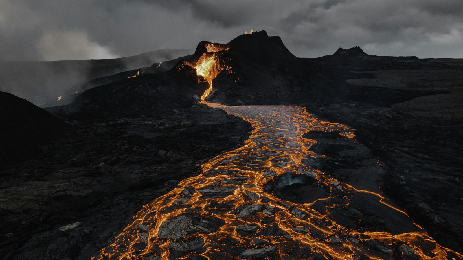
Fremrinámur lies in Iceland’s remote northeast, occupying a basalt plateau where continents move apart. The volcano stands at about 939 metres above sea level, marking a distinctive point where the Mid-Atlantic Ridge meets the Greenland–Iceland–Faeroe Ridge. This location makes Fremrinámur one of five major volcanic systems intertwined with the axial rift that slices across this region.
Layers of volcanic history
The heart of Fremrinámur is a central volcano surrounded by fissures known as a fissure swarm. These extend for about 130 kilometres from the volcano’s centre toward the North Sea coast, sometimes stretching up to 12 kilometres wide. The system is included in Iceland’s active Northern Volcanic Zone, where earth’s crust is shaped by both explosive and effusive volcanic events.
Evidence from geological surveys shows the area has seen extensive volcanic activity since the last ice age. In the early part of the Holocene epoch, Fremrinámur produced a vast lava shield, with over five cubic kilometres of molten rock flowing out to form new land. Subsequent eruptions between 5000 and 3000 years ago built additional lava shields, including the notable Ketildyngja, which alone accounts for four cubic kilometres of stone.
About 3200 years ago, a fissure eruption unleashed the Búrfellshraun lava flow, which now covers an area of 75 square kilometres. Analysis of more recent southern lava indicates potential links to the distant Bárðarbunga volcanic system, hinting at complex magma sources under the crust.
Tectonic boundaries and volcanic diversity
Fremrinámur’s geological context is marked by tectonic activity. Its volcanic system marks the eastern edge of faulting in the Tjörnes fracture zone, an area where shifting plates generate both eruptions and smaller seismic disturbances. In the northern stretches, faults have shown signs of dyke propagation, where magma forces rock apart, even in the absence of surface eruptions during the Holocene.
The volcano’s eruptive character has evolved over time. While today its lavas are mostly of the tholeiite basalt type, during the Pleistocene epoch, eruptions included more silica-rich lavas. This older activity built uncommon volcanic landforms such as tuyas, flat-topped volcanoes formed under ice, and tindars, which are narrow ridges of basalt born from eruptions beneath glaciers.
Fremrinámur is crowned by a geothermal zone, revealing that volcanic energy lingers just beneath the surface. The last confirmed eruption was around 800 BC, though the exact timing is uncertain. This blend of geological forces, diverse volcanic history, and striking landforms make Fremrinámur an important site for understanding how Iceland continues to be shaped by its deep geological past.


