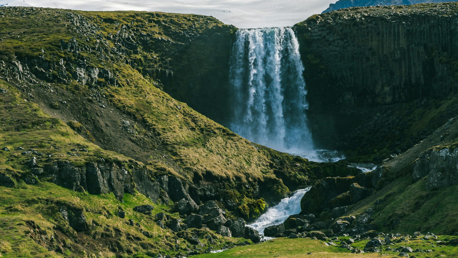
Tucked between the broad white expanses of Eyjafjallajökull and Mýrdalsjökull, Fimmvörðuháls, meaning “five cairns pass”, stands as a remarkable meeting point of fire, ice and human endeavour in southern Iceland. This highland pass forms a rugged corridor linking different worlds: the green valleys and birch scrubland of Þórsmörk to the waterfalls and upland plateaus near Skógar.
A pass shaped by glaciers, rivers and weather
The passage over Fimmvörðuháls is around 22 kilometres long, demanding about 1,000 metres in elevation gain as it traces the heights between the two glaciers. Travellers moving from Skógar towards Þórsmörk follow a route favoured not just for the physical challenge but for the shifting scenery, from the spray and sound of numerous waterfalls by the river Skógá to the open vistas over Þórsmörk when the trail crests the pass. The journey is typically undertaken between mid-June and late August, when Iceland’s weather is most forgiving.
Despite the brief window when the route is accessible, Fimmvörðuháls is renowned among walking routes in Iceland. Yet it is also recognised for its risks. Sudden weather shifts near the glaciers have long tested those venturing across. In May 1970, three travellers from Iceland, the Faroe Islands and Denmark lost their lives during a storm here, underscoring the unpredictable nature of the highlands.
New land forged by eruption
In March 2010, Fimmvörðuháls drew attention well beyond Iceland when, after months of earthquakes beneath the Eyjafjallajökull glacier, volcanic activity broke through the earth. On the night of 20 March, a fissure nearly half a kilometre long opened on the northern side of the pass. Over the following days, the fissure grew, marking its path with new craters that crept northwards toward the preserve of Þórsmörk.
These new craters received the names Magni and Móði, after the sons of the Norse god Thor. Just as the neighbouring valley Þórsmörk (“Thor’s forest”) draws from mythology, so do these raw features of the landscape. The lava that issued from Fimmvörðuháls formed a field called Goðahraun, named because it flowed into the area known as Goðaland. These names, rooted in Icelandic sagas and nature alike, were formally adopted by Iceland’s Ministry of Education and Culture in June 2010.
Barely a month after the Fimmvörðuháls eruption began, Eyjafjallajökull itself erupted more forcefully, bringing travel in much of northern Europe to a halt. Yet the mountain pass remains a place where Iceland’s elements, geology, climate, legend, are felt with rare intensity.
Sources
- Wikipedia
- Wikipedia (Icelandic) in Icelandic


