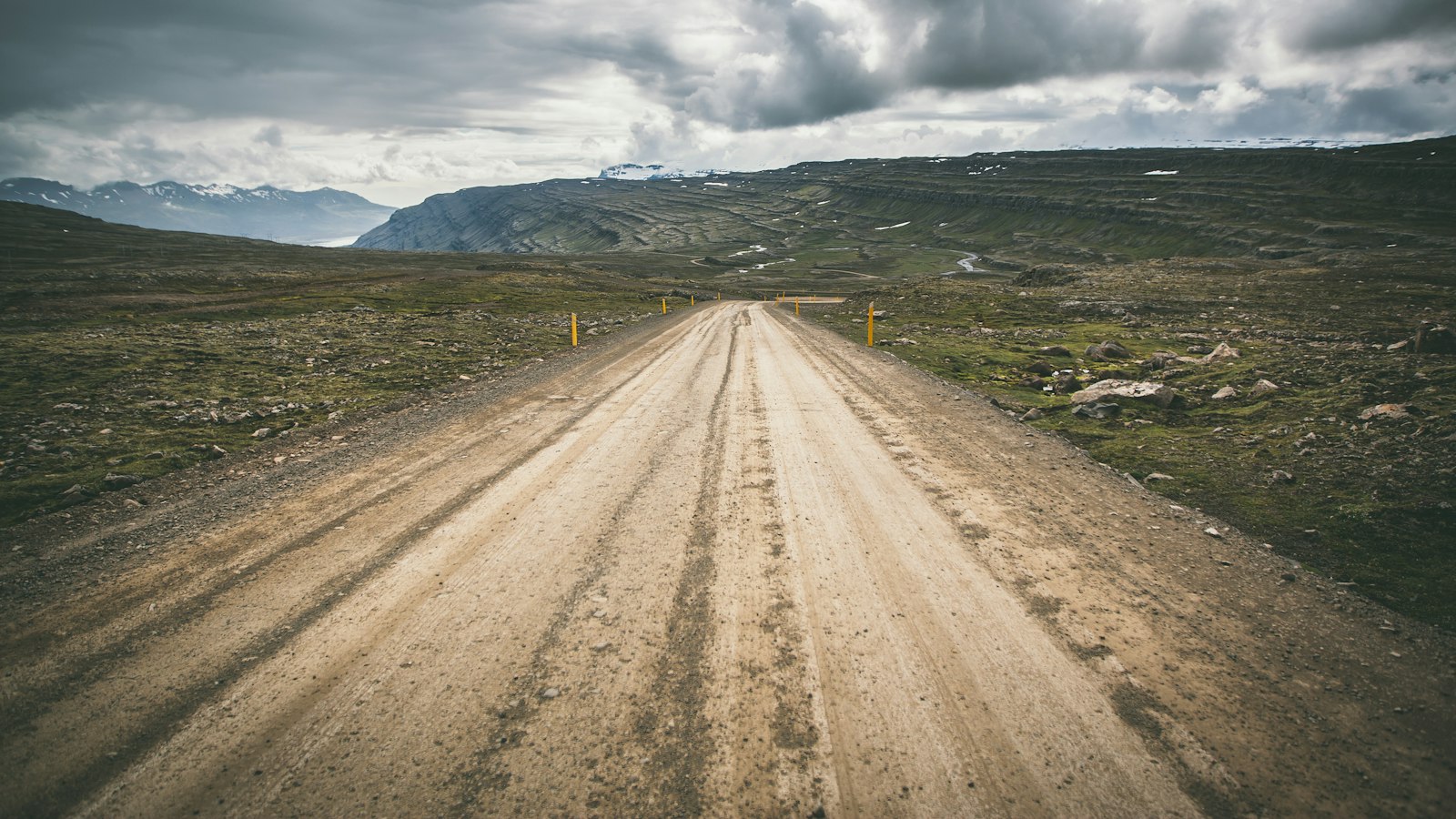
In a desolate corner of Iceland’s interior, where lava fields stretch for kilometres and rainfall is scarce, the Dyngjufjöll mountain range quietly towers above its surroundings. This volcanic massif in the country’s northeast is best known as part of the Askja volcanic system, and its isolated position has given rise to geological features that are exceptional even by Iceland’s standards.
A region forged by fire and ice
The Dyngjufjöll mountains sit squarely in the highlands, within an area of about 600 square kilometres. These peaks mark the centre of a volcanic fissure stretching 150 kilometres, dominated by the Askja caldera. Many summits rise to heights between 1,300 and 1,500 metres, with the highest point, Þorvaldstindur, reaching 1,510 metres. This peak honours Þorvaldur Thoroddsen, a pioneering Icelandic geologist.
Surrounded by the barren Ódáðahraun lava field, Dyngjufjöll lies roughly midway between the Skjálfandafljót river in the west and Jökulsá á Fjöllum to the east. To the south, the ice cap of Vatnajökull and its Dyngjujökull outlet glacier can be found just 15 kilometres away. The mountains reveal the legacy of an ancient stratovolcano, now layered with lava and ash from countless younger eruptions and built largely of palagonite, a volcanic rock formed under glaciers or in water.
Moonlike landscapes and human stories
Dyngjufjöll’s otherworldly terrain has drawn not just scientists but explorers as well. In the 1960s, NASA sent Apollo astronauts here to practice geological fieldwork in preparation for missions to the Moon, believing that Iceland’s barren volcanic environment came closest to lunar conditions. The names of the 32 astronauts who trained in the region are recorded at the Astronaut Monument in Húsavík.
The region’s remoteness is amplified by its climate. Lying northeast of the Vatnajökull glacier, Dyngjufjöll is in a rain shadow and receives only about 450 millimetres of precipitation annually. The area’s accessibility is restricted by harsh weather and remains open for only a brief period each year.
Several passes and valleys provide rare ways through the mountains. The Dyngjufjalladalur valley marks the western boundary, sometimes called Vestari-Dyngjufjöll, while Jónsskarð pass memorialises Jón Þorkelsson, who first described Askja after an explosive eruption in 1875. The caldera edge opens towards the east at Öskjuop, near where a trail leads to Lake Öskjuvatn. Mysteriously, two German researchers vanished in the area in 1907, and even a year later, a search expedition organised by one’s fiancée found no trace.
Nearby, the Drekagil gorge, known as Drachenschlucht or “dragon gorge”, lies in the mountains’ eastern reaches. Several huts managed by Icelandic hiking organisations provide refuge here and further north, standing as markers of sparse human presence in a landscape otherwise shaped by fire, ice and time.
Sources
- Wikipedia
- Wikipedia (Icelandic) in Icelandic


