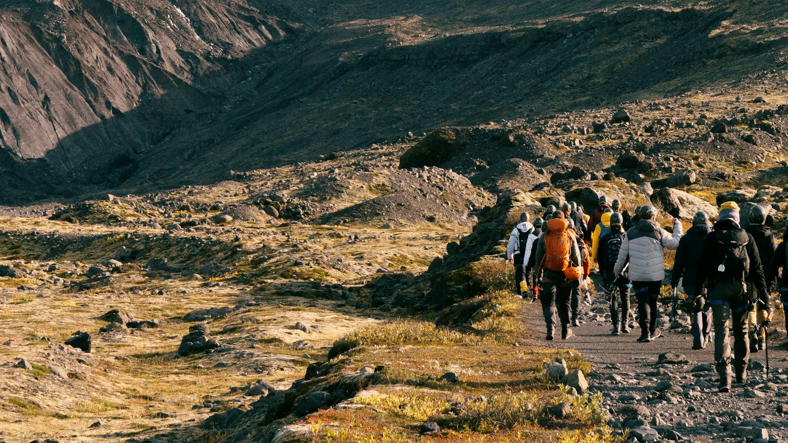
Iceland’s glaciers are renowned for both their scale and geological history. Of these, Drangajökull distinguishes itself as the northernmost and uniquely possesses a story deeply influenced by its maritime surroundings in the Westfjords. At about 150 km² in area, Drangajökull occupies the southern edge of the Hornstrandir peninsula, where cooler summers and considerable snow shape its future.
Glacial memory and the Holocene climate puzzle
A closer look at lake sediment cores encircling Drangajökull has revealed how it behaved during one of the planet’s warmest times: the mid-Holocene. While Iceland’s two biggest ice caps, Vatnajökull and Langjökull, shrank drastically between 9,000 and 6,000 years ago, Drangajökull proved more resilient. Researchers found that meltwater from Drangajökull continued to flow into nearby lakes through most of this period, evidenced by layers of mineral sediments left in these so-called ‘threshold lakes.” When incoming meltwater diminished, organic-rich mud (gyttja) began to accumulate instead, clear signs that the ice margin had retreated.
The ice cap’s staying power is attributed to its relatively low-lying equilibrium line, the zone above which more snow falls than melts in summer. Thanks to harsh winters and abundant precipitation along the Vestfirðir peninsula, Drangajökull’s equilibrium zone sits between just 550 and 600 metres, much lower than most Icelandic glaciers. Even today, it remains the country’s only major ice cap located entirely below 1,000 metres.
A modern portrait: measuring ice in motion
Rising above the glacier is its highest point, Jökulbunga, which reaches 925 metres. Other summits such as Hrollleifsborg, Reyðarbunga and Hljóðabunga break through the ice, lending further character to the landscape. Drangajökull’s outlet glaciers, including Kaldalónsjökull, Leirufjarðarjökull and Bjarnarfjarðarjökull, sometimes exhibit surge-type behaviour, briefly advancing even as the ice cap as a whole continues a long-term thinning trend.
Since 2008, modern airborne LiDAR surveys have mapped changes to Drangajökull with detailed precision. These measurements reveal that since around 1990, the glacier has lost about 1.19 km³ of ice, with an average thinning of 8 metres. Yet, surge-type advances in some outlet glaciers create a complex picture: thickening at the glacier’s edge and thinning further upstream.
Historically, Drangajökull also served daily life in the remote Westfjords. In past centuries, local residents traversed the glacier to transport driftwood by horse between Strandir and the inner fjords, underscoring the ways people have relied on and adapted to this landscape.
Drangajökull’s story, from persistent Holocene survivor to a subject of modern monitoring, offers a perspective on how climate, geography and tradition intertwine in Iceland’s north.
Sources
- Wikipedia
- Wikipedia (Icelandic) in Icelandic


