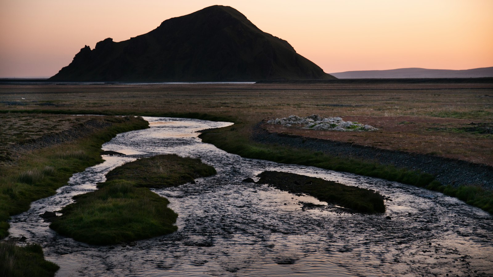
In the broad landscape of southern Iceland, the river Múlakvísl (pronounced [ˈmuːlaˌkʰvistl̥]) flows across the sands of Mýrdalssandur. This river is not only defined by its glacial origin but also by its volatile and sometimes unpredictable relationship with the volcanic system beneath nearby Mýrdalsjökull glacier.
The life of a glacial river
Múlakvísl is a glacier-fed river, drawing most of its water from Mýrdalsjökull, a sprawling ice cap in the south. Specifically, much of its meltwater seeps from the Kötlujökull glacier tongue. When the water reaches the riverbed, it is heavy with sediment, giving the river a characteristic grey-brown hue. These fine particles are carried under the pressure and grinding force of the moving glacier above. The river courses east of the village Vík í Mýrdal, where Iceland’s main coastal road, the Ring Road, crosses Múlakvísl over a bridge near Selfjall, about 10 kilometres from the village.
A natural early warning system
The story of Múlakvísl is deeply linked to the Katla volcano that sleeps under the Mýrdalsjökull. The river’s water level offers a rare and vital clue to what is happening beneath the ice. When volcanic activity stirs under Katla, heat melts parts of the glacier, sending surges of water, called jökulhlaup, or glacial outburst floods, roaring down Múlakvísl. Because of this, the river is closely monitored as an early warning of possible eruptions.
Jökulhlaups have shaped the lives of people in the area. In 1955, a powerful surge destroyed the bridge over Múlakvísl after 2,500 cubic metres of water per second rushed through, triggered by geothermal melting beneath the glacier. The link to past volcanic activity was clear: a kettle and a fissure had recently appeared on the glacier, warning signs that an eruption could be brewing.
Again in July 2011, tremors deep in the Katla region preceded another jökulhlaup. This time, the Ring Road bridge, only 20 years old, was washed away. Fortunately, a monitoring system issued advance warnings, closing the bridge and surrounding areas in time to keep people safe. In the days that followed, special vehicles were used to move over a thousand people, and a temporary bridge was operating within a week.
For the communities along its banks and travellers on the Ring Road, Múlakvísl is more than just a river. It acts as both a conveyor of glacial energy and a living gauge of the volcanic forces beneath Iceland’s shifting surface.
Sources
- Wikipedia
- Wikipedia (Icelandic) in Icelandic


