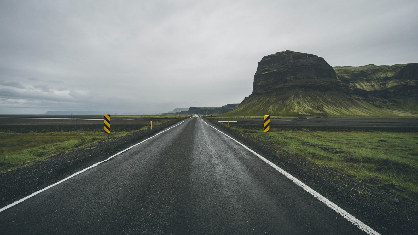
Route 1, known locally as Þjóðvegur 1 or Hringvegur, is the main national road encircling almost the entire Icelandic mainland. Since its completion in 1974, this 1,309-kilometre ring has served as the backbone of road travel and freight movement in Iceland, uniting towns in the most populated corners and enabling a new era of social and economic connection.
A road built for all of Iceland
Before Route 1, journeys between settlements could be time-consuming and indirect, sometimes requiring lengthy detours north through places like Akureyri to access distant southern towns. The construction of the Skeiðará bridge in 1974 removed the last major obstacle, finally giving uninterrupted passage around the island. This major milestone also coincided with the 1,100th anniversary of Iceland’s settlement, and was celebrated as a modern achievement.
The Ring Road’s impact on daily life in Iceland has been significant. For families, it made holiday trips practical and popular, inspiring both local vacations and later the growing interest of foreign visitors. Many of the country’s most visited nature sites, including waterfalls such as Seljalandsfoss and Skógafoss in the south, the dramatic Dyrhólaey cliffs, the glacier lagoon at Jökulsárlón, and iconic northern sights like Lake Mývatn, Dettifoss and Goðafoss, are now within straightforward reach of this national artery.
Highways, hazards and the changing road
Route 1 is nearly all paved and typically two lanes wide, with wider, barrier-divided sections around Reykjavík and in the populous southwest. While largely modern, it still reflects its piecemeal construction: there are 26 single-lane bridges remaining (down from around 140 in 1990), some built originally in wood or steel. These bridges, mostly in the rural east and across glacial plains, require careful negotiation, only the first vehicle has right of way.
Travel on the Ring Road is shaped by Iceland’s fierce climate and dramatic landscape. Mountain passes such as Hellisheiði and Öxnadalsheiði have steep gradients and can be closed by snow in winter. The Icelandic Road Administration, Vegagerðin, maintains the road as its top winter-priority route, monitoring conditions around the clock. Since the opening of the Vaðlaheiðargöng tunnel near Akureyri and several other realignments, winter closures have become less common.
Despite natural threats like glacial floods, most famously on the southern Skeiðarársandur plain, Route 1 remains a lifeline. Bridges and sections of road are sometimes rebuilt following damage from floods triggered by volcanic eruptions, as in 2010 during the Eyjafjallajökull eruption, but safety systems and advance warnings protect regular traffic.
The road’s strategic importance extends to modern technology as well. Charging stations for electric vehicles line the route, spaced roughly every 50 to 80 kilometres, ensuring that even as transportation evolves, Route 1 remains at the heart of Icelandic life.
Sources
- Wikipedia
- Wikipedia (Icelandic) in Icelandic


