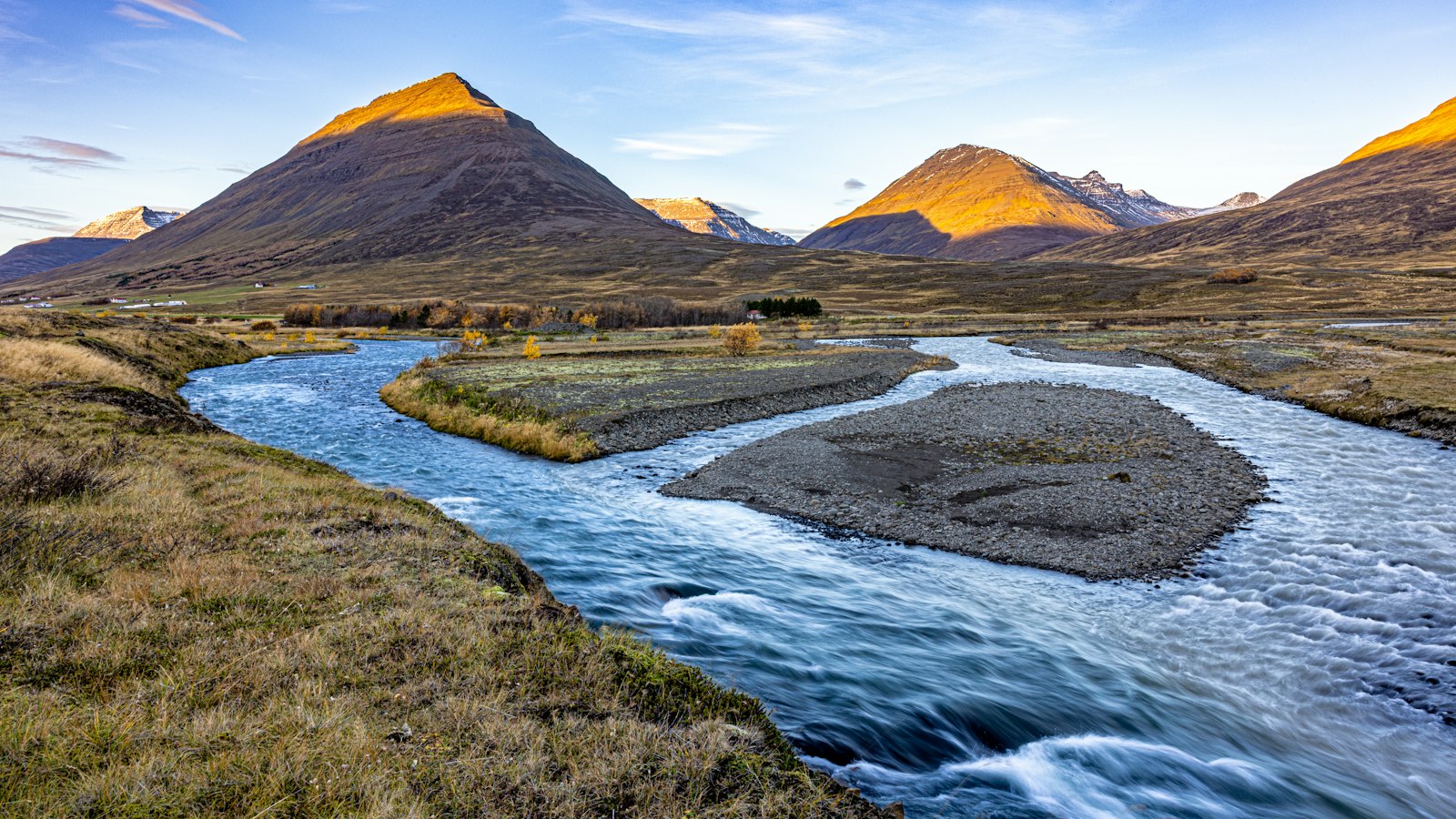
In northern Iceland’s Skagafjörður region, the Kolka river weaves a story of glaciers, fast waters and human adaptation. Known formally as Kolbeinsdalsá and once called Kolbeinsá, this river takes its name from Kolbeinn’s valley. Its origins lie in the Tungnahryggsjökull glacier, lending the upper waters a distinctive, opaque glacial hue.
A braided river with two branches
Near its source, the river divides into two branches above the Tungnahryggur ridge. The eastern stream is known as Kolka, while the western is Tungnahryggsá. Locals sometimes call them Austurá (East River) and Vesturá (West River). Both branches flow for a time in parallel, tracing a northward path along the Kolbeinsdalur valley and onward beside Óslandshlíð until they reach the sea at Kolkuós.
Further north, the Hjaltadalsá river meets Kolka near the farm Þúfur, and from that point the combined flow continues under the name Kolka. While each branch features turbulent sections, at times making bridge construction a significant challenge, these same traits make parts of the river suitable for white-water rafting during high water.
Fishing, farming and power
Kolka’s waters have long attracted those interested in fishing. The river offers productive trout fishing, especially sea trout, even more so than the neighbouring Hjaltadalsá. However, a dam near Sleitustaðir constrains fish migration upstream, with many fish congregating just below it and resident brown trout above. Efforts to introduce salmon have shown limited success, though the river is not primarily known for salmon fishing. Fishing rights are managed by the Reykjavík Angling Association, which also sells licenses.
Life along the riverbanks centres around small settlements including Sleitustaðir, sometimes referred to as Sleitu-Bjarnarstaðir, named for the early settler Sleitu-Björn Hróarsson. The community consists of houses, a garage, a petrol station and a small shop. A bus operation once served the region from here, enjoying exclusive rights to operate on the Siglufjarðar road.
In 1985, a privately-owned hydroelectric power station began operating in Kolka near Sleitustaðir. The Sleitustaðavirkjun plant produces 200 kilowatts and supplies energy to the RARIK distribution network. The region’s interaction with the river shows how Icelandic communities use local resources to support daily life.
The Kolka itself measures 32 kilometres in length, with a catchment area above the Sleitustaðir measuring point of 161 square kilometres, expanding to 177 square kilometres including all inflows, and up to 483 square kilometres when the Hjaltadalsá is included. Major tributaries join from both east and west, including Heljará, Skíðadalsá and Ingjaldsá to the east, and Tungnahryggsá and Lambá to the west.
Sources
- Wikipedia
- Wikipedia (Icelandic) in Icelandic


