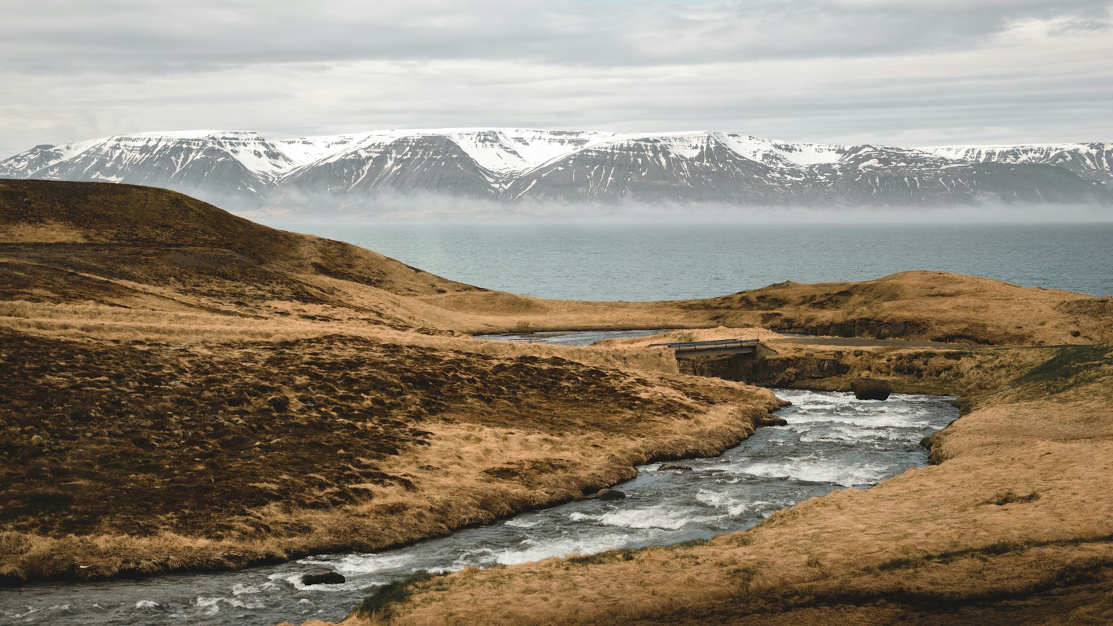
Kolbeinsdalur sits quietly on the eastern side of Skagafjörður, a broad bay in northern Iceland. Looking at a map, it stretches eastward, running alongside Hjaltadalur, separated by a ridge known locally as Ásinn, or simply “the ridge.” While Hjaltadalur curves south near the historical bishop’s seat at Hólar, Kolbeinsdalur continues its eastward course, shaping a land of valleys, ridges and long-used routes through the north.
The origins of Kolbeinsdalur’s name reach back to the first settlers: it is said to honour Kolbeinn Sigmundarson, while the outer part of the valley remembers another early inhabitant, Sleitu-Björn Hróarsson. The property at Sleitustaðir, sometimes called Sleitu-Bjarnarstaðir, still bears his name.
A valley shaped by passage and settlement
Kolbeinsdalsá, also called Kolka, runs the length of the valley floor, watering land that was once home to a collection of scattered farms. Today, Kolbeinsdalur is mostly deserted, but remnants of its past are visible in ruins and still-lived summer homes. On the western side of the valley were the farms Unastaðir and Fjall, the latter now occasionally hosting hunters. The eastern slopes saw habitation at Bygghóll, Syðri-Heljará, Bjarnastaðasel, Bjarnastaðir, Skriðiuland, Saurbær and Sviðningur, the last falling empty after an avalanche in 1925. Smiðsgerði and Sleitustaðir, especially, see some summer activity or contain clusters of houses, echoes of a more populated era.
Where the valley splits near the Tungnahryggur ridge, two paths emerge, often called Austurdalur and Vesturdalur, or east and west valleys. Above, the Tungnahryggsjökull glacier sends cold air into the valley, and a cabin called Tungnahryggsskál stands since 1982, offering basic shelter. Kolbeinsdalur’s interior, once pastureland attached to the rich church properties of Hólar, saw sheep round-ups organised into zones based on the landscape’s ridges and sub-valleys. Evidence of traditional rural life lingers in the old stone paddock in the Heljará river, built for gathering sheep and surviving into the twentieth century.
Passageways, legends and changing habitation
Kolbeinsdalur’s geography invited movement between regions. Long before Iceland’s highways, tracks over Heljardalsheiði connected Svarfaðardalur to Eyjafjörður, while routes such as Hákambar led to Ólafsfjörður. The gravel road through the hollow called Hálsgróf (or simply Grófin, “the hollow”) links Kolbeinsdalur to neighbouring Fjall.
Side valleys bring their own character. Heljardalur, literally meaning “death valley,” gained fame in local folklore for a harsh episode: it is believed many in the company of Bishop Guðmundur góði Arason of Hólar died there from exposure to the elements. Such stories punctuate the quiet beauty of the region, hinting at both hardship and human resilience.
Today, Kolbeinsdalur stands as a reflection of shifting patterns in Icelandic rural life. Its quiet farms, old paths and hidden ruins tell the intertwined story of landscape, weather, and the enduring efforts of those who once shaped daily life here.
Sources
- Wikipedia
- Wikipedia (Icelandic) in Icelandic


