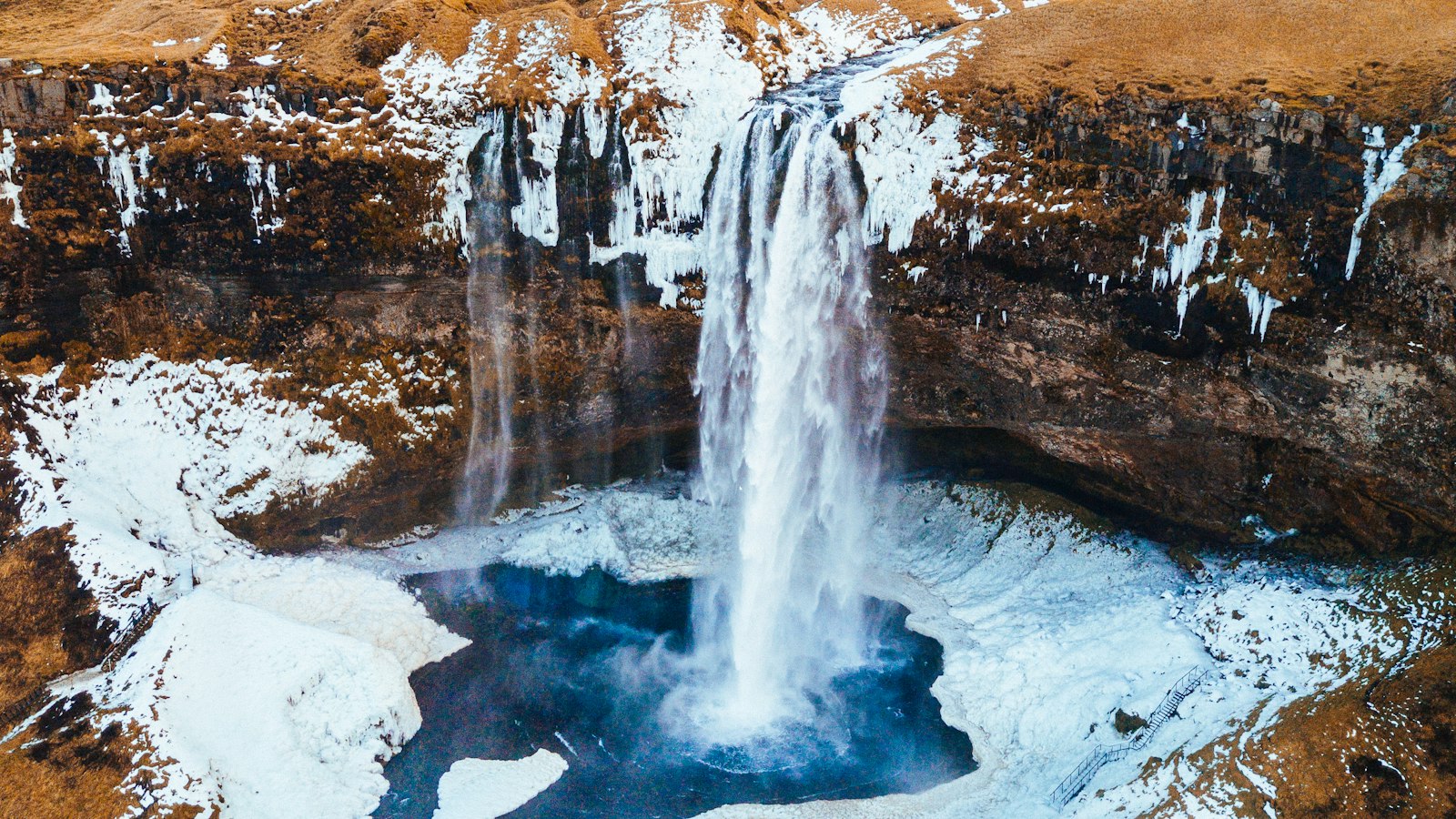
Few places in the world host as many waterfalls as Iceland. Scattered across the island’s highlands, lowlands and fjords, these cascades reflect the remarkable interplay of climate, geology and glacial melt unique to this Nordic nation. Here, where the Mid-Atlantic Ridge divides Europe from North America and the North Atlantic meets the Arctic, waterfalls shape both the landscape and the national imagination.
Glaciers, rain and the making of waterfalls
Iceland’s geography places it just south of the Arctic Circle. Storms from the surrounding oceans bring frequent rain and snow. More than a dozen large glaciers cover Iceland, collecting snow in winter and shedding water in summer. Meltwater rushes down rivers, meeting volcanic plateaus and steep mountain ridges. Waterfalls follow as an inevitable result, and Icelandic rivers drop over cliffs, through gorges, and across ancient lava fields.
Today, estimates suggest the country holds more than 10,000 waterfalls, from secluded mossy trickles to thundering torrents. The Icelandic language calls a waterfall a “foss” (plural: “fossar”), and the word appears as a fixture on maps, road signs and in local speech.
Waterfalls from north to south
Several waterfalls have become landmarks for their power or history. Dettifoss in the north is regarded as the country’s most powerful, its roar echoing through the surrounding canyons. Nearby, Goðafoss and Aldeyjarfoss drop into dramatic rock basins carved by millennia of water and ice.
In the south, the river Tungufljót carries Faxi (sometimes called Vatnsleysufoss), while the famed Gullfoss, or “Golden Falls,” plunges through a stepped gorge. Skógafoss, often translated as “Forest Falls,” drops straight from a former coastal cliff, while Seljalandsfoss is known for a cavern behind the curtain of water. The national park of Þingvellir hosts Öxarárfoss, and the now-tallest known Icelandic waterfall, Morsárfoss, reaches 228 metres, a product of glacier retreat in recent decades.
Further west, the high Glymur waterfall (formerly the tallest at 198 metres) sends water cascading into a deep canyon in Hvalfjörður. The lava fields of the west also hold Hraunfossar (the Lava Falls), where clear water pours from beneath ancient lava. Close by, Barnafossar, or the Children’s Falls, is steeped in legend.
In the remote Westfjords, Dynjandi (also called Fjallfoss) fans out in a wide, bridal-veil shape over the mountains. The east of Iceland has its own icons like Hengifoss, framed by vivid rock layers, with Litlanesfoss marked by striking columnar basalt. In narrow fjords, Gufufoss and the sequence of Klifbrekkufossar make up the signature scenery.
Each waterfall reveals a different aspect of Iceland’s landscape, from glacial valleys and dark lava to birch woods and isolated fjords. They are tangible reminders of the moving water and shifting earth that continue to shape the island today.


