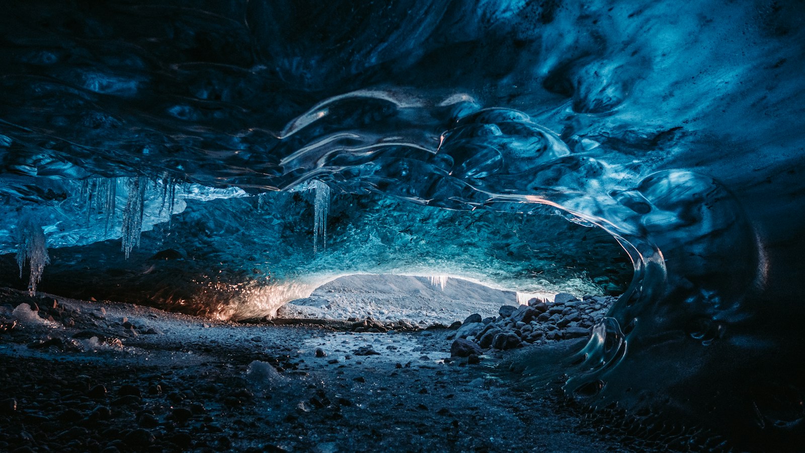
Deep below the southern reaches of the Vatnajökull glacier, Iceland’s largest ice cap, lies a lesser-known but significant volcano called Þórðarhyrna. Its summit, sitting at roughly 1,650 metres above sea level, is usually only visible where the ice is thinner or absent, as much of the volcano is concealed beneath 100–600 metres of glacial ice. Þórðarhyrna is one of seven volcanoes lodged beneath Vatnajökull’s ice.
Pairs and patterns: Þórðarhyrna and Grímsvötn
Geologically, Þórðarhyrna forms a paired system with Grímsvötn, another active subglacial volcano to the northeast. Both are considered part of the same larger volcanic complex, known as the Grímsvötn-Laki system, and share fissure swarms stretching to the south. The two volcanoes, although separated by kilometres of thick ice, interact both mechanically and chemically. Their shared fissure systems have played a major role in shaping Iceland’s landscape. Lava from linked eruptions can flow out in vast quantities, as evidenced by the historical outpourings in the region.
The area where Þórðarhyrna sits is framed by outlet glaciers, including Síðujökull to the southwest and Djúpárjökull and Grænalónsjökull to the southeast and east, respectively. The north-eastern neighbour is Hamarinn, another central volcano in the wider Bárðarbunga system. An ice ridge called Háabunga, peaking at 1,742 metres, connects Þórðarhyrna with Grímsvötn, while the volcano’s eastern side hosts a high, ice-free hill known as Pálsfjall.
Eruptive history and subglacial hazards
Despite its status as an active volcano, confirmed historical eruptions of Þórðarhyrna have been rare. The last certain eruption took place on 28 May 1903, rated as a VEI 4 event and lasting sporadically for about seven and a half months as part of a dual activity period involving both Þórðarhyrna and Grímsvötn. Ashfall from this eruption reached as far as Reykjavík, and farm animals in east Iceland suffered effects from volcanic gases, notably fluorine poisoning in sheep. Another eruption likely occurred in 1753, which triggered significant glacial floods (jökulhlaups) to the south-west. Evidence of older and much larger outpourings comes from a prehistoric eruption around 3550 BC, which released 150 million cubic metres of lava into the area now called Bergvatnsárhraun.
The region’s geology is defined by two major fissure systems: the 25-kilometre-long Grímsvötn-Laki fissure and the 30-kilometre-long Rauðhólar-Eldgígur fissure. These structures underlie some of Iceland’s most dynamic volcanic activity, including events such as the 1783 eruption of Laki, considered one of the largest in the island’s history.
Samples from Þórðarhyrna primarily consist of tholeiitic basalt, but rocks exposed by ice-free nunataks near Pálsfjall also show basaltic andesite, dacite and rhyolite, indicating evolving magma types. The presence of a geothermal area near Pálsfjall hints at persistent heat beneath the ice.
Sources
- Wikipedia
- Wikipedia (Icelandic) in Icelandic


