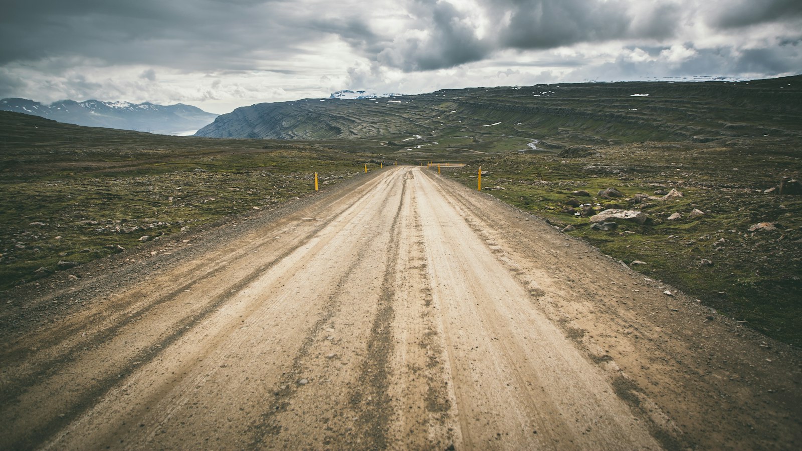
In the stark expanse of the Ódáðahraun lava field, far north of Vatnajökull glacier, Trölladyngja stands as Iceland’s largest shield volcano. Its broad profile rises 1,460 metres above sea level, making it one of the highest summits in the region and lifting it around 600 metres above the surrounding desert and lava-scape.
Trölladyngja stretches nearly 10 kilometres in diameter, its massive flanks shaped by countless lava flows. The gentle incline of the lower slopes, measuring roughly 4 to 5 degrees, steepens to about 6 to 8 degrees higher up. At the summit lies an elongated crater, roughly 1,200 to 1,500 metres long, about 500 metres wide, and approximately 100 metres deep, a clear mark of the volcano’s monumental eruptions over millennia.
A landscape written in lava
Most of the lava spreading from Trölladyngja flows northwards, with one ancient eruption reaching all the way to Bárðardalur valley, close to Iceland’s northern coastline, a distance of about 100 kilometres. Altogether, the volume of basaltic lava produced by Trölladyngja is estimated at 15 cubic kilometres.
Trölladyngja is linked with the Bárðarbunga volcanic system, which controls much of the region’s volcanic activity. Most of the lavas date to less than 4,500 years ago, covering still older flows of about 8,000 years in age. Scientific studies have distinguished the volcanic deposits of Trölladyngja and its association with the Bárðarbunga system from lavas created by other eruptions in the area, including those from older or more recent Bárðarbunga events.
Geological identity
The volcano occupies a place north of the 64.7° latitude line, where the orientation of fissure swarms, ruptures formed over the past 10 million years and as recently as the 2014 Bárðarbunga dyke intrusion, define the northern volcanic zone. Meanwhile, Bárðarbunga’s central volcano to the south lies within the eastern zone, illustrating the complex structure of Iceland’s subterranean geology.
Historical records once blurred the identity of Trölladyngja, at times using its name when referring to completely different volcanoes like Askja. This confusion was cleared only in the last century, and Trölladyngja is now firmly recognised as part of the Bárðarbunga system.
The first recorded ascent of Trölladyngja occurred on July 18th, 1875. William Lord Watts, a British explorer known for his journeys across Vatnajökull, and Þorlákur Jónsson, a farmer from Grænavatn in Mývatnssveit, reached the summit together. Their journey marked the beginning of documented encounters with one of Iceland’s most significant geological features.
Sources
- Wikipedia
- Wikipedia (Icelandic) in Icelandic


