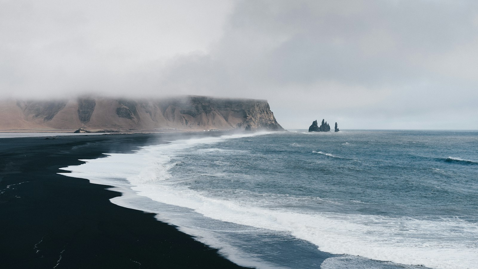
Hjörleifshöfði rises 221 metres above the flat black outwash plains of southern Iceland, a lone mountain formed of volcanic palagonite. Today it sits slightly inland, surrounded by broad stretches of Mýrdalssandur. Yet its story begins as an island in the North Atlantic, long before the landscape was reshaped by sand, water and fire.
A legacy of settlement and saga
The name Hjörleifshöfði marks the memory of one of Iceland’s first settlers. According to the medieval Landnámabók, the inselberg is named for Hjörleifr Hróðmarsson, the foster-brother of Ingólfur Arnarson, widely regarded as Iceland’s first official settler. Hjörleifr established a farm here toward the end of the ninth century, but his time was cut short when he was killed by his slaves. The slaves fled to the Westman Islands (Vestmannaeyjar), pursued by Ingólfur, who avenged his companion. The top of the mountain holds a burial mound known as Hjörleifshaugur, believed by tradition to be Hjörleifr’s grave.
Land, lava and shifting seashores
Hjörleifshöfði’s geology reveals a restless past. The mountain formed under volcanic conditions, either beneath ice or sea. What began as an island later became connected to the mainland as the fjord beside it filled in with sand and gravel. These changes were brought on by frequent jökulhlaups, sudden glacial floods triggered by eruptions from Katla volcano beneath the Mýrdalsjökull ice cap. By the 14th century, the surrounding fjord had disappeared, and the sea began yielding ground to land.
Even in modern times, nature continues its work. The Katla eruption of 1918 built a sand and gravel spit called Kötlutangi, extending Iceland’s landmass so far south that it temporarily became the country’s southernmost point. Subsequent coastal erosion, however, returned this distinction to the Dyrhólaey peninsula, though Kötlutangi still juts hundreds of metres beyond it.
Human life on Hjörleifshöfði persisted for over a thousand years. The farm established in the 800s survived through eruptions and floods, sustaining itself by seabird hunting and egg gathering. After the catastrophic Katla jökulhlaups of the 18th century, the homestead was moved higher up the mountain for safety. People lived at Hjörleifshöfði until 1936.
Alongside its dramatic history and geology, Hjörleifshöfði has taken an unexpected place in popular culture. A small lava cave at its base, Gígjagjá, is nicknamed “Yoda Cave” as the shape of its entrance recalls the head of the Star Wars character. The area provided a location for the Star Wars film Rogue One, as well as for Icelandic musician Björk’s music video Who Is It and the film The Odyssey by Christopher Nolan.
Sources
- Wikipedia
- Wikipedia (Icelandic) in Icelandic


