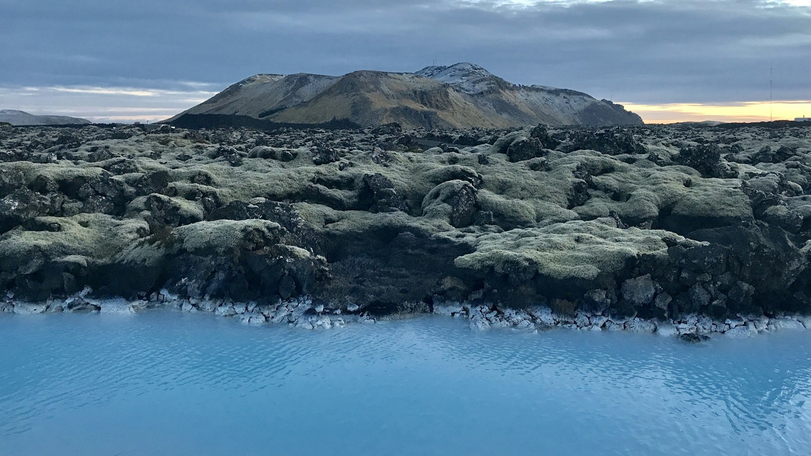
Rising up to almost 400 metres in southwest Iceland, Sveifluháls cuts a striking line across the Reykjanes Peninsula. Known in Icelandic as a “hylaoclastite ridge,” this long, narrow formation is much more than a simple mountain. Its dramatic geology records a story of fire and ice that continues to shape the land today.
A landscape sculpted by ancient eruptions
Sveifluháls sits between the lake Kleifarvatn and the valley called Móhálsadalur. It is part of the Krýsuvík volcanic system and lies within the protected Reykjanes Fólkvangur area. The ridge runs for around 22 kilometres as a “tindar complex”, a type of volcanic ridge produced by repeated eruptions under thick glaciers during the last Ice Age.
During its formation, eruptions began beneath glaciers up to 600 metres deep between 42,000 and 12,400 years ago. Vast quantities of meltwater pooled under the ice, forming lakes within which volcanic ash and lava settled, creating layers of pillow lavas and hyaloclastite (glassy volcanic fragments from water-magma interaction). Over time, eruptions along roughly 60 parallel fissures produced tuff cones and elongated ridges, their shapes moulded by the interplay of eruption, ice and water.
As the ice retreated or oversteepened around these growing volcanoes, volcanic cones sometimes merged. These processes created meltwater catchments between ridges, with some holding up to 15 million cubic metres of water. In some parts, the overlying meltwater drained and produced lava flows at the surface, evidence of a “tuya” (a distinctive flat-topped volcano formed when lava erupts through a glacier or ice cap).
Geothermal activity and distinct geology
The landscape is still alive. At Sveifluháls, active geothermal fields stand out, especially at Seltún and above the old Krýsuvík farm at Hveradalir (“valley of hot springs”). These zones display steaming fumaroles, bubbling mud pots and hot springs, and at Seltún, the thermal output has been measured at about 4 megawatts. Such conditions lead to vivid mineral deposits, including iron oxides like hematite and goethite, as well as sulphur compounds, lending patches of colour to the slopes.
Sveifluháls is also split into two parallel ridges separated by a 500-metre-wide valley. Locals sometimes refer to the main ridge as Austurháls (“East Ridge”) while its neighbour, across the valley, is known as Núpshlíðarháls or Vesturháls (“West Ridge”). The highest points along Sveifluháls include Stapatindur (395 m), Hellutindar (364 m) and Miðdegishnúkar.
The mountain foot is easily identifiable from the road, as Iceland’s Route 42 passes between Sveifluháls and Kleifarvatn lake. The proximity of dramatic geology and geothermal fields has made the area one of scientific and popular interest alike.
Sources
- Wikipedia
- Wikipedia (Icelandic) in Icelandic


