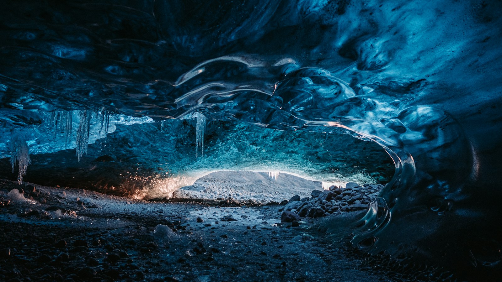
On the stark northern boundary of Iceland’s Vatnajökull glacier, the Kverkfjöll volcanic system rises sharply, its summit, Skarphéðinstindur, reaching 1,933 metres above sea level. This mountain range is not only geologically active but also reveals some of the country’s most intriguing intersections of glacier, geothermal energy and volcanic activity.
A landscape forged by glaciers and magma
Kverkfjöll is defined by its place at the edge of Vatnajökull, set in a region marked by ice caps, outlet glaciers and extensive fissure swarms. The system itself is situated below Kverkjökull, a glacier that is part of Vatnajökull’s vast icefield, with Dyngjujökull glacier to its west and Skarphéðinsjökull and Brúarjökull to the east. The volcanic fissure swarms associated with Kverkfjöll stretch for up to 130 kilometres north, their shape and direction sculpted by the gradual movement of tectonic plates and the pressure of underlying magma chambers.
Past eruptions and the regular flooding events known as jökulhlaups have fiercely shaped the landscape north of Kverkfjöll. These catastrophic floods, triggered when volcanic heat melts sections of the glacier, have been recorded repeatedly during the Holocene period. The precise source of each jökulhlaup can be difficult to identify due to the proximity of three large volcanic systems in the region: Kverkfjöll, Bárðarbunga and Grímsvötn.
The river Jökulsá á Fjöllum, one of Iceland’s major glacial rivers, carries meltwater from the Kverkfjöll area, primarily sourced from the Kverkjökull glacier. Other rivers, such as the thermally altered Volga and Hveragil, drain directly from geothermal fields located near the volcano’s calderas, often beneath ice-dammed lakes like Gengissig and Galtarlón.
Layers of geological time and volcanic history
Kverkfjöll is a central volcano classed as a stratovolcano, built primarily of tholeiite basalt but with evidence of eruptions involving more silicic magmas. Rock samples collected from the area include some as old as 780,000 years. Geological studies reveal a deep and complex structure, with the mantle lying about 40 kilometres beneath, and magma reservoirs as close as 10 kilometres under the surface. The hydrothermal system, responsible for local geothermal features, draws its energy from intrusions just 3 kilometres deep, heating water for reservoirs closer to 2 kilometres down.
The volcano has marked its presence repeatedly over the past 6,500 years, with up to seventy eruptions identified from tephra layers, although only a fraction have occurred in the last thousand years. The most recent eruption on land, about 1,300 years ago, created a lava field covering roughly 20 square kilometres. Hydrothermal eruptions and jökulhlaups continue to occur, such as the 2013 flood that dramatically emptied the Gengissig depression. This interplay of heat and ice continues to shape the high, remote terrain of the Kverkfjöll area.
Sources
- Wikipedia
- Wikipedia (Icelandic) in Icelandic


