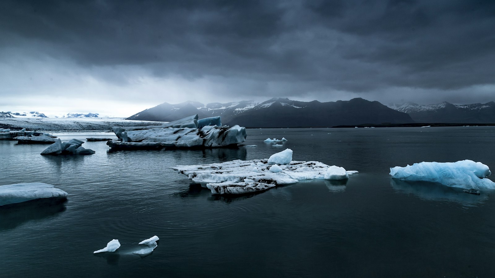
Where the southern edge of the vast Vatnajökull glacier meets sweeping black sands, a single massif rises above all others. Öræfajökull, translating as the “wasteland glacier,” towers as the highest point in Iceland while concealing the country’s largest active volcano beneath its ice cap.
A landscape formed by ice and fire
Öræfajökull’s summit, known as Hvannadalshnúkur, reaches 2,110 metres (6,920 feet), making it the highest peak in Iceland. The volcano’s caldera spans three by four kilometres and sits as the southernmost of the country’s volcanic giants. The mountain itself is cloaked in the Öræfajökull glacier, forming part of the greater Vatnajökull, a glacial shield covering much of southeast Iceland and a key feature of Vatnajökull National Park.
From the main ice cap, a host of outlet glaciers flow downwards, carving valleys along the flanks of the volcano. These include Breiðamerkurjökull, Fjallsjökull, Hrútárjökull, Svínafellsjökull, and Skaftafellsjökull, among others, with some draining independently into local river systems. The glacier’s reach shapes the ecosystem well beyond the immediate foot of the volcano, as meltwater delivers nourishment to the outwash plains below.
Volcanic history that remade the land
Öræfajökull has a dramatic eruptive past. In 1362, when it was known as Knappafellsjökull, it produced one of Iceland’s most violent eruptions. The volcano ejected an estimated 10 cubic kilometres of tephra, volcanic ash and fragments, in an event so powerful that ash travelled as far as western Europe. The eruption devastated the prosperous Litlahérað district, destroying forty farms and sending floods and pyroclastic flows across the region. Accounts from sailors describe huge rafts of pumice making navigation near impossible. The scale of destruction led to the entire district being abandoned for over four decades, and the environment, transformed into a wasteland, gave the glacier its current name.
A second, smaller eruption occurred in 1727–1728, resulting in the deaths of three people when a flood swept away a farm. Catastrophic floods, known as jökulhlaup, have often accompanied Öræfajökull’s eruptions, caused by hot volcanic material rapidly melting the overlying ice and sending torrents down the valleys.
Although quieter in recent centuries, the volcano continues to draw scientific attention. Minor earthquakes and increased geothermal activity beneath the ice cap were observed in 2017 and 2018, prompting temporary changes in aviation alerts as experts monitored for signs of renewed unrest.
Even without eruption, the mountain’s landscape is dynamic. In 2013, a massive landslide, caused by paraglacial slope collapse, left a trail of rock and debris across Svínafellsjökull, one of the outlet glaciers.
Today, Öræfajökull is not just a physical high point but a marker of Iceland’s geological extremes, where the stark forces of volcanic eruption and glacial movement continuously reshape the very ground.
Sources
- Wikipedia
- Wikipedia (Icelandic) in Icelandic


