Iceland holds a remarkable place among the world’s islands. It sits almost alone as a large landmass, over 102,000 square kilometres, in the midst of the North Atlantic. What truly makes Iceland unusual is not just where it is, but what is happening beneath its surface.
Where two continents drift apart
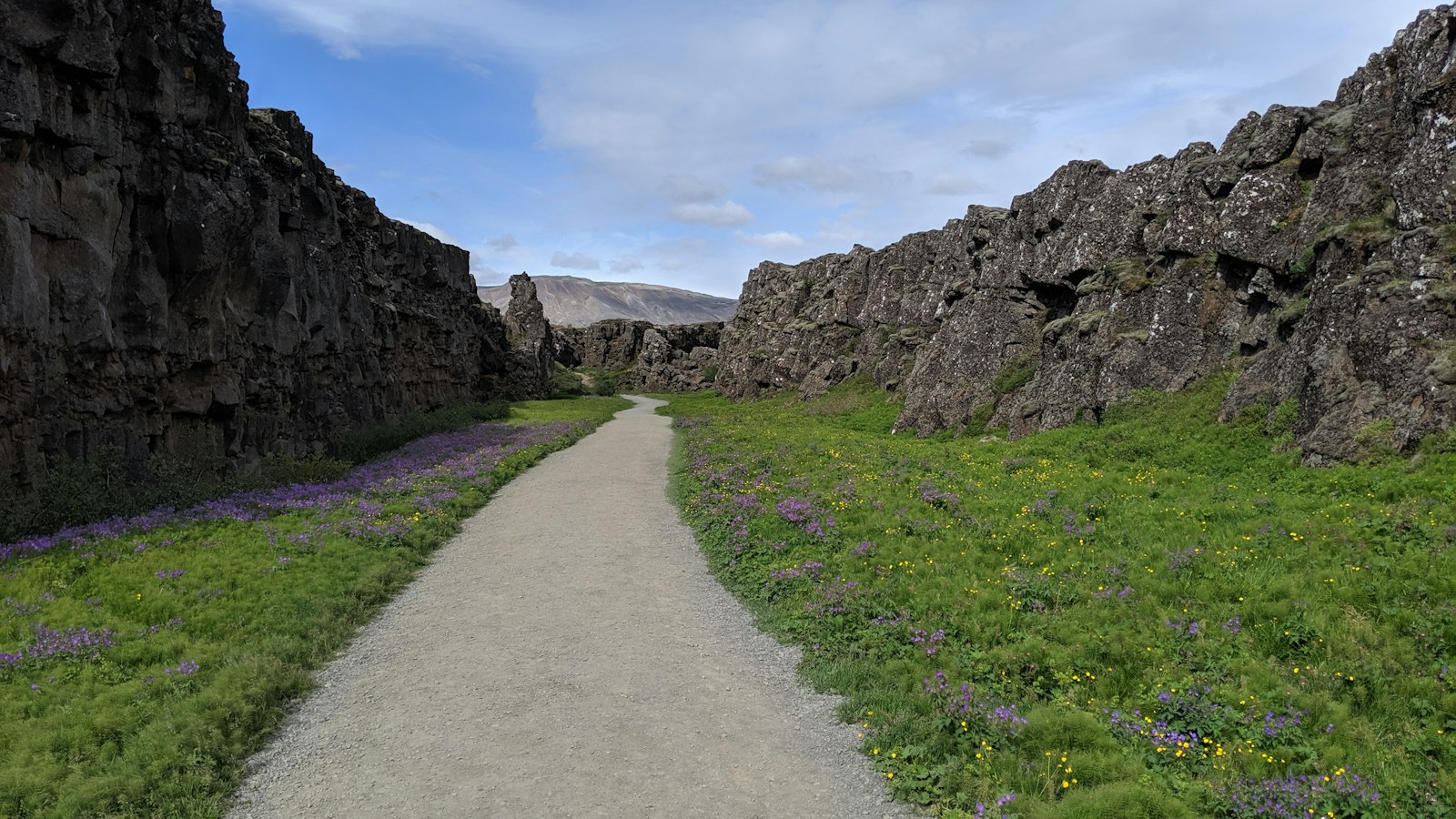
The country stands where the North American and Eurasian tectonic plates meet, and this boundary runs directly across Iceland. The result is a dynamism seldom seen elsewhere. The land is quite literally splitting, as the two plates pull apart. At the southwestern end, the Reykjanes Ridge rises out of the Atlantic and marches across the island, connecting in the northeast to the Kolbeinsey Ridge. This plate movement makes Iceland the only place where the Mid-Atlantic Ridge is visible above sea level.
In Iceland’s western regions, the ground rides the edge of the North American Plate, while the east adheres to the Eurasian Plate. Over the last 25 million years, new rocks have steadily accumulated here as lava wells up along this rift. The land continues to grow, and nowhere is this as clear as under the massive Vatnajökull glacier, where volcanic activity is especially intense.
A land shaped by fractures and uplift
Central to the island’s geology is a plume of hot mantle that rises deep below. This extra heat helps make the crust below Iceland unusually thick compared to other stretches of the Mid-Atlantic boundary, at some points reaching up to 40 kilometres. The result is a raised plateau, much higher than oceanic crust elsewhere.
Linear volcanic fissures, swarms of cracks, and zigzagging fault patterns crisscross the island. These formations are not random, but develop along two major directions: one trends northeast, particularly in the south, and nearly north in the north; the other runs from west to northwest. The overall arrangement creates a fragmented appearance, filled with valleys, dikes, and steep cliff faces known as fault scarps.
Special regions of deformation occur where the strains of plate movement are strongest. In the north, the Tjörnes fracture zone (TFZ) spreads off the coast in the form of a roughly triangular area, linking volcanic zones inland with submarine rift systems. Here, earthquakes and crustal stretching are common, making the area seismically complex.
In southern Iceland, a relatively stable area called the Hreppar microplate sits between larger tectonic blocks. While volcanoes are absent in this slice, adjacent areas such as the South Iceland seismic zone (SISZ) experience regular earthquakes and shifting fault lines. These transform fault zones strike from west to northwest and show signs of “bookshelf faulting”, where rock segments rotate slightly as stresses are rapidly relieved.
Iceland’s geology is also influenced by its glacial history. As the great ice sheets have receded over the past millions of years, the land has slowly risen, a process called glacial isostatic adjustment, which continues today.
Every earthquake, volcanic eruption, and crack in the ground is a chapter in the story of Iceland’s relentless geological deformation, a vibrant record of an island still being written by tectonic processes.


