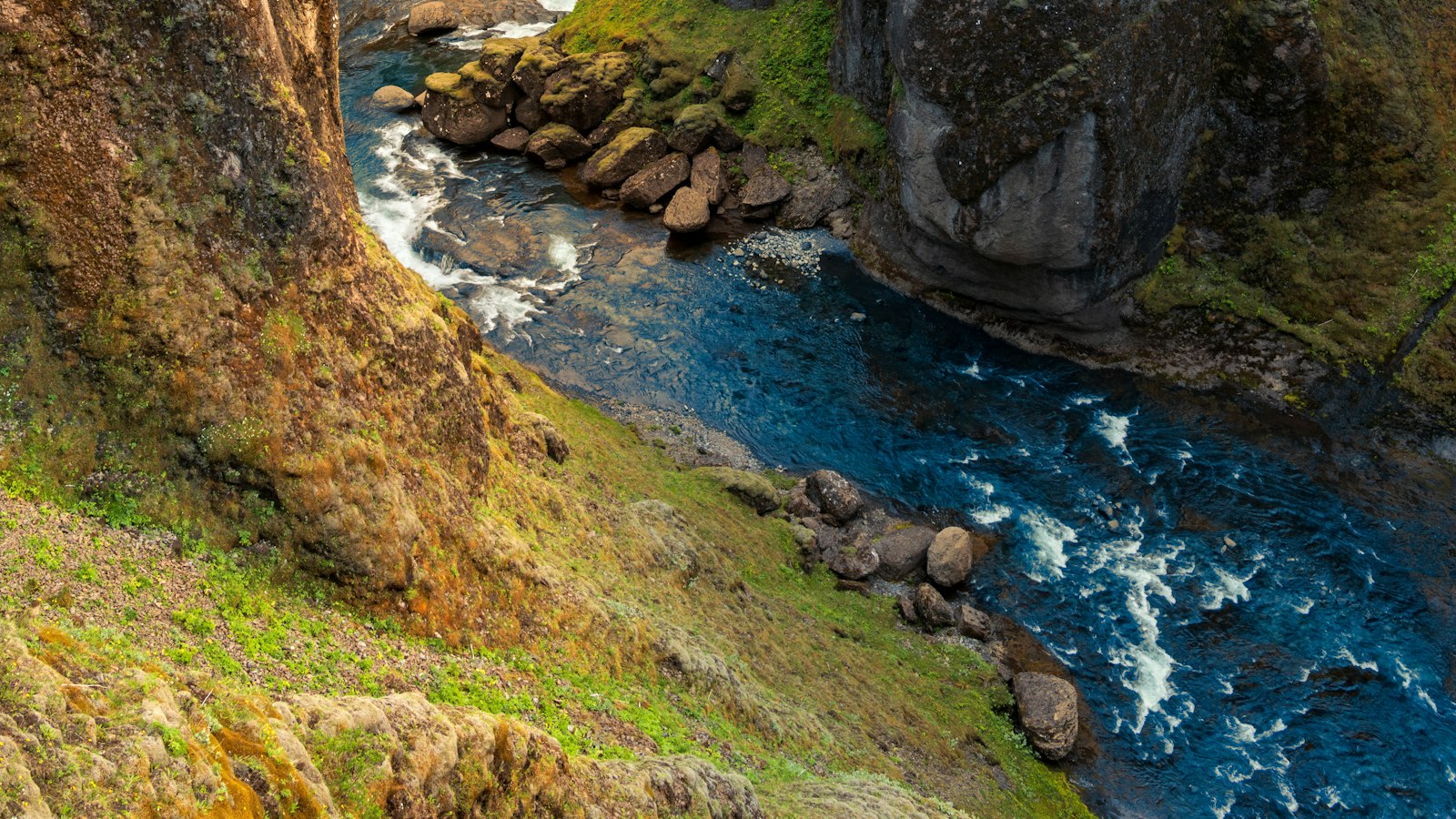
In the remote volcanic landscape of southern Iceland lies Eldgjá, a fissure whose name means “fire canyon.” This immense geological feature is part of the greater Katla volcanic system and stands as a silent witness to one of Earth’s most significant volcanic events in the last thousand years.
The scale and impact of the 939 eruption
Eldgjá forms a segment within a nearly 40 kilometres long chain of volcanic rifts and craters, running from the edges of the Vatnajökull ice cap southwest toward the Katla caldera under the Myrdalsjökull glacier. Around the year 939, this fissure roared to life in an eruption so vast it left approximately 780 square kilometres covered with basaltic lavas, reshaping valleys and altering regional hydrology. An estimated 18.6 cubic kilometres of lava emerged in two main waves, accompanied by explosive episodes whose volcanic plumes soared to the stratosphere.
The eruption did not simply alter the landscape, it reverberated across the climate of the Northern Hemisphere. Analysis of ice cores, historical records, and natural proxies reveal that winters became more severe and harvests failed as far afield as China, the Islamic world, and Europe following the event. Some suggest that elements of Icelandic settlement sagas may allude to people fleeing the oncoming lava.
A dramatic geological setting
Eldgjá is situated along the East Volcanic Zone, a region marked by long fissures rather than the large shield volcanoes seen elsewhere in Iceland. The fire canyon itself is a graben, a trench-like landform, 8.5 kilometres in length, about 600 metres wide and 150 metres deep in places. Striking geological features line the fissure, including fractured lava surfaces, pyroclastic cones with bands of red and grey debris, and spatter ramparts, some of which are fused together and resemble lava flows.
The eruption’s products are not easy to overlook. Vast fields of pahoehoe lava were funneled down rivers, eventually reaching the sea and cutting off historic flood channels from the Katla volcano. These flows also gave rise to rootless cones, such as the complex at Landbrotshólar, and buried evidence from previous eruptions. Over time, other eruptions, like Laki in the late 1700s, have partially obscured the original Eldgjá lava fields in some areas.
The volcanic action that forged Eldgjá appears to mark the beginning of a long-term cycle within the Katla magmatic system, whose effects can still be traced in the behaviour of nearby glaciers and ongoing ground deformation today.
Legacy and present-day importance
Modern scientific investigation began with naturalists like Þorvaldur Thoroddsen in the late 19th century, and today, Eldgjá lies within protected parklands. Its northern reaches, including Ófærufoss waterfall, now form part of Vatnajökull National Park and Katla Geopark, highlighting the region’s geological and natural importance.
Eldgjá remains a remarkable testament to the forces that shaped both Iceland’s landscape and, for a time, cooled the wider world. Its traces endure not only in the twisted lava fields and canyon walls, but also in historical records and legend far beyond Iceland’s shores.
Sources
- Wikipedia
- Wikipedia (Icelandic) in Icelandic


