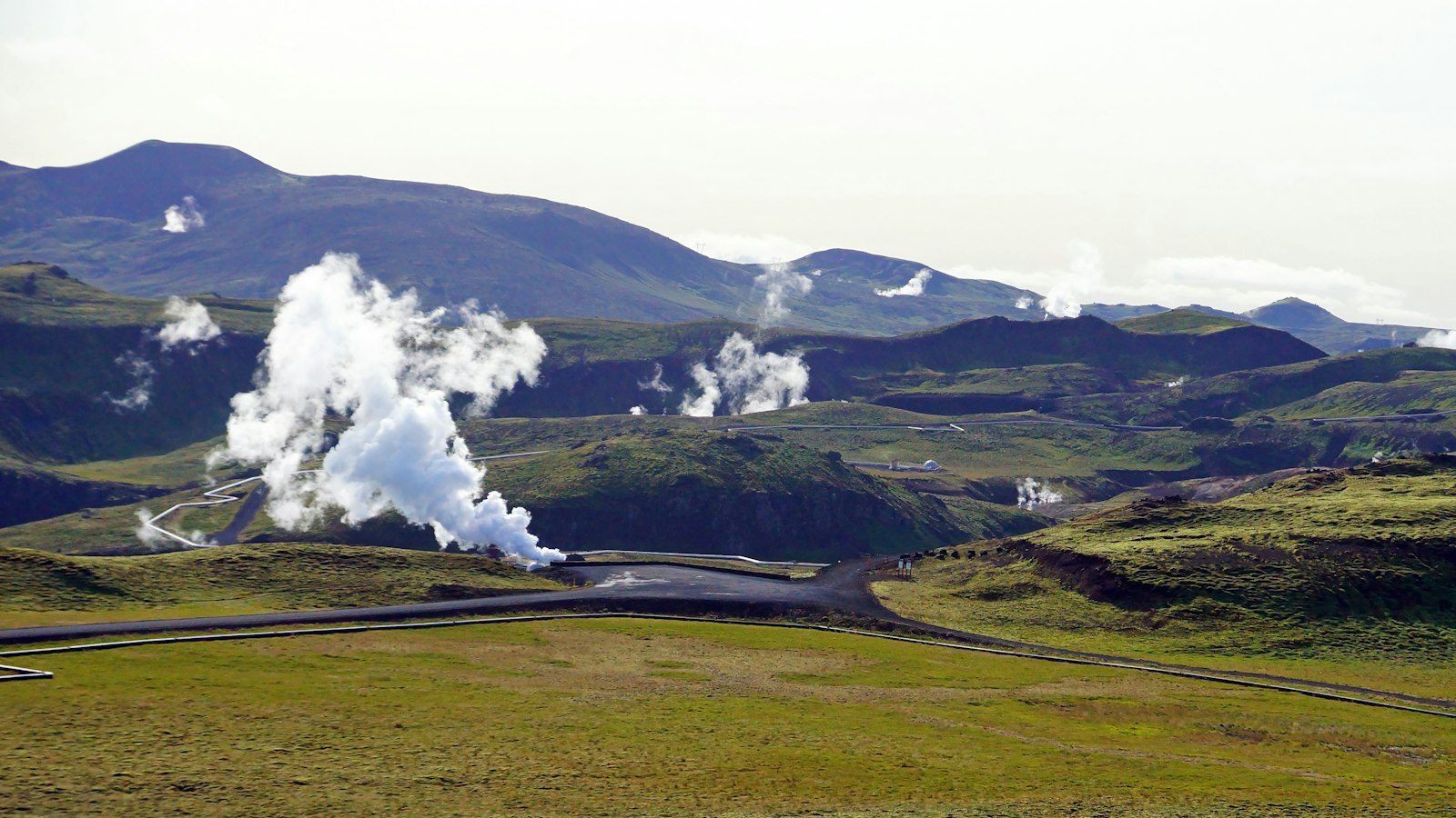
Few countries integrate earth sciences with daily life as deeply as Iceland. At the core of this relationship is Iceland GeoSurvey (Íslenskar orkurannsóknir, ÍSOR), a research institute that has shaped the way Iceland uses its unique natural resources. Based in Reykjavík, with an affiliate office in Akureyri in North Iceland, the institution plays a crucial role in both Icelandic society and the international geothermal sector.
A history of applied geoscience
Iceland’s interest in harnessing indigenous energy dates back to the eighteenth century. Systematic research efforts began officially in 1944, guided by Icelandic government institutes. The modern era of this work started in 2003, when Iceland GeoSurvey was founded as a self-financed governmental institute. It took over the duties of the GeoScience Division of the National Energy Authority (Orkustofnun), consolidating this legacy of scientific inquiry.
The staff of nearly 80 scientists and support personnel conduct basic and applied research, service projects, and consultancy for power companies, government agencies, and international partners. Their work underpins Iceland’s remarkable achievement: over half of the country’s primary energy usage now comes from geothermal sources.
Understanding and managing Iceland’s energy
Iceland GeoSurvey focuses on mapping, monitoring, and utilising geothermal and hydropower resources. Its teams explore geothermal sites, oversee drilling, develop models of geothermal systems, and assess technical and economic feasibility of new projects. This expertise ensures geothermal resources are managed sustainably, balancing power generation with minimal environmental impact.
Beyond energy, the institute surveys ground and surface water and evaluates the chemical and geological impacts of energy development. Researchers carry out environmental impact assessments, monitor pollution, and collect data on undeveloped resources. Marine geosciences also fall within their scope, including studies of the ocean floor and possible oil and gas opportunities.
The institution provides geological mapping, geodetic surveys, and even technical advice for major civil engineering works such as tunnels, which require careful consideration due to Iceland’s active geology. Data and analysis from Iceland GeoSurvey feed directly into national policies for resource management, environmental protection, and infrastructure development.
Education and global collaboration
Knowledge sharing is a core mission. The United Nations University Geothermal Training Programme, once part of ÍSOR and now run independently, equips scientists from developing countries with skills in geothermal research and utilisation. In its four-decade history, the programme has trained over 800 experts, expanding Iceland’s impact on sustainable energy worldwide.
Whether mapping the volcanic rift zones or guiding countries new to geothermal energy, Iceland GeoSurvey functions as both a national resource and a bridge to a more sustainable global energy landscape.
Sources
- Wikipedia
- Wikipedia (Icelandic) in Icelandic


