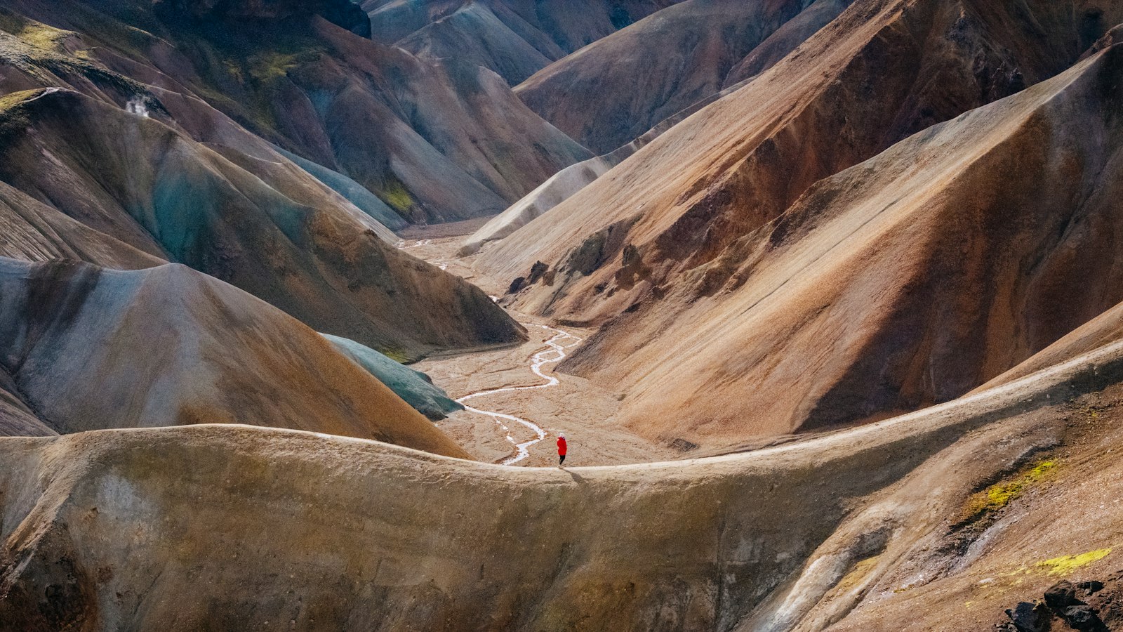
In the late nineteenth century, large parts of Iceland were still untouched by scientific exploration. Þorvaldur Thoroddsen (1855–1921), a geologist and geographer born on Flatey island in Breiðafjörður, changed that with his determination to understand and document the country’s landscape.
A lifetime among Icelandic landscapes
Þorvaldur came from a family known for public service and literature: his father, Jón Thoroddsen, was a writer and local official. After growing up in the rural Westfjords and later near Reykjavík, Þorvaldur attended the Learned School of Reykjavík, completing his studies in 1875. He soon moved to Copenhagen to attend university. Though he studied both zoology and natural history, it was during a scientific expedition to Askja and Mývatn with Danish geologist Johannes Frederik Johnstrup in 1876 that his fascination with the country’s geology took root.
Financial limitations interrupted his university studies, prompting him to accept a teaching job at Möðruvellir in northern Iceland in 1880. Over the following years, teaching combined with persistent scientific curiosity kept him traveling through the country, especially the less inhabited central highlands, which few scholars had visited. Iceland’s only detailed map at the time, produced by Björn Gunnlaugsson in 1848, focused on settled coastal regions, leaving the vast interior a mystery.
Mapping the unknown
From 1881 to 1898, Þorvaldur used his summers for arduous expeditions, documenting river systems, volcanic formations, lava fields and more. His travels yielded data that he would eventually use to publish an updated geological map of Iceland in 1901, incorporating corrections and revealing details that earlier maps had left blank. These expeditions were supported at times by grants from the Alþingi (Iceland’s parliament) and other institutions.
Relocating permanently to Copenhagen in the mid-1890s allowed Þorvaldur greater access to libraries and scientific networks, while Icelandic summers still saw him return for research until 1898. During these productive years he published numerous books and articles, including the influential ‘Lýsing Íslands’ (Description of Iceland), which combined geographical, geological and social observations. In recognition of his achievements, the University of Copenhagen awarded him an honorary doctorate in 1894, and he became a professor in 1902. He also received international honors, notably the Charles P. Daly Medal from the American Geographical Society in 1906, making him the first recipient from any Nordic country.
Þorvaldur’s work extended beyond mapping. He joined and helped establish various scientific societies, contributing to the exchange of knowledge within Iceland and with the wider world. His ambitions, shaped by a passion for the Icelandic landscape, left a legacy that influenced both science and national self-understanding.
Sources
- Wikipedia
- Wikipedia (Icelandic) in Icelandic


