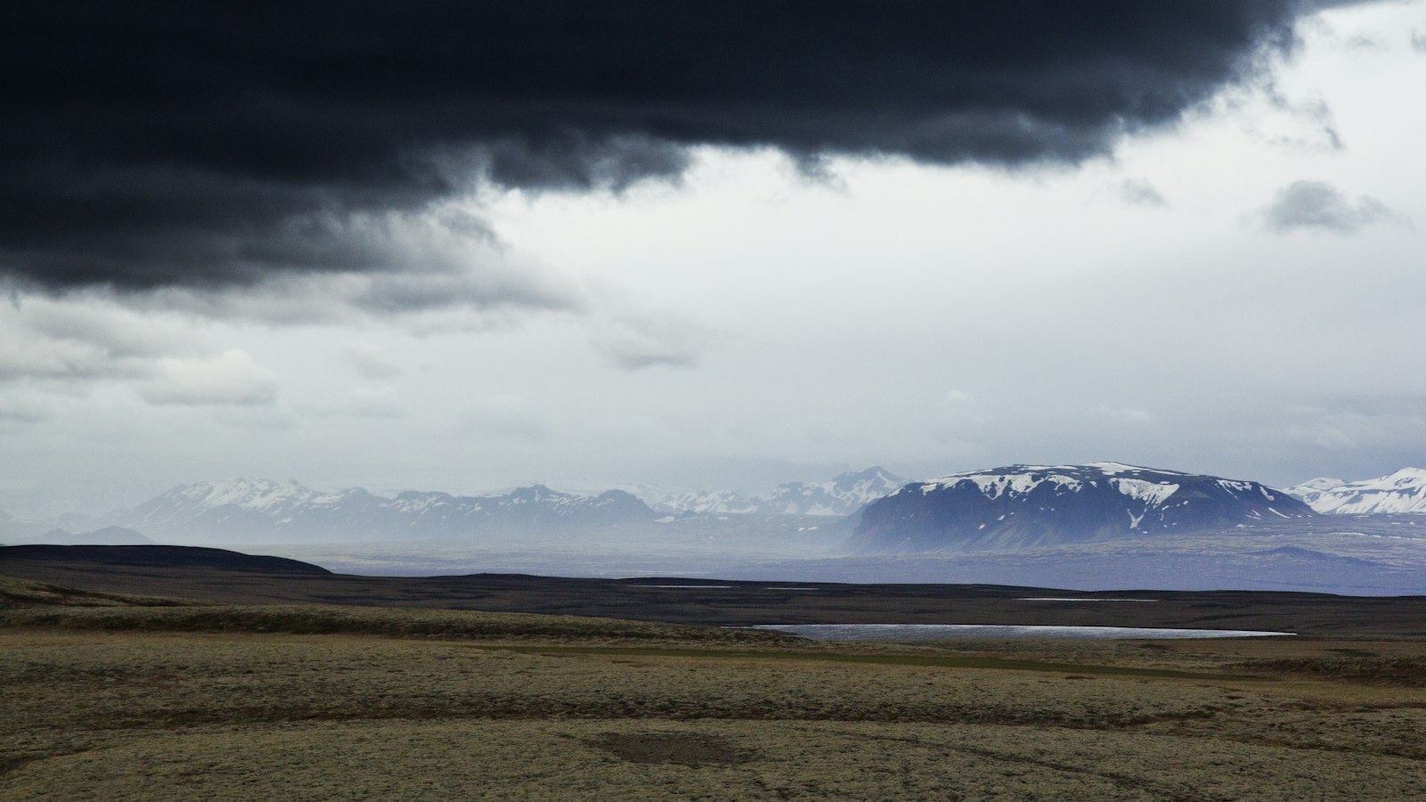
A very deep low-pressure system swept across Iceland overnight, bringing gale force winds, heavy precipitation and widespread weather warnings. The storm, approaching from the south, has produced some of the strongest October conditions seen in decades, Mannlíf first reported.
Forecast models now suggest the low is deepening more than originally expected, with meteorologist Einar Sveinbjörnsson warning that the system should be closely monitored. He emphasised the potential for property damage and described the low as rare for Iceland at this time of year.
The Icelandic Meteorological Office issued yellow and orange warnings for the event, cautioning residents about very poor travel conditions. Storm-level winds, including gusts up to 50 metres per second, were reported at Stórhöfði in the Westman Islands at 07:00. Snowfall was also expected in northern parts of the country by the afternoon and evening.
Some reports have stated that the unusually deep low could threaten a 63-year-old October record for low pressure. However, it is not yet known whether the system has officially broken that record.
The full impact of the storm will become clearer as updated measurements and data are evaluated by meteorological authorities.
Sources
- Mannlíf (first reported) in Icelandic
- Mannlíf in Icelandic
- Vísir in Icelandic
- mbl.is in Icelandic
- DV in Icelandic
- Bændablaðið in Icelandic
- mbl.is in Icelandic
- mbl.is in Icelandic
- mbl.is in Icelandic
- DV in Icelandic


