Iceland’s geography is an intricate blend of northern isolation, volcanic origins and oceanic exposure. Situated where the North Atlantic and Arctic oceans meet, Iceland lies just south of the Arctic Circle, around 970 kilometres from Norway and east of Greenland. These waters, often laden with ice, shape Iceland’s climate and play a central role in the country’s culture and livelihoods.
An island on the move
The landmass of Iceland covers just over 103,000 square kilometres, making it the world’s 18th largest island, yet it is one of the most sparsely populated regions in Europe. The island marks the western boundary of Europe, though often not counted with Greenland. What truly sets Iceland apart geographically is that it straddles the Mid-Atlantic Ridge, a tectonic boundary separating the Eurasian and North American plates. The country’s geological youth is visible in its mountains, dark lava fields and wide plateaus.
The effects of this dynamic geology run deep. Iceland is riddled with active volcanoes and hot springs. In some areas, such as the Southern Peninsula known as Reykjanes, geothermal vents power local energy needs and shape the landscape with hissing sulphur springs and broad, barren lava plains. The country is also dotted with geysers; one of the most famous, Geysir, lends its name to geysers everywhere.
Landscapes carved by ice and water
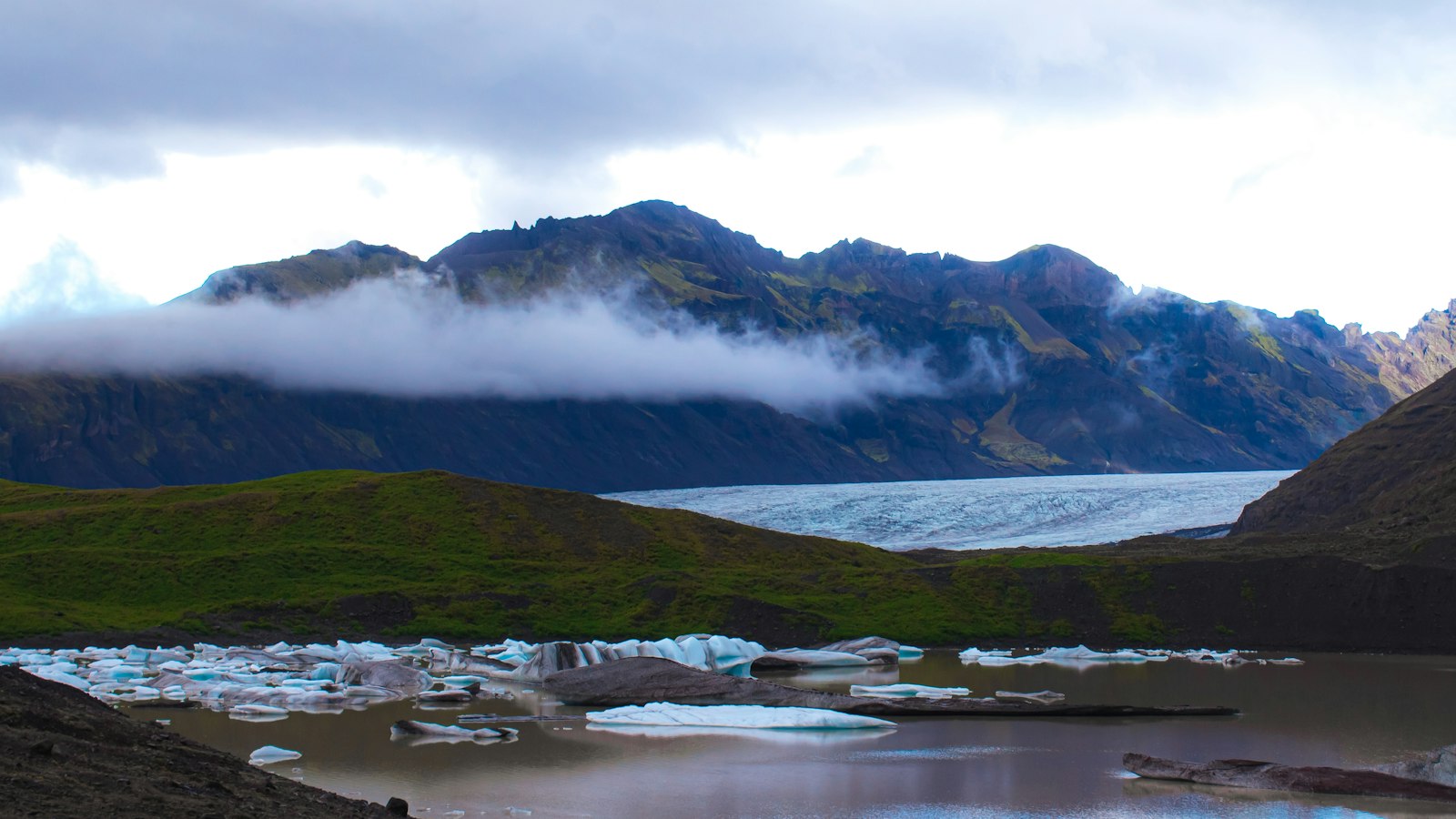
Glaciers once blanketed much of the land and still cover more than ten percent of Iceland today. Vatnajökull, stretching over 7,700 square kilometres, is the largest glacier in Europe. Others, like Langjökull, Hofsjökull and Mýrdalsjökull, continue to influence rivers and valleys. Meltwater forms powerful flows such as the Þjórsá river (Iceland’s longest at 230 kilometres) and iconic waterfalls including Gullfoss and Glymur, the latter being the second tallest in Iceland.
Iceland is composed of eight distinct geographical regions. The southwest, including the Capital Region anchored by Reykjavík, is where most inhabitants live. The central highlands, a region of recent volcanic origin, remain largely uninhabited. Other regions each possess striking features: the Westfjords peninsula is carved by steep fjords and houses the northernmost glacier, Drangajökull, while the East contains the largest surviving stands of native birch woodland.
Along the deeply indented coastline of nearly 5,000 kilometres, human settlements are clustered by natural harbours or fjords. The sparsely populated interior is mostly uninhabitable due to its harsh climate, young geology and lack of sheltering forests, a far cry from the woodlands that tree pollen and historical records suggest once covered up to forty percent of the island.
Iceland’s maritime reach is significant: its exclusive economic zone extends out more than 200 nautical miles from shore, covering over 751,000 square kilometres. This marine expanse supports rich fisheries and shapes national priorities.
The climate remains temperate for the latitude, owing to the North Atlantic Current. Warm but windy winters and cool, damp summers typify conditions in Reykjavík, where the average January temperature is just above freezing and July averages around 12°C.
Natural forces continue to mould Iceland, earthquakes, volcanic eruptions and floods from glacial lakes are familiar hazards. Together, these geography-driven phenomena make Iceland both resilient and continuously reshaped by nature.
Sources
- Wikipedia
- Wikipedia (Icelandic) in Icelandic


