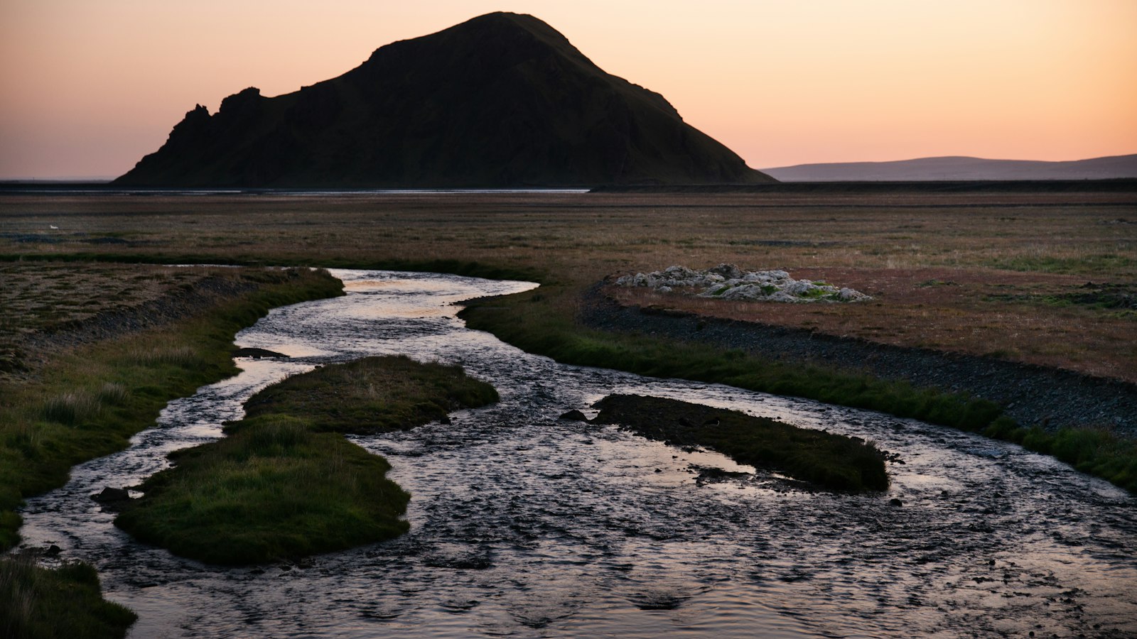
In the heart of south Iceland, Markarfljót carves a path between glaciers and volcanoes, gathering the waters that feed its journey to the sea. Stretching for about 100 kilometres, this river plays a central role in the region’s geology and settlement, bearing traces of immense natural forces over thousands of years.
A river born of glaciers and mountains
The origins of Markarfljót lie in the Rauðafossafjöll massif, east of the Hekla volcano. Here, it is joined by meltwater from the large glaciers Mýrdalsjökull and Eyjafjallajökull, as well as their many outlet glaciers like Steinsholtsjökull, Entujökull and Goðalandsjökull. Passing through narrow gorges between Tindfjallajökull and Torfajökull, Markarfljót receives tributaries that drain numerous highland basins including Grænafjall and Almenningar.
The river’s route features dramatic shifts. In some places, such as the Fljótsgil gorge and Markarfljótsgljúfur canyon, almost 200 metres deep, the river tumbles through steep ravines shaped by powerful ancient floods. Where it meets Þórsmörk, the river spreads out to form the Markarfljótsaurar sandur. Over centuries, Markarfljót’s shifting channels and deposited sediments have gradually transformed lowlands like Landeyjar and filled a post-Ice Age fjord. Today, the riverbed and its sandur mark the outlines of repeated glacial outbursts.
Jökulhlaup: a legacy of catastrophic floods
Markarfljót’s history is linked to jökulhlaup, a sudden glacial outburst flood capable of reshaping the landscape in hours. Evidence points to at least ten such floods in the past seven millennia. The largest prehistoric events sent destructive surges that covered the entire outwash plain, which covers about 830 square kilometres. In more recent times, major jökulhlaup have been triggered by volcanic and glacial activity, as in 1967 with the Steinholt event and in 2010 during the Eyjafjallajökull eruption. These floods drove river discharge up to 2,640 cubic metres per second.
Communities along Markarfljót faced challenges from its unpredictable course and flooding. Early efforts to manage the river included building defensive levees, with the earliest near Seljaland around 1910. Further dykes and embankments followed in the decades after 1930. Despite these, a massive jökulhlaup might still overwhelm the flood defences.
Transport over Markarfljót has long been difficult, with the first bridge built near Litli Dímon in 1934. This structure, 242 metres long, was the longest bridge in Iceland at the time. Later bridges at Emstrur and south of the original crossing improved access, but the river’s history as a barrier remains part of local memory.
Sources
- Wikipedia
- Wikipedia (Icelandic) in Icelandic


