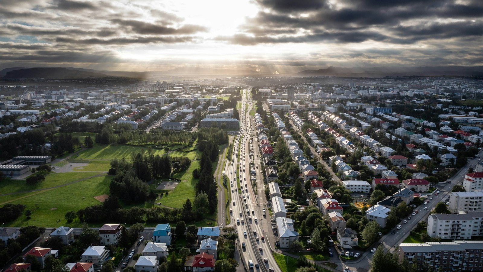
Tucked into the southwestern corner of Iceland, the Capital Region (Höfuðborgarsvæðið) represents both the geographic and demographic centre of the country. It forms a compact urban area, covering just over a thousand square kilometres, yet an estimated two-thirds of Iceland’s people reside here, more than 260,000 as of 2026.
Seven municipalities, one urban hub
The region is made up of Reykjavík and six adjacent municipalities: Garðabær, Hafnarfjörður, Kópavogur, Mosfellsbær, Seltjarnarnes and Kjósarhreppur. Of these, Reykjavík stands out in both population and density. While Kjósarhreppur takes up the largest share of land and remains primarily rural, Seltjarnarnes is the smallest municipality. Most residents live in the Greater Reykjavík urban area, which crosses several administrative borders, with only a small number spread over peripheral urban centres like Álftanes and Mosfellsdalur.
Each municipality maintains its own local council, responsible for services such as waste management, public transportation and firefighting. Their collaboration is long-established: for instance, since 2007 a single police department has covered the entire region, reflecting the practical benefits of cooperation in such a densely populated zone.
A region shaped by rapid growth
Growth in the Capital Region accelerated especially in the latter half of the twentieth century. Urbanisation here dramatically outpaced other regions of Iceland, making it one of the most densely settled areas in the country with around 238 people per square kilometre. High population density for Iceland, however, is modest by global city standards, and small green open spaces remain.
This area is not just the political core but also crucial for work and public life. Around a quarter of its workforce is engaged in professional or administrative roles, including public offices. The concentration of jobs and amenities in and around Reykjavík has reinforced its pull as the focal point for Icelandic society.
For national parliamentary elections, the region is split into three districts: Reykjavík is divided into north and south, while the other municipalities form a southwest constituency, often referred to as the ‘kragi’ or collar. Judicial boundaries similarly reflect the urban–rural split, dividing the municipalities between Reykjavík’s and Reykjanes’s district courts.
Even as municipal borders remain, the lived experience of residents is defined by the continuous urban spread that blurs administrative lines. Efforts at regional planning, shared infrastructure, and joint services characterise daily life, creating a cohesive metropolitan area that is unique in the Icelandic context.
Sources
- Wikipedia
- Wikipedia (Icelandic) in Icelandic


