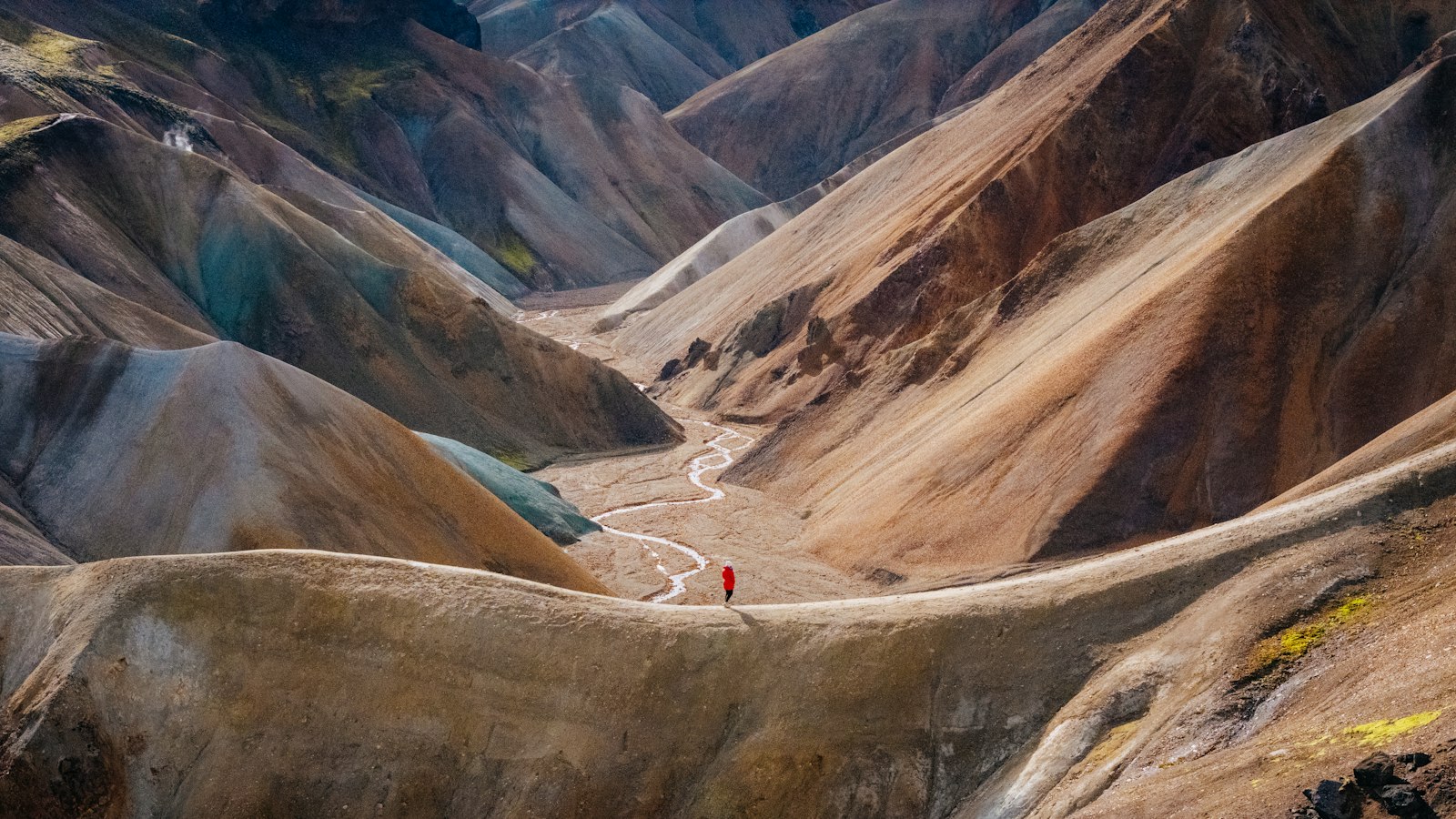
Rising more than 300 to 400 metres above sea level, the Icelandic highlands, hálendið, or more specifically miðhálendið for the central highland, make up the majority of the island’s interior. This region, vast and mostly uninhabited, is shaped by cold, ash-covered soil, rugged basalt mountains and expansive lava fields. It stands in contrast to the gentler, more populated lowlands that ring Iceland’s coasts.
For much of the year, a covering of snow and ice defines the highlands. Between October and early June, temperatures drop and most routes into the area close. Nourished by only limited patches of water and weak sunlight, plant life is sparse: over 40 percent of the land has little or no vegetation, while mosses dominate almost half of the rest. Wildlife is adapted to these tough conditions, with the arctic fox (tófa) roaming widely and reindeer favouring the wilder heaths.
Despite its severity, the highland is not empty of natural marvels. Iceland’s largest glaciers, Vatnajökull, Langjökull, Hofsjökull, Eyjafjallajökull and Mýrdalsjökull, lie here or on its boundaries, their ice shaping both travel and ecology. Some of these great glaciers sit atop active volcanoes, most famously Eyjafjallajökull, whose eruption in 2010 brought global attention to volcanic forces still present in the region.
Melting ice caused by volcanic activity has given rise to a unique phenomenon called jökulhlaup: violent glacial outburst floods. When an eruption heats the base of a glacier, channels of water build until they burst out, reshaping rivers and threatening everything in their paths. This process is one of the highland’s defining natural hazards and is closely studied by scientists.
The highland is laced with other remarkable features, including volcanic rifts and lava fields like Eldgjá or Ódáðahraun, and extraordinary oases such as Þórsmörk and Herðubreiðarlindir. Lakes large and small, both natural and manmade, are scattered through the landscape. Þórisvatn, the country’s largest lake, has been expanded through hydroelectric development. The region also hosts some of Iceland’s iconic mountain formations, including Herðubreið, Askja, Kerlingarfjöll and Snæfell.
Numerous rivers have their origins under these glaciers, among them Þjórsá, Blanda, and the mighty Jökulsá á Fjöllum. Birds find niches along their banks and oases, with up to 32 species recorded, including pink-footed geese, ptarmigan and several ground-nesting birds.
Though historically used as upland pastures and ancient travel routes, today the highland is mostly managed as public land held by the Icelandic state. Protected areas are growing; Vatnajökull National Park (on UNESCO’s World Heritage list) now covers much of the eastern highland, and several oases and mountain regions have been designated for conservation.
Access to these remote, fragile spaces is limited and sometimes controversial. Roads, known as F-roads, cross the highland only in summer, and most require four-wheel drive vehicles able to handle river crossings and rough tracks. Some routes, like Kjölur, can be managed in ordinary cars, but in general, off-road travel is strictly forbidden to protect the unique landscapes. Environmental debates around further development and new hydroelectric projects continue to stir strong opinions across Icelandic society.
Sources
- Wikipedia
- Wikipedia (Icelandic) in Icelandic


