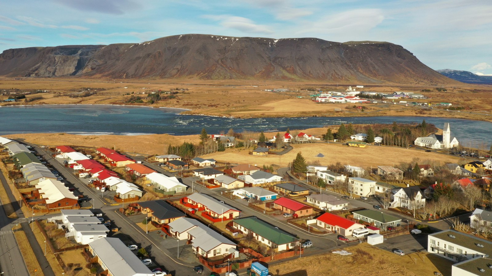
For almost ninety years, southern Iceland existed with no major seismic interruption, even as it sat atop one of the planet’s most geologically active boundaries. That ended abruptly in June 2000, when two powerful earthquakes struck near Selfoss, disrupting daily life and revealing the sheer energy lurking beneath the ground.
A land between plates
Iceland sits atop the Mid-Atlantic Ridge, where the North American and Eurasian tectonic plates meet. The island’s placement on the MAR, under the influence of a hotspot, has shaped its unique landscape over millennia. The rift system’s steady movement west in relation to the persistent upwelling of the hotspot forces fault systems in the island’s north and south to absorb the resulting seismic stress.
The South Iceland Seismic Zone (SISZ), running roughly west to east and about 20 kilometres wide, is the southern belt where these forces converge. Most quakes associated with the SISZ occur on north–south trending faults with right lateral slip, though other orientations also exist. Historical records note at least 33 damaging earthquakes in the SISZ between the 11th century and 2000, with the last major ones taking place in 1896 and 1912.
Impact and aftermath
The first earthquake struck at 15:40 UTC on 17 June, measuring 6.4 to 6.5 in magnitude at a depth of just over 6 kilometres. It ruptured the Árnes Fault over a 16 kilometre stretch, visible on the surface as fresh fissures. A powerful jolt reaching 0.64g in ground acceleration rattled the land.
Four days later, a second 6.5-magnitude quake occurred just after midnight, now along the Hestfjall Fault. This rupture extended some 18 kilometres underground and affected surface land over a 25 kilometre span; one bridge across the Þjórsá river sustained enough damage to suggest peak acceleration as high as 0.85g.
Together, the two events damaged an 800 square kilometre swathe from Landssveit and Holta to Rangárvellir. Areas affected included homes, farms, high-voltage transmission lines, and even glass production facilities. Faults opened, power masts tilted as their foundations shifted by up to 30 centimetres, and communications systems failed. Despite the scale of destruction, twenty-three homes destroyed, dozens more damaged, and US$20 million in losses, there were no fatalities and only minor injuries reported.
The resilience of local communities was tested, with roads closed, utilities disrupted, and repairs undertaken in the middle of summer. From Hella to Selfoss and into the rural Grímsnes region, the earthquakes of June 2000 marked a dramatic end to southern Iceland’s long seismic quiet.


