At the start of the twentieth century, the vast interior of Iceland was largely inaccessible by vehicle. Most movement around the country relied on a web of bridle paths, especially outside the more developed southern coast. Wheeled transport was rare, with only a handful of short roads suitable for carts or carriages.
This began to change in the late 1800s, when a Norwegian expert helped organise the construction of better roads and bridges. Iron bridges began spanning Iceland’s major rivers from 1888, and by the end of the century, a formal Road Act divided the country’s roads into categories. This act distinguished between high roads (state-funded), provincial roads (province or part-state funded), parish roads (locally funded), and mountain roads (bridle paths maintained with state support).
Motor vehicles arrived in 1913, and their numbers grew swiftly, by 1925, there were more than 400 on the island. As demand increased, the network expanded to around 3,000 kilometres of motorable routes by 1933. By 1936, different official accounts put the total length of all roads at around 4,400 kilometres, with 2,800 of these suitable for vehicles; most motorable roads ran close to the coast, notably linking Reykjavík to Akureyri in the north.
A road system shaped by landscape and law
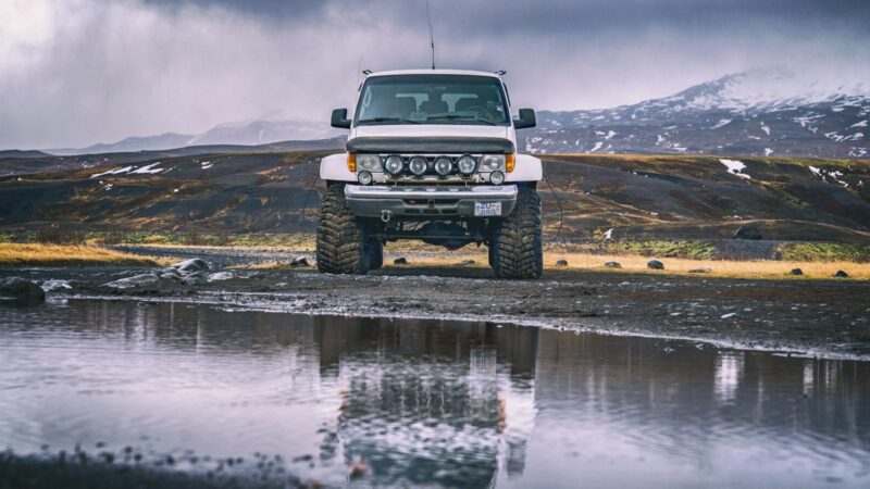
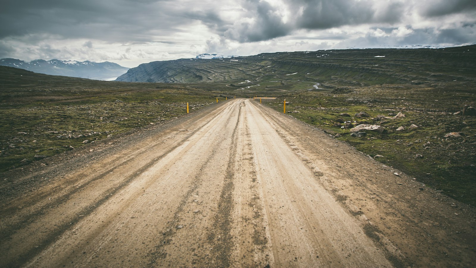
Iceland’s challenging terrain remained a defining feature. Mountain roads, known as “fjallvegir,” often followed bridle paths marked by stone cairns, especially where bridges or major works were difficult. Unpaved highland routes, labelled as “F-roads”, are still a distinct road type. These tracks are exclusively for four-wheel-drive vehicles due to the presence of unbridged rivers and rough conditions. Attempting to drive a standard car on these F-roads is not only dangerous but against Icelandic traffic law.
Road administration today follows a strict classification. The national highway system includes categories such as the Primary Road (Stofnvegur, S), which forms the backbone grid of Icelandic transport; Secondary Road (Tengivegur, T), generally longer than 10 kilometres, connecting main routes and regional links; Local Access (Héraðsvegur, H) serving farms and localities; and Highland Road (Landsvegur, L), which covers unsurfaced mountain or upland tracks.
Order in the numbering chaos
A methodical numbering scheme helps navigate Iceland’s web of roads. The famed Ring Road (number 1) encircles the country and stands alone as a single-digit road. Roads beginning with digits 2 to 9 are tied to Iceland’s regions, based on geography: for instance, those starting with 2 lie east of the Þjórsá river in South Iceland, while 4 covers Reykjavík and the Reykjanes peninsula. Two-digit numbers indicate main roads in each region, while three-digit numbers are assigned to notable but lesser routes. F-roads usually borrow these numbers with an F prefix, highlighting their difference as highland routes.
Some local connectors and farm tracks even have four-digit numbers, though these are rarely shown on public maps and are mainly recorded for administrative purposes. Road infrastructure continues to evolve, and lists are kept of past routes and historic numbers, marking each change in the network’s history.
Regular bus travel became part of daily life in the early 1940s, with journeys between Reykjavík and Akureyri requiring two long days even by bus, reflecting the ruggedness of the network. Today, Iceland’s roads, shaped by history, terrain and thoughtful organisation, remain vital to understanding how Icelanders have adapted to their remote, dramatic island.
Sources
- Wikipedia
- Wikipedia (Icelandic) in Icelandic