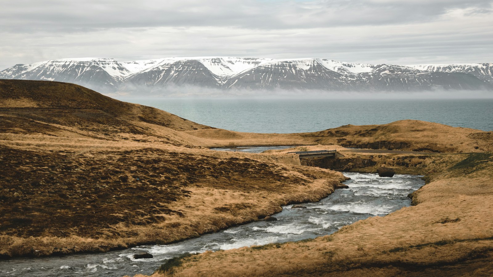
Between the volcanoes and mountains of south-central Iceland lies Þjórsárdalur, which means “Þjórsá Valley.” This wide, mostly flat valley in Árnessýsla county is bordered by the prominent peaks of Búrfell to the east and Skriðufell to the west, stretching towards the Þjórsá river. Over centuries, its landscape has been repeatedly changed by eruptions from volcanoes such as Hekla and the Vatnaöldur system.
A valley shaped by fire and water
The valley is marked by thick pumice deposits from volcanic eruptions, the most dramatic from Hekla’s 1104 eruption, which buried farms and reshaped the land. Nearby eruptions from Vatnaöldur produced the expansive Þjórsá Lava, Iceland’s largest known lavafield from prehistoric times. When the Búrfellshraun lava flowed through the area about 3,000 years ago, it altered the flat wetlands, creating pseudocraters and a new landscape still visible today.
Despite the valley’s name, the main course of Þjórsá runs past its mouth. Instead, several rivers and streams, including Fossá, Rauðá, and Sandá, weave through the valley bottom. Notable natural landmarks include Háifoss, among the country’s highest waterfalls, along with features like Gjáin, where the Rauðá river cuts through cliffs in a dramatic canyon.
Ruins, resilience and new life
Þjórsárdalur preserves ruins from Iceland’s early settlement era. The farmstead of Stöng, famously buried in ash from Hekla’s eruption, was excavated in 1939 and reconstructed as the farm museum Þjóðveldisbærinn, giving rare insight into daily life in the Saga Age (930–1030). Archaeological surveys have uncovered remnants of 12–15 medieval farms across the valley. Scholarly debates continue over why these settlements disappeared, with theories ranging from volcanic disasters to climate shifts and epidemics, much like the mixed causes hypothesised for other deserted sites across Iceland.
Lava and ash once dominated the valley, but sections around Ásólfsstaðir and Skriðufell now host large forests, some natural, others planted by Iceland’s Soil Conservation Service. Restoration projects have used grass species and lupins to revive areas covered by volcanic material, while unique plants like angelica and sea lyme grass thrive around local springs and pasture fences. Municipal and industrial projects continue to shape the land, including facilities around Búrfellsvirkjun hydroelectric plant and experimental golf courses.
Historic and natural features intermingle with ongoing development, such as a new hotel in the eastern Rauðukambar area, planned to integrate with the valley’s characteristic rock formations. Yet in places like Gjáin and Háifoss, the power of water and the marks of ancient eruptions tell the story of a valley that has continually changed, by both human hands and the deeper forces beneath Iceland’s surface.
Sources
- Wikipedia
- Wikipedia (Icelandic) in Icelandic


