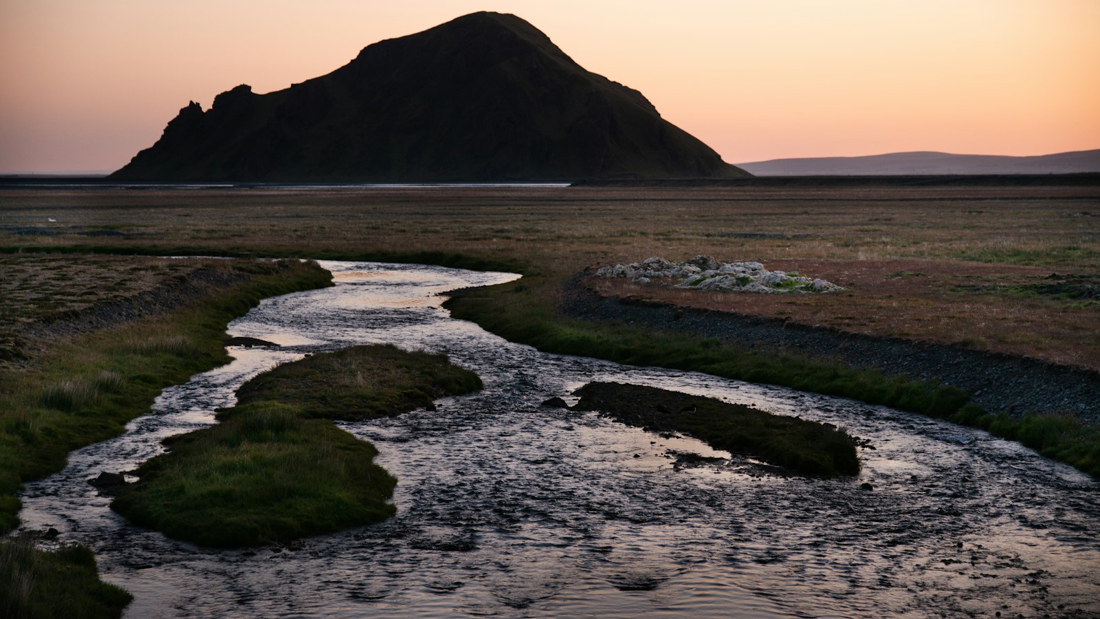
In southern Iceland, the Skaftá river traces a path through landscapes defined by the forces of ice and fire. The river’s distinctive course and behaviour are the result of its glacial origins and the dramatic impact of volcanic eruptions in the region.
Where glacial water meets volcanic land
The Skaftá is primarily fed by waters emerging from two subglacial ice cauldrons beneath Skaftájökull, an outlet of the vast Vatnajökull glacier in Iceland’s interior. These ice cauldrons, called Skaftárkatlar in Icelandic, are essentially subglacial lakes separated by a ridge more than 50 metres high, with no direct connection at the glacier bed. However, studies suggest that the waters may be linked by an underground aquifer in the porous basalt, and this system even appears to connect to the distant Grímsvötn cauldron.
Apart from the glacial meltwater, the Skaftá also receives clear spring water from tributaries such as the Útfall, which flows into it from Langisjór lake to the west, and smaller rivers including the North and South Ófaerá, Grjótá and Hellisá. The merging of glacial and spring waters gives Skaftá characteristics of both a glacier river (jökulá) and a spring river (lindá).
Shaped by eruptions and frequent flooding
The course of the Skaftá dramatically changed in the late 18th century, especially during the eruption that began in June 1783. Known as the Skaftá Fires (Skaftáreldur), this multi-year volcanic event included the activity of Grímsvötn and Þórðarhyrna, which filled parts of the river valley with lava. A gorge thought to have once reached 200 metres in depth was filled, and the river was diverted into a network of shallow channels over the new lava fields.
Since then, the river’s behaviour has remained tied to the rhythms of the glacier above. The Skaftá is highly susceptible to glacial outburst floods (jökulhlaup), which take place every one to two years when meltwater rapidly escapes from beneath the ice cauldrons. The western cauldron (Skaftárketill Vestari) is the more frequent source, while the eastern (Skaftárketill Eystri) can produce the largest outbursts. The most significant flood in recorded history occurred in the autumn of 2015.
Flowing southward, the Skaftá eventually splits into three main branches, including the Eldvatn (also known as Ása-Eldvatn), which later joins the Kúðafljót river, and the Ásakvísl, which travels beneath sand-covered lava. The easternmost branch retains the Skaftá name and skirts the village of Kirkjubæjarklaustur before reaching the Atlantic Ocean, 115 kilometres from its source.
For centuries, crossing the Skaftá and the surrounding lava fields posed significant hurdles for people and livestock. Until the early twentieth century, journeys here relied on horses. The first bridge over Skaftá at Kirkjubæjarklaustur was completed in 1903, changing local travel routes and gradually improving connections across this ever-changing landscape.
Sources
- Wikipedia
- Wikipedia (Icelandic) in Icelandic


