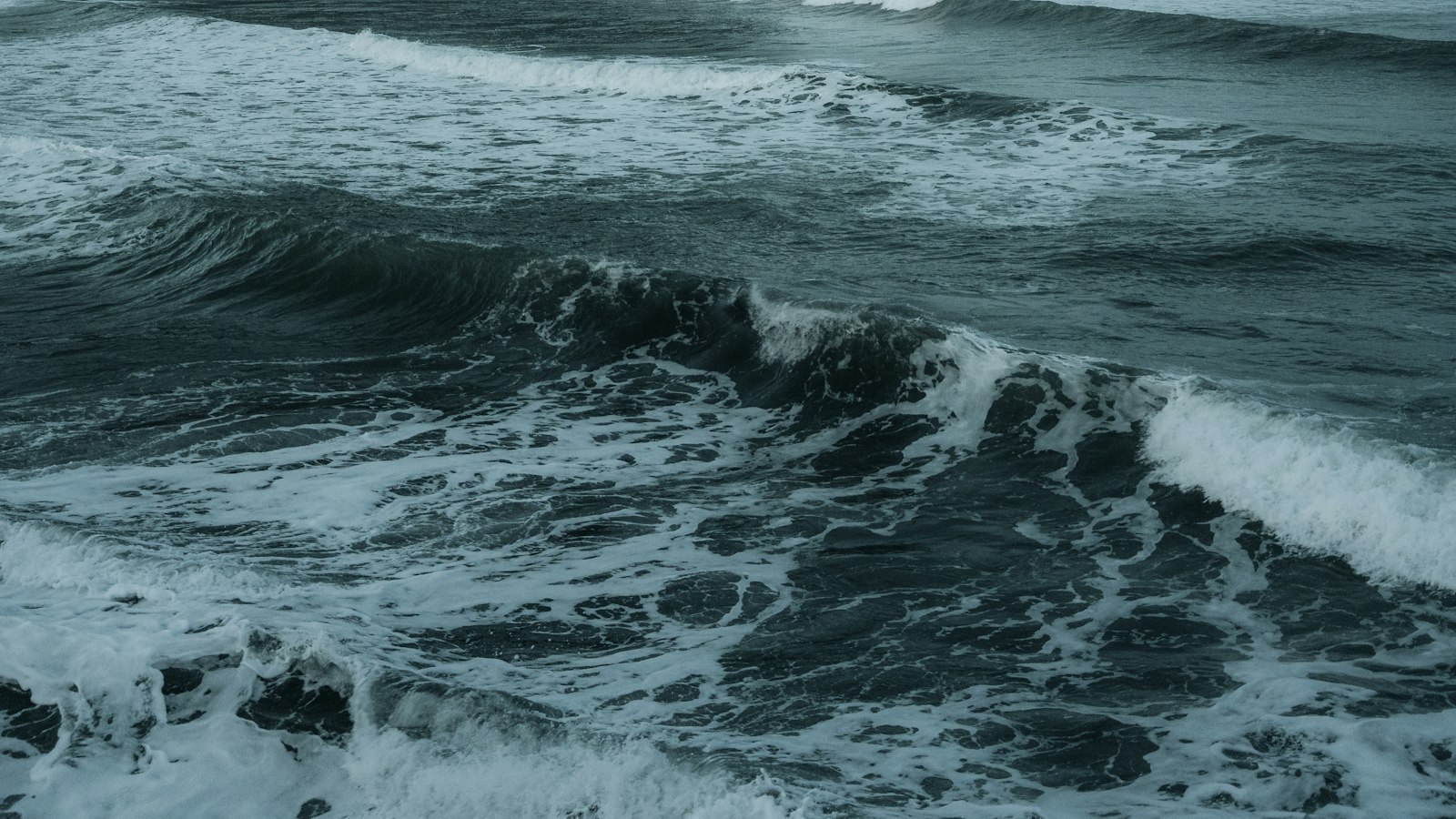
Between Iceland and Greenland, the Greenland Sea forms a remote expanse of cold water that has played a quiet but significant role in Arctic history and ecology. Known in Danish as Grønlandshavet, this sea stretches north to the fringe of the Arctic Ocean, eastward towards Svalbard, and south to the Norwegian Sea. Its boundaries connect some of the most stark and uninhabited regions in the North Atlantic.
A crossroads of waters and currents
Geographically, the Greenland Sea is bordered on the west by Greenland and on the south by Iceland. The Fram Strait links it to the Arctic Ocean in the north, while to the east, Svalbard watches over its frozen waters. South of Jan Mayen Island, the area is sometimes distinguished as the Iceland Sea. The underwater landscape features a deep basin, with the sea floor plunging to 4,846 metres, and in the Fram Strait nearby, depths reach 5,570 metres at the Molloy Deep.
Water temperatures in the Greenland Sea stay close to freezing, rarely rising above 0 °C. Arctic winds flow steadily across its surface. The sea’s climate shifts from −49 °C in northern reaches during winter to a brief, chilly summer where southern temperatures might reach 25 °C. Annual precipitation is relatively low, varying from 250 millimetres in the north to twice that in the southern fringes. Tides in the region bring further change, with height averaging 4.4 metres.
The Greenland Sea is notable for its role in global ocean circulation. The North Atlantic Current brings warmer waters north, which cool and sink in these Arctic regions, feeding deep water currents that return southward as the East Greenland Current, an essential part of the Atlantic ‘conveyor belt’. Along the east, the Spitsbergen Current carries warmer water up from the Gulf Stream. The interaction of cold freshwater from melting sea ice with these saltier currents can cause cabbeling, a process particularly important for thermohaline circulation in the global oceans.
Wildlife, ice, and scientific history
The Greenland Sea is blanketed by sea ice for much of the year, particularly in winter. In the area between Greenland and Jan Mayen, known as the West Ice, ice forms a breeding ground for harp, hooded, and grey seals, a site used by hunters since the 18th century. The conditions here are harsh, with strong winds and shifting ice that have led to maritime disasters, such as the 1952 storm in which 79 Norwegian seal hunters were lost.
The sea’s history also reflects centuries of whaling, with industrial-scale hunts depleting bowhead whale populations by 1911. Despite protection, populations remained low for many decades, but reports since the late 1990s suggest a possible recovery, bringing cautious optimism among Arctic scientists.
Though only the Svalbard archipelago is permanently inhabited nearby, Jan Mayen Island further southeast hosts meteorological stations, continuing a tradition of scientific observation that began in the late 18th century. Early Russian and later Norwegian expeditions mapped currents, depths, and seasonal ice, laying groundwork for modern Arctic studies. Today, Norwegian, Icelandic, and Russian teams continue to study the Greenland Sea’s evolving environment.
Sources
- Wikipedia
- Wikipedia (Icelandic) in Icelandic


