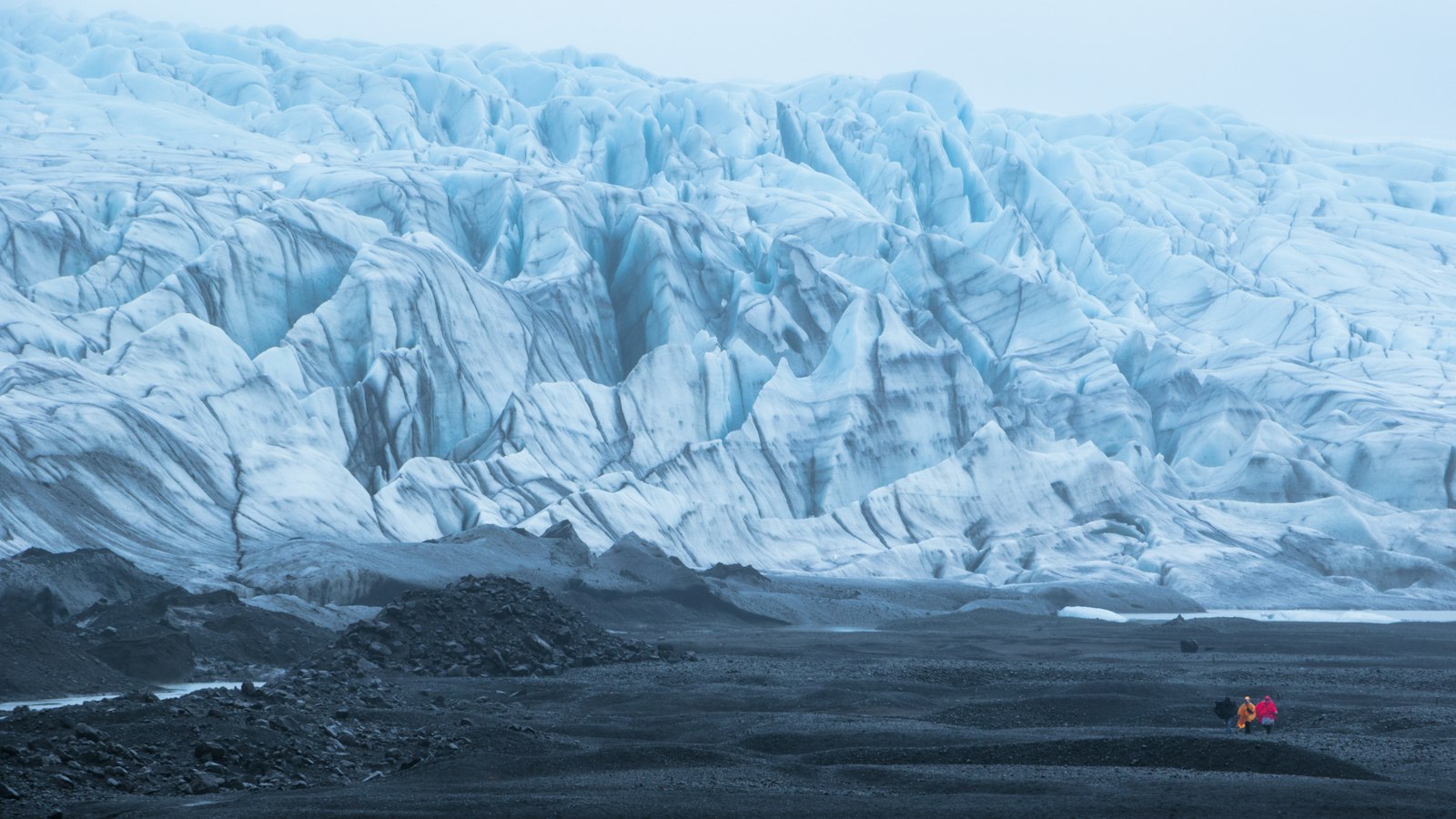
In the southeast of Iceland, the area known as Skaftafell stands between glaciers and volcanic peaks, its landscape defined by centuries of natural drama and human adjustment. Today Skaftafell is a cornerstone of Vatnajökull National Park, but its past tells of a flourishing farm, catastrophic volcanic eruptions, and continual transformation.
Marked by eruptions and rivers
When the first settlers arrived in Iceland, Skaftafell soon became an important farm and the site for local gatherings, or “þing.” It eventually became church property and later a royal estate. The area benefits from a unique microclimate, often enjoying more favourable weather than surrounding regions thanks to the sheltering effects of the Öræfajökull volcano’s glacier cap.
The calm did not last. In 1362, Öræfajökull unleashed the most powerful explosive eruption in post-settlement Iceland, with a column of ash reaching around 30 kilometres into the sky and ejecting some 10 cubic kilometres of volcanic material. The eruption wiped out all settlements in the district, which has since been called Öræfi, the wasteland. Farms slowly reappeared, but the region, also known as Litla-Hérað, never returned to its former population. Further eruptions and jökulhlaups, glacial floods, followed in 1727, causing loss of life and animals and leaving visible marks on the landscape.
Adaptations in farming and landscape
Farmers in Skaftafell historically relied on more than sheep, heading to the coast to hunt seals and gather eggs. They sometimes scavenged the remains of stranded ships for materials. Their homesteads shifted location as the Skeiðará river began flowing closer to their fields, gradually destroying valuable farmland with sand and ash from floods following eruptions, particularly from the active volcano Grímsvötn. By the early 19th century, the main farm was relocated higher up the slope and divided. The last traditional farming ceased in 1988, with two farms now surviving, turning mainly to tourism for income.
Skaftafell’s scenery is defined by contrasts. Glacial tongues like Skaftafellsjökull, remnants of the Vatnajökull ice cap, extend toward black, sandy plains called Skeiðarársandur. These outwash plains, or sandur, are forged by immense jökulhlaups when subglacial eruptions rapidly melt the ice. The region’s bedrock, mapped in detail, reveals layers up to five million years old, chronicling toggles between ice age and temperate conditions.
Birch woods and wildlife return
After protection began in 1967, grazing sheep were removed. Since then, native birch forests in areas such as Bæjarstaðarskógur, where birch can reach unusual heights for Iceland, up to 12 metres, have rapidly expanded. The valley’s flora includes plants unique to eastern Iceland, such as harebell, yellow saxifrage, and pyramidal saxifrage. Bird watchers may spot redwing, wren or meadow pipit in the woods and higher slopes. Mammals remain limited to the Arctic fox, mink and field mouse, but the area supports an unusually diverse array of insects for the country.
Skaftafell is both a record of centuries-long adaptation and a living example of how nature and communities continue to shape one another in Iceland.
Sources
- Wikipedia
- Wikipedia (Icelandic) in Icelandic


