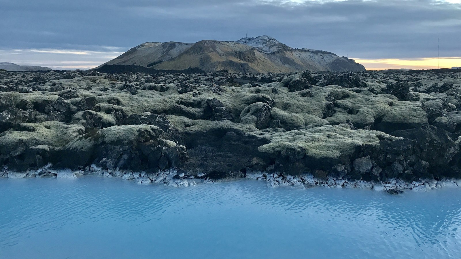
On Iceland’s south-west Reykjanes Peninsula, a restless geological engine works largely beneath the surface. The Krýsuvík volcanic system, pronounced [ˈkʰriːsʏˌviːk], reveals a landscape unlike what many people expect of volcanoes. Instead of a central peak, Krýsuvík sprawls as a fissure system, long cracks and faults that repeatedly split and reshape the ground.
A fissured heart of the Mid-Atlantic Ridge
Krýsuvík sits directly on the Mid-Atlantic Ridge, the boundary where tectonic plates drift apart. As the ground pulls open, magma can rise more easily to the surface. The system is defined by its 55 kilometre-long zone of fractures, some volcanic, others tectonic, that cut across the Reykjanes Peninsula. Unlike Iceland’s more dramatic central volcanoes, Krýsuvík has formed no dominant cone. Yet geophysical investigations suggest a buried caldera and possibly a growing central magma chamber may be developing, hinting that its geology is still evolving.
This volcanic system covers 350 square kilometres and rises to a modest height of 393 metres above sea level. Its fissures stretch from the southern coast towards Reykjavík’s outskirts, even reaching near Lake Rauðavatn. Lake Kleifarvatn, entirely within the Krýsuvík area, rests above active geothermal fields. Notably, there are no submarine fissures nor glaciated volcanoes connected with this system.
A history of fire, water and transformation
The story of Krýsuvík is written in its lava fields and the records of past eruptions. The system favours effusive basaltic eruptions that pour out lava from fissure vents, rather than producing explosive ash columns. At least 10 volcanic episodes have taken place in the last 8,000 years. One significant period, known as the Krýsuvík Fires, began around 1151 and continued into the late 12th century. Records in Flateyjarbók, a medieval Icelandic manuscript, describe these prolonged episodes that reshaped large areas.
Among the notable lava fields attributed to Krýsuvík is Búrfellshraun, formed about 8,000 years ago by flows from the Búrfell crater near Hafnarfjörður. Today, much of the town stands atop this ancient lava. Another, Kapelluhraun, erupted around 1150 during the Krýsuvík Fires and is so named for a medieval chapel whose ruins remain visible.
Krýsuvík is also prone to phreatic explosions. These occur when hot magma or geothermal fluids meet groundwater or seawater, causing violent steam-driven eruptions. The area’s high groundwater and saline cave systems make such events possible, as seen in the prehistoric maar complex near Grænavatn and in events like the 1999 explosion at Seltún.
Vivid geothermal landscapes
The Seltún geothermal area, near Lake Kleifarvatn and beside the Sveifluháls ridge, is still actively shaped by the heat below. Here, solfataras, fumaroles, mudpots and hot springs dot a multicoloured landscape created by iron oxidation, sulphur and mineral deposits. Sulphur was mined here for much of the 18th and 19th centuries, and in 1845, German scientist Robert Bunsen based pioneering research on these hot springs.
Recent years have seen renewed signs of the underground drama. From 2020 to 2023, the ground in Krýsuvík displayed vertical movement, likely related to shifting magma deep below. Earthquake swarms, including a sequence in late 2021, continue to remind locals and visitors that this seemingly quiet landscape is, in fact, alive with geological energy.


