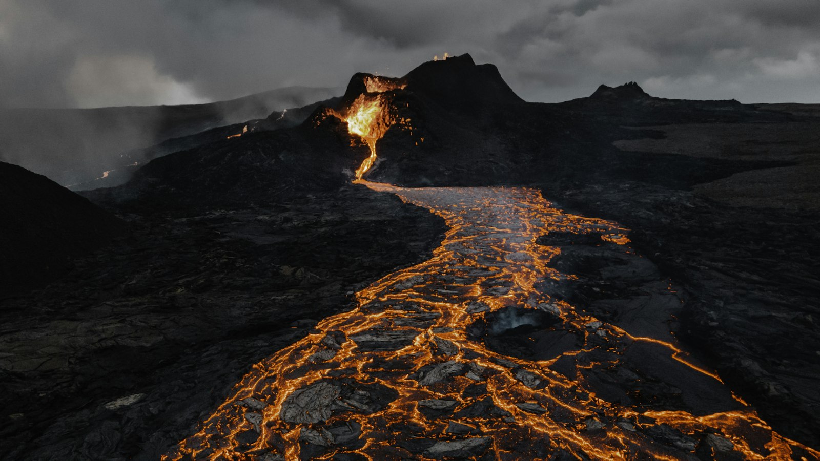
Iceland’s remarkable volcanic activity is a direct result of its position atop the Mid-Atlantic Ridge, precisely where the Eurasian and North American tectonic plates meet. The island sits above the Iceland hotspot, making it one of the most volcanically active places on earth. This constant movement beneath the surface creates a patchwork of volcanic zones and distinctive geological features, reflected in a deep and detailed record of eruptions that have shaped both Iceland’s physical geography and its communities.
A land divided by volcanic zones
Multiple volcanic zones cross Iceland, each with their own character and history. The East Volcanic Zone (EVZ) is home to many of the island’s most well-known volcanoes. The EVZ includes complex systems such as Vonarskarð, Hágöngur, and the Southern Iceland Volcanic Zone. The West, North, and Mid-Iceland belts connect these systems, creating an intricate geological network. North of the island, the Kolbeinsey Ridge acts as an underwater extension, while the Snæfellsnes volcanic belt to the west sits atop the North American plate. Transform fault zones like the South Iceland Seismic Zone and the Tjörnes Fracture Zone link these volcanic areas, intersecting with towns such as Selfoss and the old Alþing meeting place at Þingvellir.
Distinct volcanic systems like the Reykjanes Peninsula, with its ongoing fissure eruptions, and intraplate features such as Snæfellsjökull and Helgafell on the Snæfellsnes Peninsula, give each region its own volcanic identity. Even offshore, activity has led to the creation of islands such as Eldey.
Chronicles of fire and ash
The written and geological records tell of countless eruptions stretching from prehistoric times through to the ages of settlement and modernity. The earliest known volcanic rocks on Iceland date to nearly 16 million years ago. Large-scale eruptions have repeatedly transformed the land: the Veiðivötn eruptions created lava fields covering up to 1000 square kilometres, and Hekla has produced multiple major explosive eruptions, with ash layers that can be found throughout the Icelandic soil and beyond.
Following the first Norse settlers in the late ninth century, some of the first major recorded events include the Vatnaöldur eruption around 870, known as the Settlement eruption, which left a distinct layer of ash across the countryside. The eruption at Eldgjá and Katla in 939 released massive lava flows and ash, with evidence suggesting it resulted in some of the coolest recorded summers across the Northern Hemisphere. The tale of this eruption lives on in older sources, recalling the devastation it caused and the dramatic changes in Iceland’s landscape.
The medieval period saw repeated eruptions from volcanoes such as Hekla, Katla, and in the Reykjanes area, sometimes causing famine and depopulation in affected areas. The 1104 eruption of Hekla, the largest in Icelandic recorded history, buried farms including Stöng in deep ash. Offshore eruptions repeatedly formed and destroyed islands near the coast, and volcanic activity from the thirteenth century triggered major social and environmental disruptions.
This catalogue of eruptions is not merely a list of disasters, but a record of a land in flux, where geology, history, and human life are entwined. Iceland remains a living laboratory for volcanic research, and the story of its eruptions continues to unfold.
Sources
- Wikipedia
- Wikipedia (Icelandic) in Icelandic


