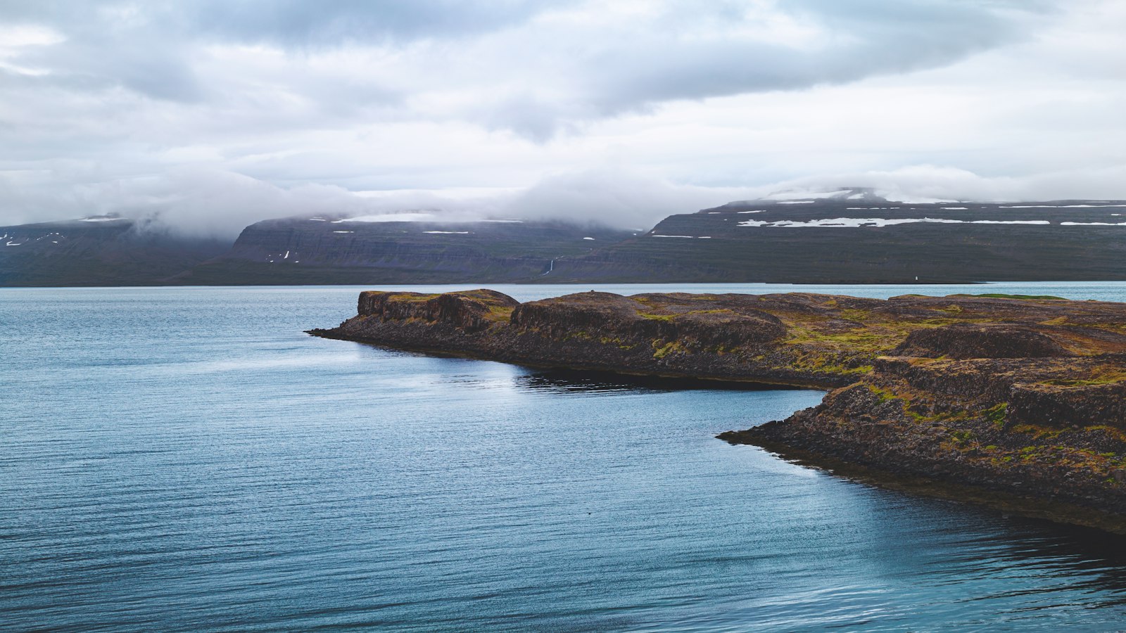
About 35 kilometres north of the town of Akureyri, Hrísey has held its place in Eyjafjörður for centuries. With its low-lying grassy lands and a landscape shaped by ancient basalt, this island embodies both the deep history and changing fortunes of life along Iceland’s northern fjords.
A settlement bound to sea and land
Hrísey stretches about 7.5 kilometres from north to south and reaches 2.5 kilometres at its widest point in the south. It ranks as Iceland’s third-largest island after Heimaey and Iceland itself, and has been continuously inhabited since the earliest days of Icelandic settlement. Its name refers to the dwarf birch scrub, or hrís, that once grew here; the first settler, Hríseyjar-Narfi Þrándarson, is remembered in historic sagas and the Landnámabók, a medieval record of Iceland’s settlement.
Fishing once defined Hrísey’s fortunes. By the late nineteenth century, Norwegians and Swedes used the sheltered waters of Eyjafjörður for rich herring hauls, later joined by Icelanders. A herring factory was part of the island’s small but bustling community and marked it as a vital port during what became known as the “herring adventure.” After years of overfishing, the herring vanished in 1969. The last fish processing plant shut its doors in 1999, closing a significant era in the island’s economy.
Birdlife, geothermal surprises and modern ties
Despite the decline of the fishing industry, Hrísey adapted. The island is now recognised for its abundant birdlife, supported by the absence of land predators. The killing of birds is forbidden. More than forty species inhabit the island, including ptarmigan, Arctic terns and eider ducks. The northern area, Ystabæjarland, is a privately owned nature reserve.
Hrísey’s geology quietly shapes daily life. Its bedrock, mostly basalt 11–12 million years old, anchors an unhurried landscape never rising beyond 110 metres above sea level. Geothermal heat surfaces in two main places: at Kríunes on the shore, where wells once yielded hot water at 50°C before resource use began, and near Laugakamb on the north tip, where a tidal hot spring still reaches over 60°C. This geothermal energy fuels an independent district heating system for the island’s homes.
Connections to the mainland remain steady. A ferry links Hrísey with Árskógssandur on the fjord’s west side in around fifteen minutes. Subsea electrical and fibre-optic cables link residents to the broader world, and the southern tip remains home to most of the approximately 120 residents, continuing the traditions of village life.
For a brief period between 1975 and 2015, Hrísey hosted an isolation station for imported animals intended to prevent the spread of disease to Iceland’s livestock and pets. This facility took in not just cattle, but eventually pets and even pigs, reflecting the island’s changing role in national life.
Today, Hrísey quietly persists, balancing the traces of fishing history with its status as a sanctuary for wild birds and people alike.
Sources
- Wikipedia
- Wikipedia (Icelandic) in Icelandic


