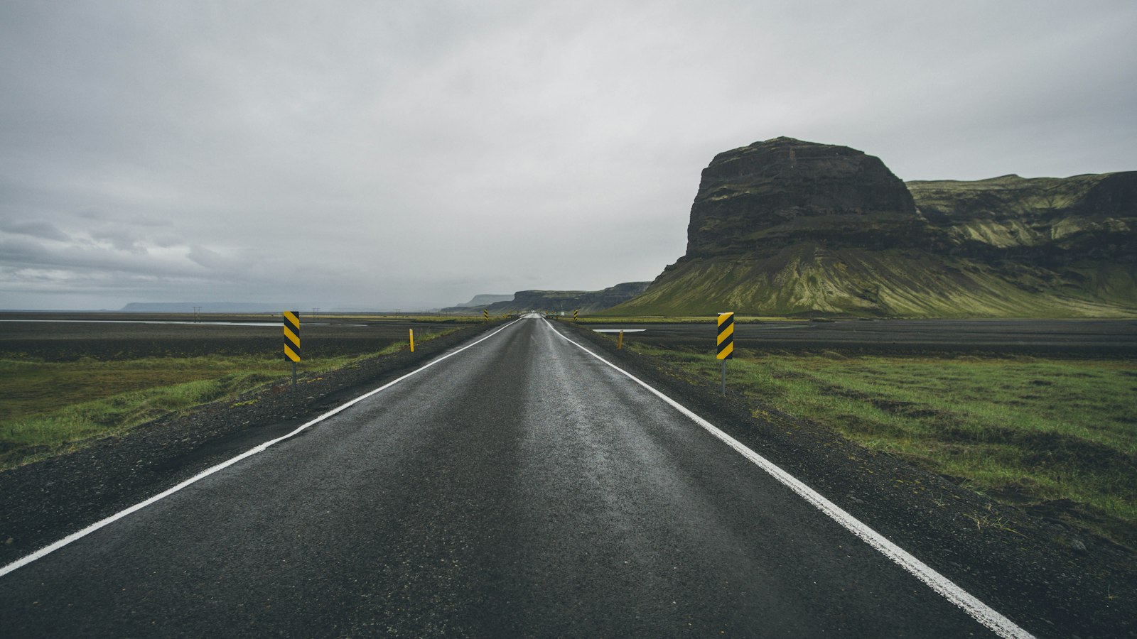
For much of its history, Iceland had no formal roads: travel across the island meant following rough tracks marked by cairns, often barely visible across stretches of lava and mountain. It was only when small fishing villages began to thrive in the 19th century that the first true improvements to infrastructure linked farms, budding settlements, and ports.
From humble beginnings to a national network
As villages grew and trade increased, often through connections with Danish merchants, carriage trails slowly crisscrossed the landscape. By the early 1900s, these tracks became the backbone for what would eventually become a proper road system. The arrival of automobiles in the early 20th century made the need for more reliable roads clear, and by 1918, the Icelandic government established formal management over route building and maintenance. This was the year Vegagerðin, known in English as the Icelandic Road and Coastal Administration, was founded to oversee roads and harbours, marking the beginning of state-controlled infrastructure development.
For decades, the main goal of road planners was to ensure every inhabited area and farm had access to the national network. Budget constraints and Iceland’s challenging geography, with headlands and cliffs especially in the east and Westfjords, meant slow progress in these early years. Nevertheless, by 1960, the country celebrated linking all settlements via roads, after which the focus shifted to upgrading surfaces and constructing bridges and tunnels.
Modernisation and Vegagerðin’s transformation
The 1950s and 60s brought a leap forward, partially aided by resources from the Marshall Plan. Roads were widened, paved, and improved with new technology. The Vegagerðin agency, once a hands-on builder of roads, gradually transformed into an administrative body. By the 1980s and 1990s, most construction was performed by private contractors, a trend that continued until today, when the agency’s role is limited to planning, project management, and supervision.
Vegagerðin’s reach is felt well beyond the capital region. From its current headquarters in Garðabær, the agency manages four main regions, South, Southwest, Northwest, and Northeast, each with service areas for road and sign maintenance. The Southwest, which includes Reykjavík, is more densely developed, requiring a unique approach to service. Throughout the countryside, local outposts ensure year-round road and harbour upkeep.
Iceland’s road network is defined by several categories under national law: main roads (þjóðvegir) connect areas outside towns and are maintained by Vegagerðin. Alongside local municipality routes, these form an integrated system that ties together far-flung communities, making everyday journeys and the movement of goods possible.
Since 2012, government reforms have further shaped Vegagerðin’s mission, merging its maritime and road building functions with other agencies. Today, it operates with the goal of efficient and safe land and sea transportation, with decisions shaped by the needs of Icelandic society as a whole. The agency draws most of its funding from national tax revenue and is overseen by the Ministry of Infrastructure. Its work is a constant negotiation between the demands of travel, the challenges of climate and landscape, and the rhythms of daily life.
Sources
- Wikipedia
- Wikipedia (Icelandic) in Icelandic


