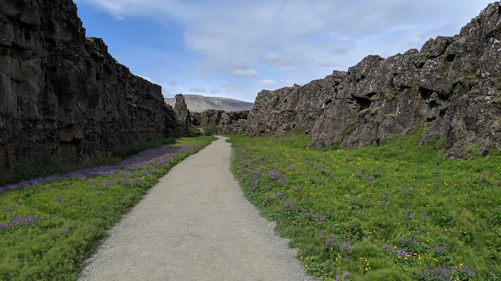
Iceland’s geological story is defined by its extraordinary position: the only large landmass where a mid-ocean ridge rises above sea level. Here, the North American and Eurasian tectonic plates are slowly pulling apart, while a hotspot in the Earth’s mantle supplies eruptions of fresh magma. This rare combination gives Iceland a unique identity among the world’s islands and a prominent place in global geology.
The bedrock of Iceland began to form between 16 and 18 million years ago, making it comparatively young on Earth’s timeline. However, the processes leading to its emergence go back tens of millions of years. When the supercontinent Pangaea rifted apart, the North Atlantic Ocean began to open about 57–53 million years ago, and it is believed that a mantle plume, an ascending column of hot rock now called the “Iceland plume”, played a significant role in this break-up. Geologists debate exactly how much influence the hotspot has had, but many agree that as Greenland and Eurasia parted, the plume’s sustained upwelling enabled the creation of vast basalt flows and even a temporary land bridge between the continents.
The story gets more complicated with the movement of tectonic plates and the apparent shifting of the Icelandic hotspot itself. Evidence from rocks found on both sides of the Atlantic suggests that the hotspot has wandered over time, once sitting beneath Greenland and now beneath Iceland. Mapping this motion helps researchers piece together the history of continents and ocean floors, although not all data fit neatly with the mantle plume theory. Some findings argue against a uniquely hot mantle under Iceland, adding to the ongoing scientific intrigue.
Rift zones, volcanism and landscapes
Today, the geological activity on Iceland is concentrated in distinct rift zones, linear belts where the crust is splitting apart. The Reykjanes Peninsula, for instance, continues the Mid-Atlantic Ridge onto land, feeding into other rift zones such as the Western and Eastern Volcanic Zones. These dynamic regions are marked not only by frequent earthquakes but also by high-temperature geothermal systems, with underground temperatures exceeding 200°C at depth. Beyond the plate boundary areas, lower-temperature geothermal systems harness more modest heat flow.
Iceland’s landscape is continuously reshaped by volcanic activity. Repeated eruptions build up mountains and plateaus, while explosive events lay down ash and lava across the countryside. Notable in recent memory is the 1783 eruption of Laki, which unleashed massive quantities of sulfur dioxide, caused a severe famine in Iceland, cooled global temperatures and had indirect effects as far as Europe and India. More recently, the creation of the island Surtsey between 1963 and 1967, and the ongoing eruptions on the Reykjanes Peninsula since 2021, show that Iceland’s land is very much alive.
Glacial legacy, sediments and fossil clues
Glaciers have been a dominant force since about 3.3 million years ago, covering some 11% of the island today. The largest, Vatnajökull, has proven especially sensitive to climate changes and lost around 10% of its mass in recent times. Beneath the ice caps, active volcanoes sometimes unleash floods known as jökulhlaup, a phenomenon unique to volcanic islands with large glaciers.
While most Icelandic rocks are volcanic in origin, rare sedimentary deposits can be found, such as on the Tjörnes Peninsula in the north. These layers feature marine fossils and plant remains, opening a window onto ancient environments in a landscape better known for its dynamism and transformation.
Sources
- Wikipedia
- Wikipedia (Icelandic) in Icelandic


