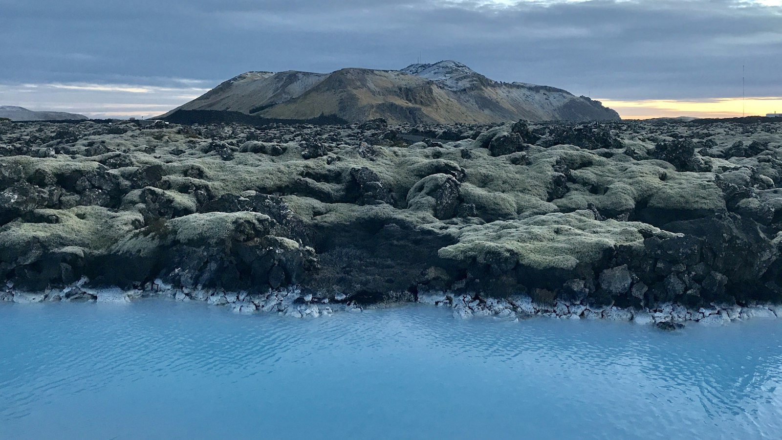
South of Reykjavík, about 35 kilometres away, the landscape of Hellisheiði is dominated by Heiðin há, an ancient shield volcano. At 626 metres in height, Heiðin há is an example of the volcanic activity that has played a central role in shaping Iceland’s harsh yet striking interior.
The story written in lava and land
Heiðin há emerged roughly 6,000 years ago during the Mid-Holocene, making it slightly younger than neighboring shield volcanoes such as Selvogsheiði. The volcano forms part of the Brennisteinsfjöll volcanic system, and over time, its vast lava flows have spread in every direction across Hellisheiði. With a surface area of about 160 square kilometres and an estimated volume of 10 cubic kilometres, Heiðin há’s eruptions covered the highlands, stretching toward mountain features like Bláfjöll and the tuya Geitafell. The lava encircled geological landmarks, including the older Selvogsheiði volcano and Urðarfell.
The top crater of Heiðin há, located south of Bláfjöll, is nearly 400 metres wide. Today, it is almost completely filled with lava, giving the volcano its broad, gently sloping shape. Over the centuries, the slopes have been carved by small canyons with names such as Strandagjá, Hrossagjá, Réttargjá, and Götugjá, illustrating the ongoing impact of water and ice on the surface science left by fire.
Lava tubes and hidden stories
Speleologists have discovered caves within Heiðin há’s lava fields. Among these, Kuluhattshellar, known as the ‘Bowler Hat Caves’, and Fosshellir stand out. Kuluhattshellar shows signs of erosion but still contains delicate lava stalactites, evidence of the unique environment created by cooling magma. Fosshellir, whose name means ‘Water/Lava fall cave,’ is notable for a lava fall feature inside.
The area’s landscape is further marked by an old trail known as Selvogsgata. This 25-kilometre-long route crossed the Reykjanes peninsula from the southern coast at Selvogur bay toward Hafnarfjörður, near Reykjavík. Selvogsgata passes over the slopes of Heiðin há, traversing lava fields such as Katlahraun and valleys like Hlíðardalur, and rising to the small pass at Hvalskarð. For centuries, this route connected farms to markets, with people and livestock making arduous journeys, sometimes lasting 14 hours, often in difficult winter conditions.
The trail begins near Strandarkirkja, a church constructed at the turn of the 19th century. According to local tradition, the church was built by sailors who survived troubled waters, keeping a vow of thanksgiving. Strandarkirkja remains a site of pilgrimage, and visitors may see votive offerings within.
The old paths that crisscross Heiðin há offer a glimpse into Iceland’s interaction with both its geological origins and human history. Each canyon, cave and path is a reminder of how the landscape shaped, and was shaped by, those who called it home.


