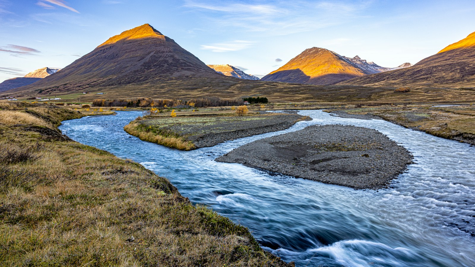
Winding through the northern part of Sauðárkrókur and emptying into the Gönguskörð estuary, the river Gönguskarðsá holds an unusual mix of history, tragedy and innovation in its swift waters. Icelanders in Skagafjörður have long known the dangers it poses, almost twenty drownings have been recorded, making it notorious in the region.
Currents, crossings and changing names
Gönguskarðsá begins in the Gönguskörð passes. From the outset, it collects water from smaller streams pouring down Tindastóll and Molduxi, in addition to other nearby mountains. It is a spring creek, what Icelanders call a “bergvatnsá”, and its currents become especially hazardous during flood periods. Those who have lived in the area often told of the river’s treacherousness, at one point calling it the deadliest river in Skagafjörður County.
Bridging the river was a milestone for residents. The first bridge spanned Gönguskarðsá in 1875, later joined by another closer to the estuary. Despite these connections, the river demanded respect from all who crossed: in 1917, Guðmundur, the father of the well-known singer Stefán Íslandi, drowned there, a tragedy among many.
From settlement landings to power innovations
Centuries before bridges or technical endeavours, early settlers arrived by sea. The centuries-old Book of Settlements, known as Landnámabók, notes that some of Iceland’s first inhabitants landed their ships at the mouth of Gönguskarðsá. However, no boats have made landfall there in recent centuries, underscoring changes in how Icelanders interact with their environment.
Modernity brought new uses for Gönguskarðsá. From 1947 to 1949, the river powered a small hydroelectric station near Sauðárkrókur. Water collected in a modest reservoir was channelled to the plant at the town’s northern tip. A concrete pressure-equalising tank, the first of its kind in Iceland, regulated the flow. This achievement represented local innovation, but the system was not immune to natural disaster. In the spring of 2007, the supply pipe ruptured, releasing mud and water that flooded several houses.
A curious detail adds to the river’s mystique. Although it receives no major tributaries, Gönguskarðsá’s name changes to Kamba when it is still nine kilometres from the sea. At this point, it is also called Víðidalsá, with the two sections together stretching about 27 kilometres (17 miles).
Sources
- Wikipedia
- Wikipedia (Icelandic) in Icelandic


