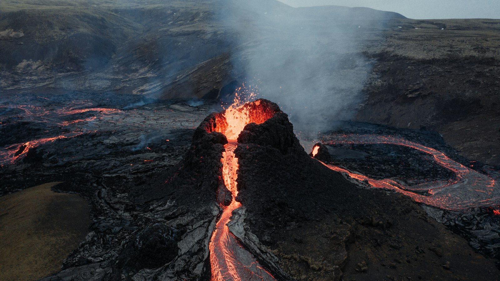
The Grímsnes volcanic system, located in South Iceland, is a relatively compact fissure or crater row that tells a quiet but fascinating tale of geologic renewal. South-east of Lake Þingvallavatn and not far from the volcanic corridors of the Reykjanes Peninsula, Grímsnes consists of scattered lava fields, craters, and vents that erupted during the Holocene epoch.
Most of the region’s lava emerged from at least ten separate volcanic vents. These vents were primarily involved in effusive eruptions, producing flows of olivine tholeiite basalt, a dense, dark lava that is common in Icelandic geology. The area’s last confirmed eruption took place roughly 7,000 years ago, as determined by tephrochronology (the study of volcanic ash layers). Only one small explosive (tephra) event has been identified amongst the predominantly gentle outpourings of lava.
A landscape of layered lava and craters
Grímsnes is bordered by rivers and lakes: to the east lies Álftavatn, set along the course of the river Sog, while the southern edge meets the confluence of Sog and Hvítá rivers at an elevation of around 20 metres above sea level. The highest point in the lava fields is the Seyðishólar cone, which rises to 214 metres.
Several characteristic features punctuate the landscape. One is the maar crater of Kerið in the middle of the field, where 7–8 metres of Lyngdalsheiði basalt, lava laid down before the last ice age, can be seen. Kerið itself descends to a total depth of 55 metres, with its base partially filled by a 10-metre deep lake.
From Kerið, an 800-metre chain of crater rows extends southeast, passing through features like Tjarnarhólar and the vent of Rauðhólar. Some of the youngest lavas flowed from Rauðhólar and its offshoots, while the largest northern and eastern fields, Seyðishólar-Kerhólahraun, cover 23.5 square kilometres. These significant flows reached volumes up to 0.36 cubic kilometres and have been dated at 7,050 and 9,500 years before present.
Moving rivers, growing forests
The geography of Grímsnes has always been linked to its watercourses. To the east, the Kálfshólar vent sent lava flowing as far as the Sog river, covering more than 8 square kilometres. The outermost vent, Borgarhólar, is both physically and geologically distinct, situated away from the main lava fields and separated by intervening terrain. Its lava field is modest in size but notable for an eruption about 8,200 years ago.
Much of the Grímsnes lava has become a quiet birch and willow woodland. Over centuries, new eruptions and quiet interludes allowed vegetation to gradually reclaim once-barren flows. Today the landscape blends the rough forms of hardened lava with patches of shrub and intermittent forest.
People have long settled among these features. The wider region has developed as a summerhouse destination, but for most of its history, Grímsnes has been a patchwork of farmlands and volcanic memories, shaped by the flow of fire and the slow work of water and wind.
Sources
- Wikipedia
- Wikipedia (Icelandic) in Icelandic


