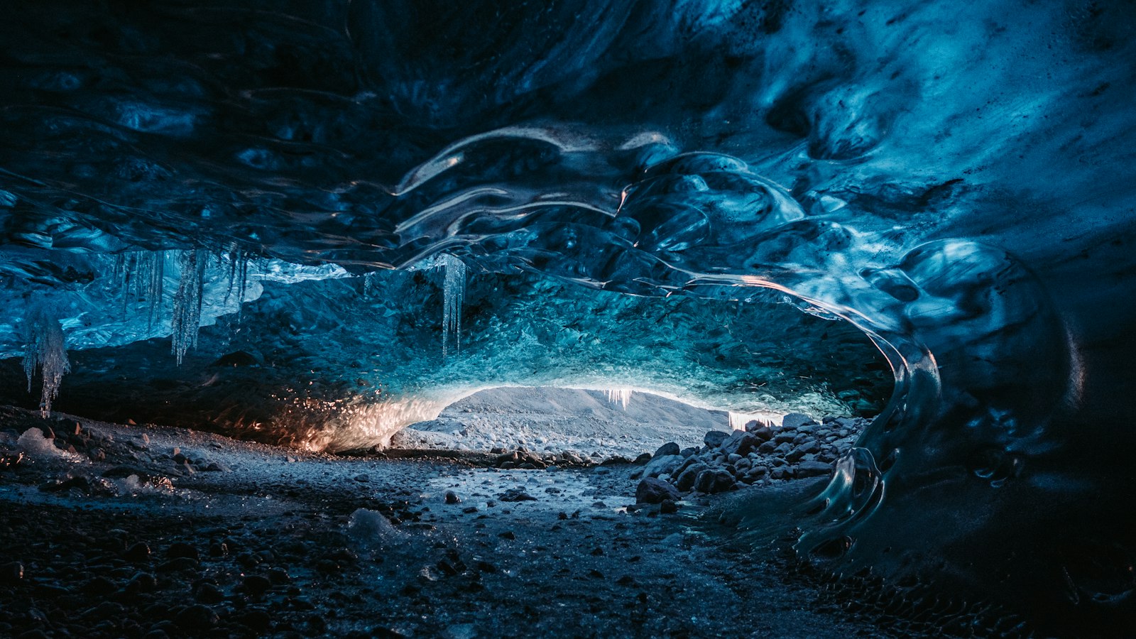
Bárðarbunga, pronounced [ˈpaurðarˌpuŋka], is a towering and active stratovolcano lying underneath Vatnajökull, the country’s most expansive glacier, in southeast Iceland. At 2,000 metres above sea level, it is the second highest peak on the island, following Hvannadalshnjúkur, but it remains hidden from easy view, covered by up to 850 metres of solid ice.
The volcano sits within Vatnajökull National Park and is the centrepiece of a much larger volcanic system. This system, called the Bárðarbunga-Veiðivötn system, stretches roughly 190 kilometres in length and can be up to 25 kilometres wide. The caldera measures around 65 square kilometres and sinks up to 700 metres below the rim. The entire formation is cloaked in glacial ice, making its interior features invisible to the naked eye and challenging for volcanologists to study.
A landscape shaped by ice and fire
Bárðarbunga’s eruptions are infrequent but can be significant. Eruptions typically occur about every 50 years, while the largest explosive event occurred in 1477, with a volcanic explosivity index of 6. The volcano’s reach extends beyond its current icy confines. Around 8,600 years ago, it produced the Þjórsá Lava flow, the largest known lava flow of the Holocene on Earth, covering approximately 950 square kilometres.
Seismic activity has been a defining feature. Between 2007 and 2014, sustained earthquake swarms were recorded, and the 2014–2015 eruption began following a dramatic sequence of tremors. During this event, the caldera subsided by as much as 59 metres as magma shifted from beneath the volcano into new fissures, triggering the notable Holuhraun eruption. This released substantial volcanic gases, particularly sulphur dioxide, affecting air quality across Iceland, though it did not create significant flight disruptions.
Bárðarbunga’s dynamic activity is closely linked to neighbouring volcanic systems, including the very active Grímsvötn to the south-west and Askja to the north-east. Eruptions in this region can set off changes in adjacent volcanoes, and there is geological evidence that magma from Bárðarbunga has interacted with other volcanic fields through underground channels.
Moments of crisis and scientific discovery
Beyond eruption records, Bárðarbunga has also witnessed moments of peril and rescue. In September 1950, an Icelandic cargo aircraft crash-landed on the glacier. With damaged radios, the crew spent several days stranded before successfully contacting rescuers using an emergency transmitter. International efforts following the crash included US military aircraft deploying to assist, but one plane became stranded and had to be abandoned on the glacier.
Scientific investigations over recent decades have revised our understanding of Icelandic volcanism. Many ash layers once thought to be from other sources have been traced back to Bárðarbunga. Massive subsidence events, such as during the 2014–2015 eruption, have drawn international scientific collaboration, as nearly fifty scientists from multiple countries coordinated efforts to study the volcanic and glacial processes at play.
Bárðarbunga takes its name from an early Icelandic settler, Gnúpa-Bárður; the Icelandic word ‘Bunga’ means ‘bulge’ or ‘bump,’ referencing the volcano’s rising shape beneath the glacier. Its remote location, concealed by deep ice, means most will never see Bárðarbunga directly, but its geological influence is vast and ongoing.
Sources
- Wikipedia
- Wikipedia (Icelandic) in Icelandic


